Hiking route
Weesen – Quinten
Flumserberg & Walensee · St. Gallen · Switzerland
Moderate
Rated by Amden Weesen Tourismus
Weesen, See or by car: Speerplatz car park, Weesen
- Distance
- 10.2km
- Duration
- 3:30h
- Ascent
- 454m
- Descent
- 452m
Loading map…
Status today
- Season: April – November · in season
Elevation profile
↑ 454 m · ↓ 452 m
1
Along the route
- 1
Quinten boat stop
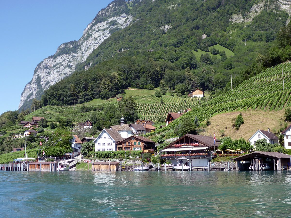
Photo: scudici, CC BY-SA 3.0 / Wikimedia Commons
About the route
Heidiland's route from Weesen along the main road to Fli, then on a narrow road partly cut into the rock to Betlis. It passes the Strahlegg, a former Roman watchtower, and the Seerenbach falls, climbs into the Seerenwald and drops on a stony path with hand ropes to car-free Quinten. Slippery bare limestone in places; good boots are essential. One way; back by boat.
More routes in Flumserberg & Walensee
Nearby
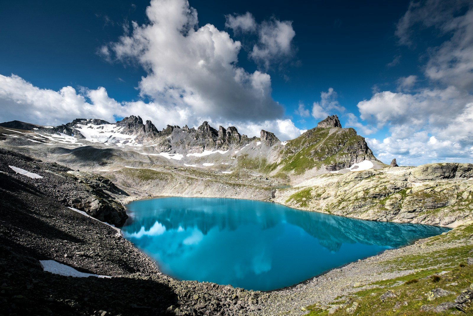 Pizol Five Lakes Hike
Photo: Boris Baldinger / Unsplash
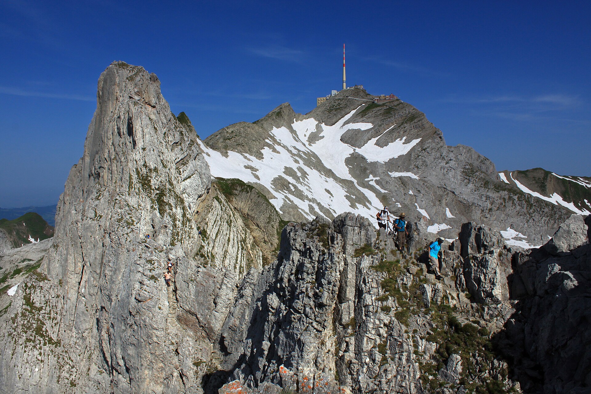 Wildhaus
Photo: Uwelino, CC BY-SA 4.0 / Wikimedia Commons
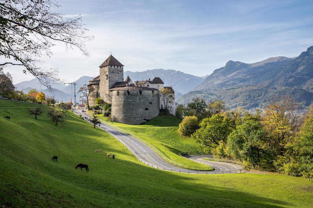 Vaduz City Guide
Photo: Leonhard Niederwimmer / Unsplash
Sources (10) · last checked October 2026
Route data checked: October 2026
- Heidiland Tourismus — access, history
- High Trail Maschgenkamm – Prodkamm — route, distance, elevation, time, difficulty, access, season and opening
- Weesen – Quinten — route, distance, elevation, time, difficulty, access, season and opening, history
- Bergbahnen Flumserberg AG (flumserberg.ch) — access, season and opening
- Schiffsbetrieb Walensee AG (walenseeschiff.ch) — access, season and opening
- Switzerland Tourism (myswitzerland.com) — history
- swisstopo — difficulty, access
- Amden Weesen Tourismus — route
- Weesen – Quinten — route, difficulty
- Betlis – Seerenbach Falls — route, distance, elevation, time, difficulty, season and opening
- Schiffsbetrieb Walensee — access, season and opening
- Deutscher Alpenverein (alpenverein.de) — emergency numbers
- ch.ch (Swiss authorities) — emergency numbers
- BRouter (OpenStreetMap) — track