Hiking route
Sentier du Salève: Veyrier – Mont Salève
Geneva · Switzerland
Challenging
Rated by Téléphérique du Salève
Veyrier, Pont de Sierne
- Distance
- 7km
- Duration
- 2:40h
- Ascent
- 780m
- Descent
- 90m
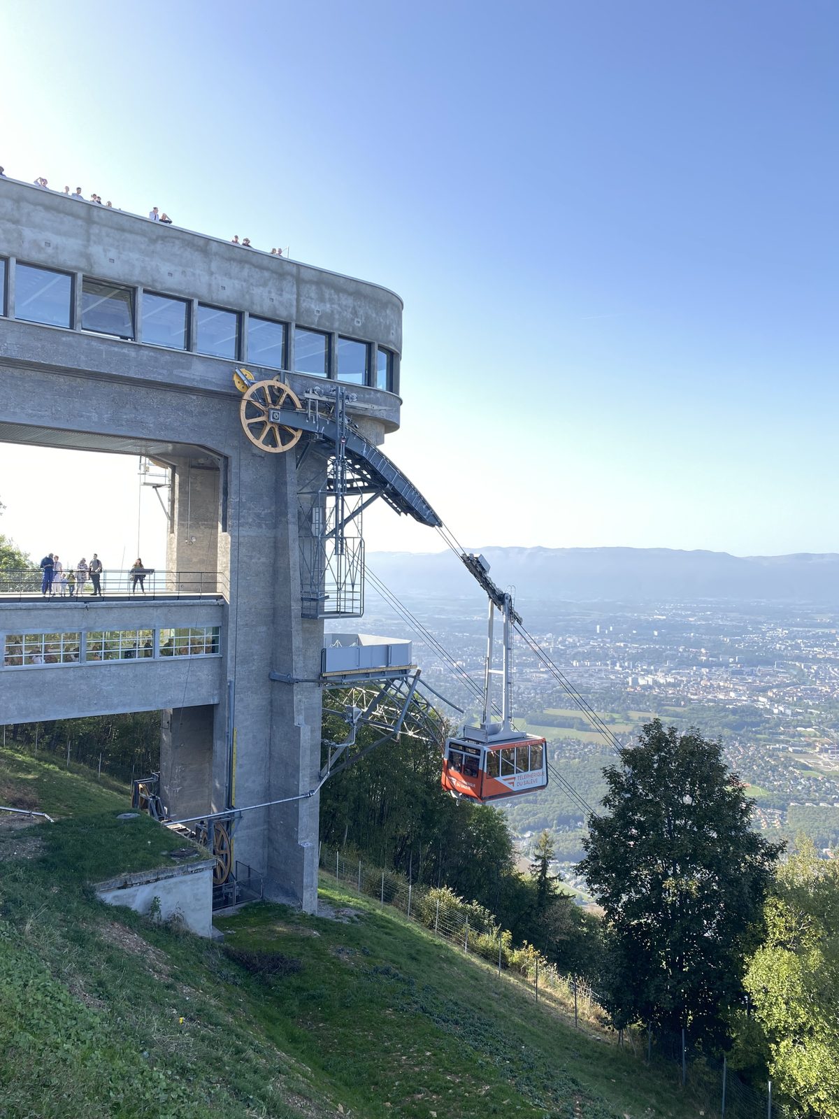
Photo: Credits to Mourad Ben Abdallah / Wikimedia Commons, CC BY-SA 4.0 / Wikimedia Commons
Status today
- Salève cable car closed for maintenance until 26 Nov
- Season: April – October · out of season
Map and elevation profile
Loading map…
↑ 780 m · ↓ 90 m
12
Along the route
- 1
Monnetier
- 2
Salève cable car (top station)
About the route
SchweizMobil route 144 from Pont de Sierne in Veyrier up the Pas de l'Échelle, a 14th-century staircase cut into the rock, and over eroded steps to Monnetier. From there it climbs on through beech forest and meadows to the cable car's top station, a listed building with views over Geneva and the Jura. Down by cable car.
Nearby
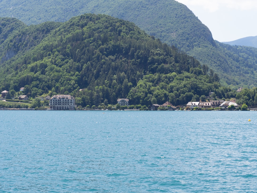 Annecy: Old Town Walk & Semnoz
Photo: Luca Dugaro / Unsplash
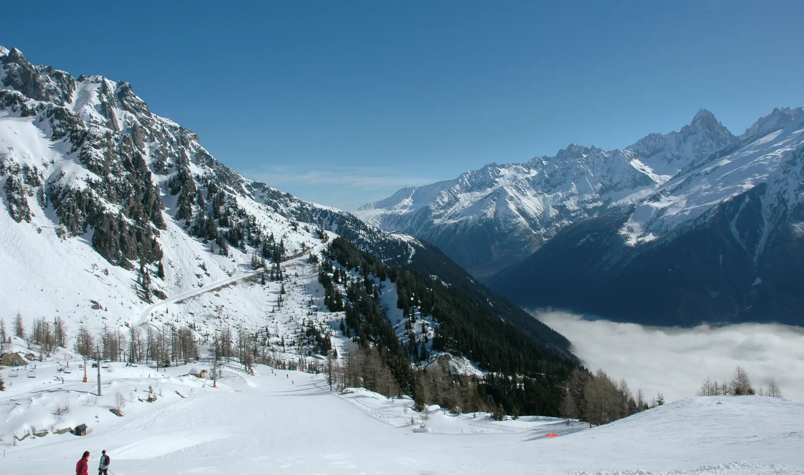 Chamonix Ski Areas
Photo: DimiTalen, CC0 / Wikimedia Commons
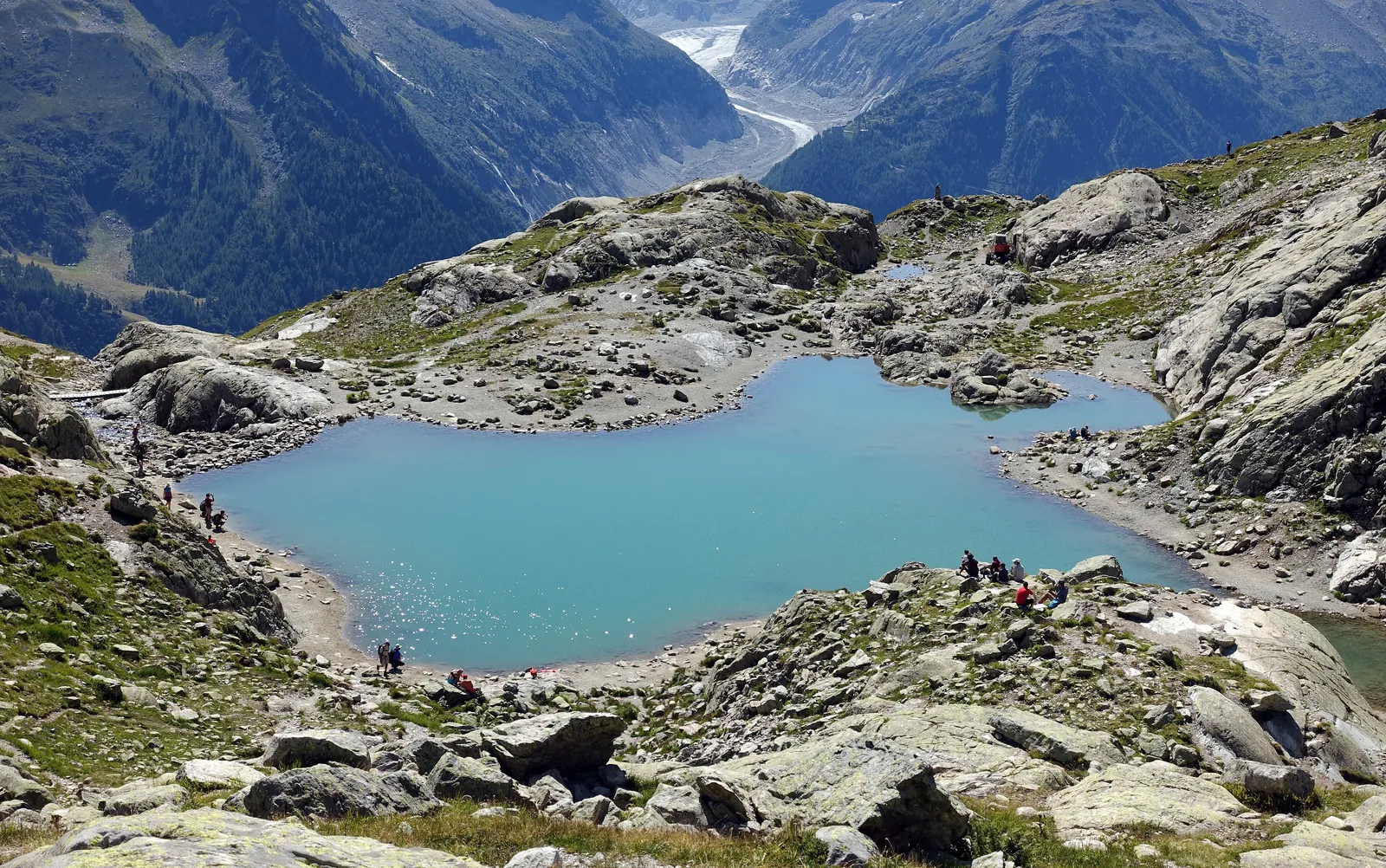 Chamonix: Lac Blanc
Photo: Tiia Monto, CC BY-SA 3.0 / Wikimedia Commons
Sources (11) · last checked October 2026
Route data checked: October 2026
- Geneva Tourism (geneve.com) — access, season and opening, prices, history
- SIG (sig-ge.ch) — season and opening, history
- City of Geneva (geneve.ch) — season and opening
- CERN — season and opening
- Téléphérique du Salève — route, difficulty, access, rules, season and opening, history
- tpg (Geneva public transport) — access
- Téléphérique du Salève (telepherique-du-saleve.com) — season and opening
- Deutscher Alpenverein (alpenverein.de) — emergency numbers
- ch.ch (Swiss authorities) — emergency numbers
- SchweizMobil — route, track, distance, elevation, time, difficulty
- Haute-Savoie Mont-Blanc Tourisme — route, difficulty