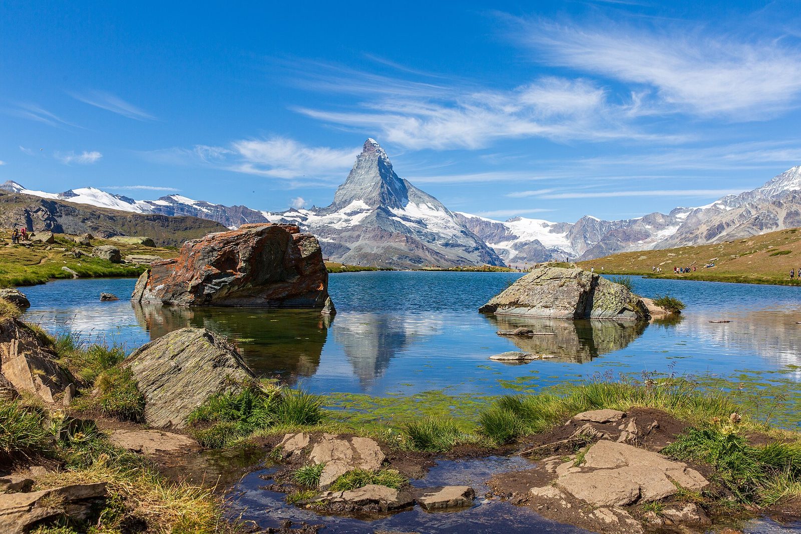
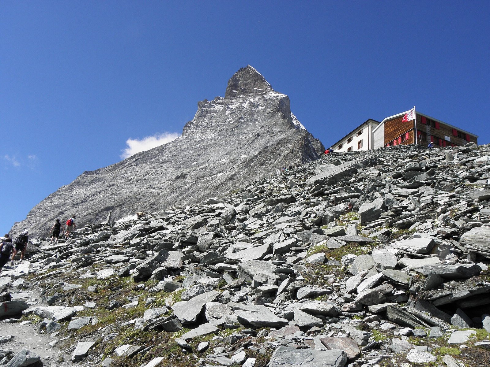
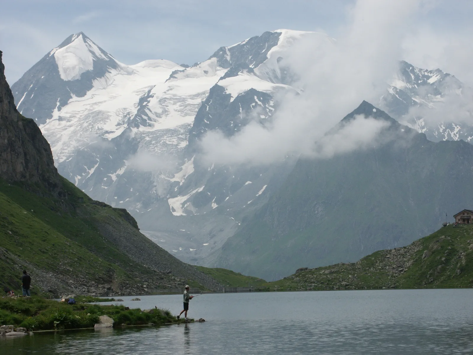
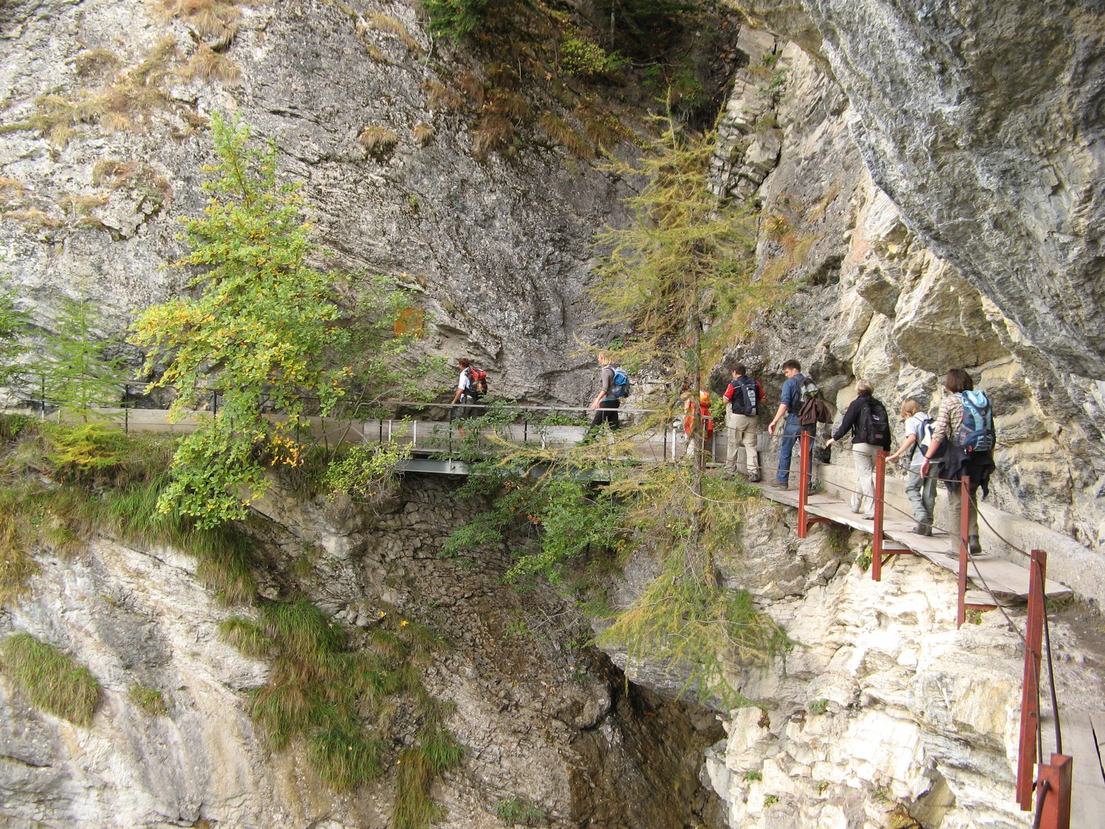
What sets the Saas-Fee Glacier Trail apart is the rare chance to walk right up to the edge of an alpine glacier without needing ropes, crampons, or mountaineering experience. Here, the Fee Glacier spills down from the towering Mischabel massif in a slow-moving river of ice, and the trail brings you close enough to hear the occasional crack and groan of shifting ice. It’s a landscape that feels both ancient and alive, where interpretive signs explain how glaciers shape the mountains and why they’re retreating. For families or casual hikers, this is one of the most accessible glacier encounters in the Alps.
The route begins in the car-free village of Saas-Fee, a charming cluster of wooden chalets and flower-lined streets at 1,800 meters. From the village center, the trail climbs gently through larch forests and past grazing cows, following a well-maintained gravel path. The first highlight comes early: the Moränenweg, or Moraine Trail, where signs point out the massive piles of rock and debris left behind by the glacier’s advance and retreat over centuries. These moraines frame the valley like natural ramparts, offering a tangible lesson in glaciology.
After about 45 minutes of easy walking, the trees thin and the path emerges onto open terrain, revealing the full sweep of the Fee Glacier. The ice here is a striking blue-white, streaked with bands of rock and dust, and the trail brings you to a viewpoint just above its snout. On clear days, the reflection of the 4,545-meter Dom—the highest peak entirely within Switzerland—shimmers in the meltwater pools below. The interpretive signs along this stretch explain how the glacier has shrunk dramatically in recent decades, making this a poignant place to witness climate change firsthand.
The trail continues along the glacier’s edge for another kilometer, passing a small lake fed by glacial meltwater. The water is an otherworldly turquoise, a color created by the fine rock flour suspended in it. This is a perfect spot to pause, listen to the trickle of streams cutting through the ice, and watch for alpine birds like choughs or even ibex on the rocky slopes above. The return journey follows the same path, though some hikers choose to loop back via the nearby Felskinn cable car station for a different perspective.
This hike is best enjoyed from July through September, when the snow has melted and the trail is fully accessible. While the elevation gain is minimal, the altitude—starting at 1,800 meters and rising to just over 1,950 meters—means some hikers may feel the thin air, especially if they’re not acclimatized. The terrain is easy, with no technical challenges, but sturdy shoes with good grip are still recommended, as the path can be rocky or damp in places. Bring layers, as temperatures can drop quickly near the glacier, and don’t forget sun protection—glacier hikes mean intense UV exposure.
The Saas-Fee Glacier Trail is a gentle but unforgettable introduction to the high Alps. It’s short enough for families with children, yet profound enough to leave even seasoned hikers with a sense of awe. Here, the ice isn’t just a distant spectacle; it’s a living part of the landscape, and this trail brings you close enough to feel its quiet power.
Swiss trains run to the minute. Validate your ticket before boarding. Tap-to-pay works in nearly all shops and restaurants.
Nearest station and connections from major Swiss cities.