Hiking route
Gaisberg trail 14: Parsch – Gaisbergspitze
Salzburg · Austria
Easy
Rated by TSG Tourismus Salzburg GmbH
Ludwig-Schmederer-Platz
- Distance
- 4.6km
- Duration
- 2:30h
- Ascent
- 849m
Loading map…
Status today
- No closures on record.Official route page ↗
Elevation profile
↑ 849 m
About the route
From the Ludwig-Schmederer-Platz stop in Parsch (trolleybus 6), trail 14 follows the bed of the old Gaisberg rack railway (1887–1928) in a steady climb to Oberjudenberg (800 m), then the Stefaniesteig and Büffelsteig up to the summit at 1287 m. Easy but rocky; sturdy shoes. Bus 151 back to Mirabellplatz.
Nearby
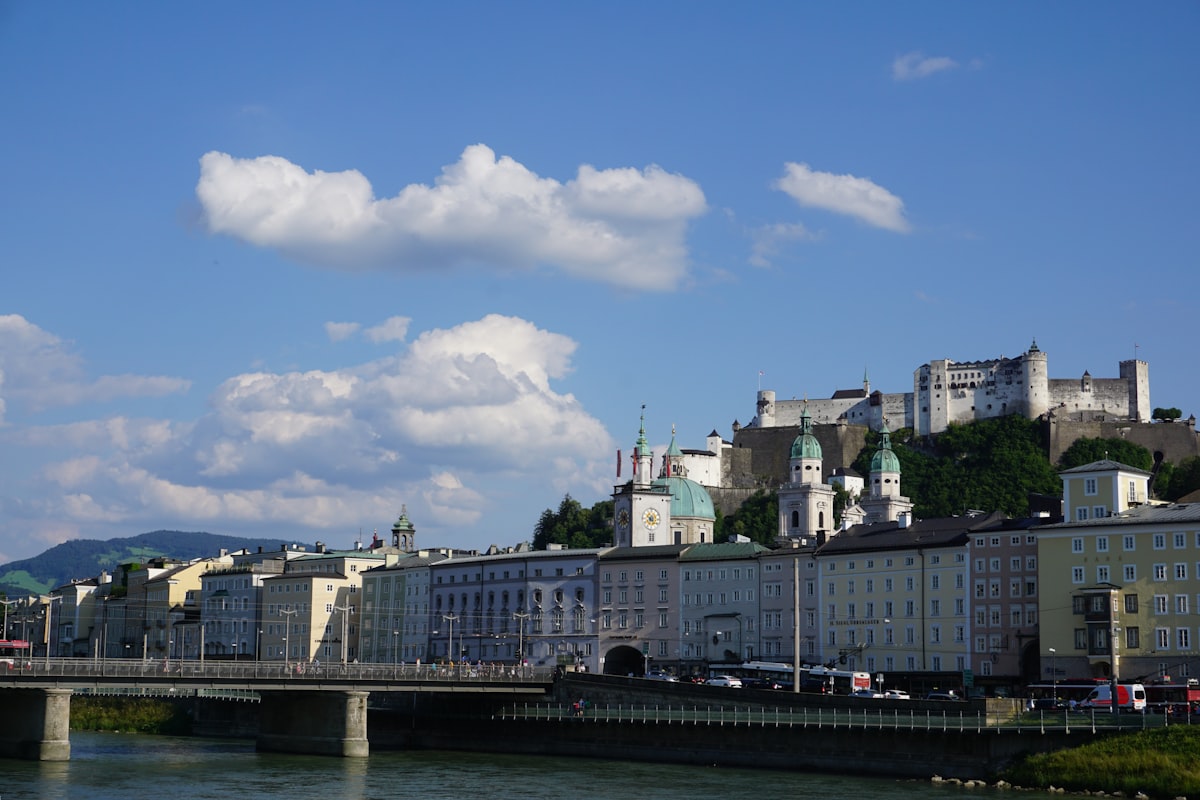 City guide Salzburg Old Town & Fortress
Photo: Sebastien Devocelle / Unsplash
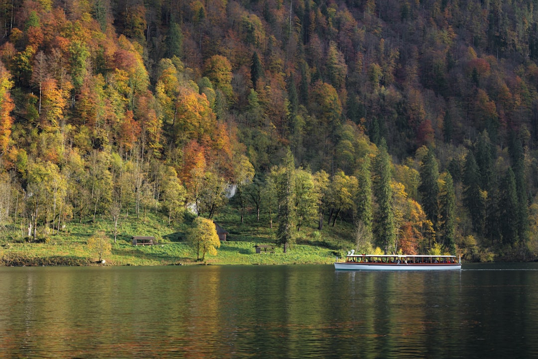 Berchtesgaden
Photo: Daniel Seßler / Unsplash
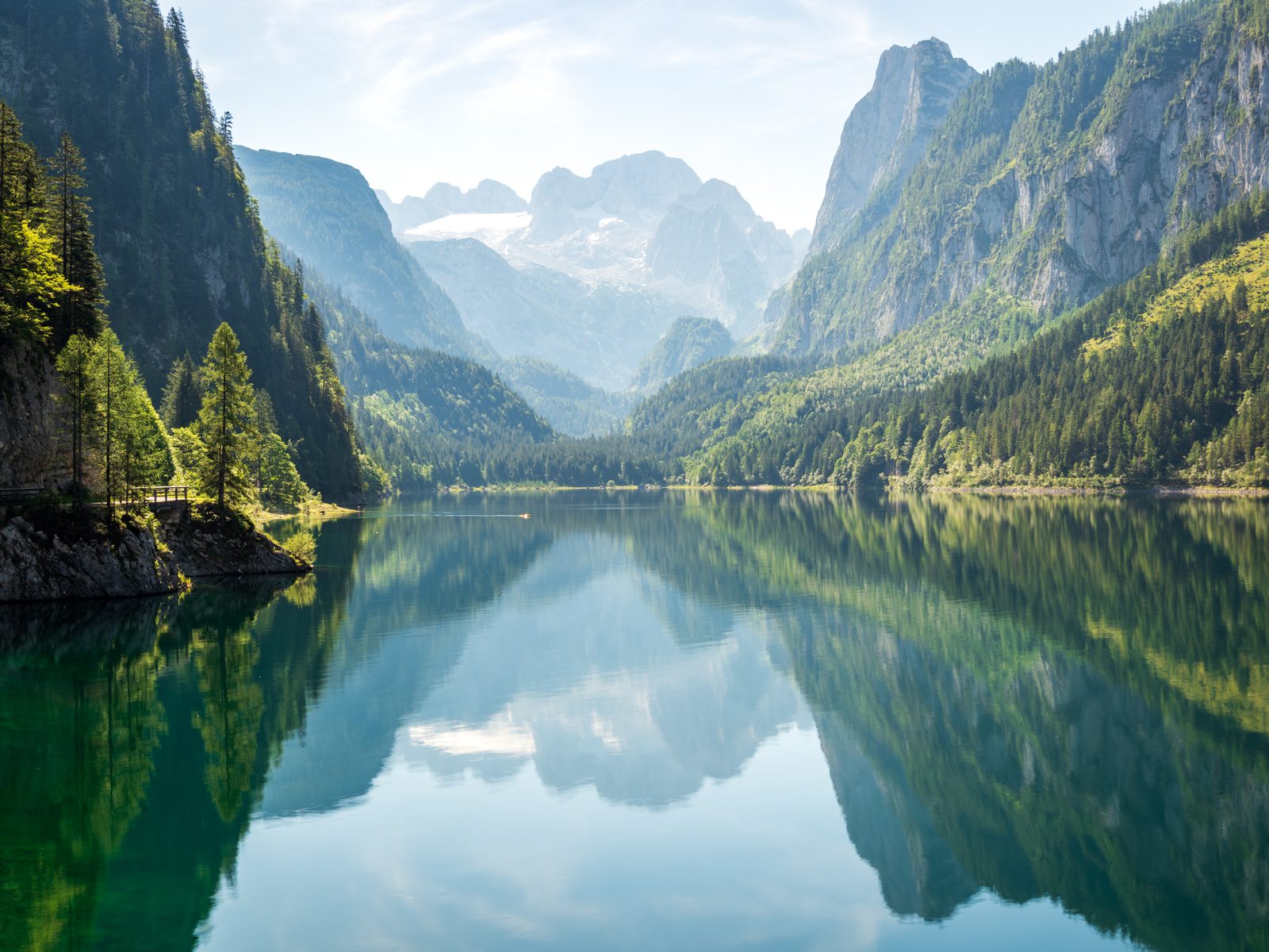 Gosausee: Lake Loop with the Dachstein View
Photo: Dimitry Anikin, CC0 / Wikimedia Commons
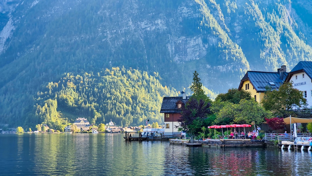 Hallstatt & Dachstein Krippenstein
Photo: Minku Kang / Unsplash
Sources (10) · last checked October 2026
Route data checked: October 2026
- TSG Tourismus Salzburg GmbH (salzburg.info) — access, history
- Salzburger Burgen & Schlösser Betriebsführung (festung-hohensalzburg.at) — season and opening, history
- Internationale Stiftung Mozarteum (mozarteum.at) — season and opening, history
- Salzburger Festspielfonds (salzburgerfestspiele.at) — season and opening
- Stadt Salzburg (stadt-salzburg.at) — season and opening
- Augustiner Bräu Kloster Mülln (augustinerbier.at) — season and opening, history
- Deutscher Alpenverein (alpenverein.de) — emergency numbers
- oesterreich.gv.at — emergency numbers
- Salzburg AG — route, distance, time, access
- OpenStreetMap — track, distance