Hiking route
Bettmerhorn – Märjelensee – Bettmeralp
Bettmerhorn · Aletsch · Valais · Switzerland
Challenging
Rated by Aletsch Arena AG
Bettmeralp – Bettmerhorn Bettmergrat or by car: Car park Bettmeralp valley station
- Distance
- 14.6km
- Duration
- 5:30h
- Ascent
- 486m
- Descent
- 1,142m
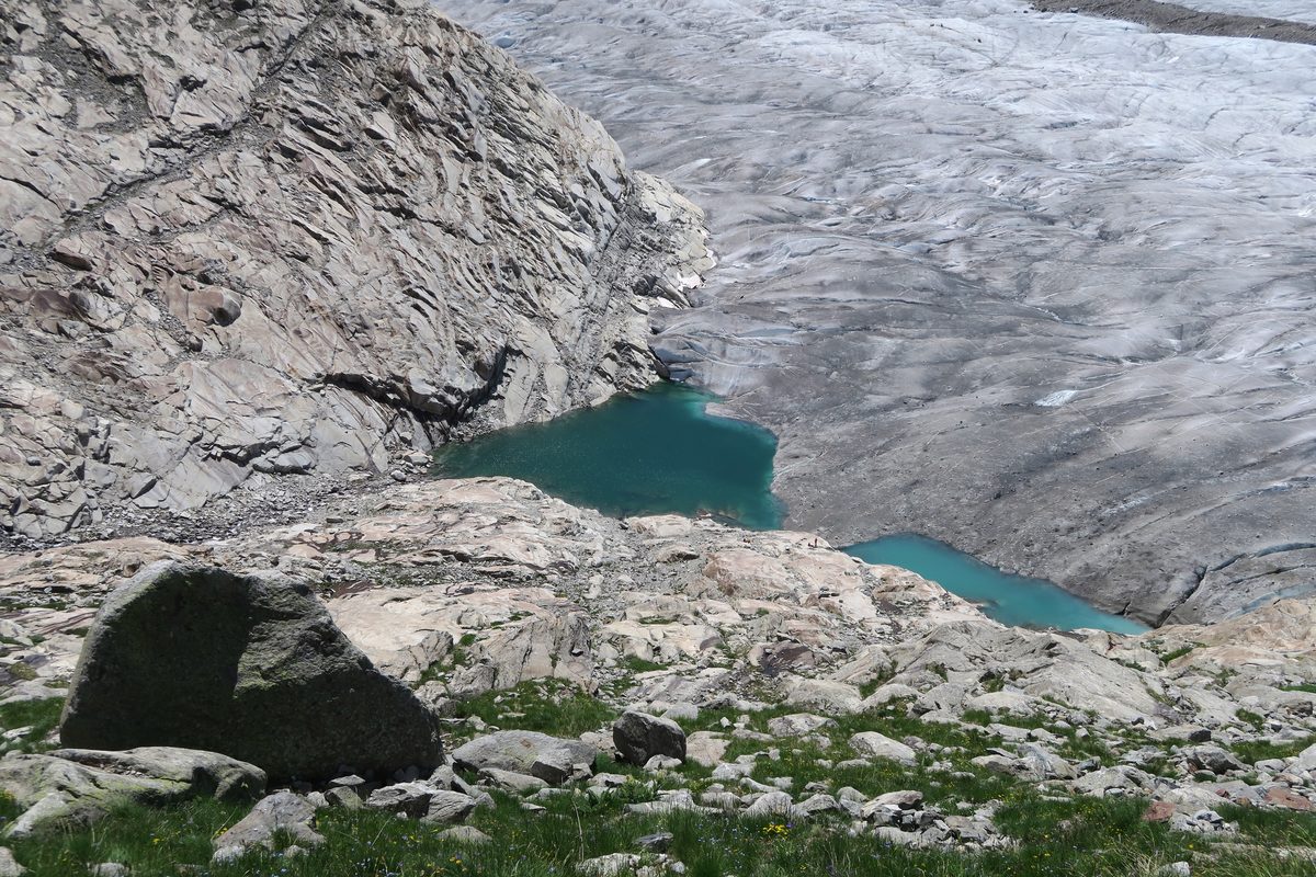
Photo: Kecko, CC BY 2.0 / Wikimedia Commons
Status today
- Season: June – October · out of season
Map and elevation profile
Loading map…
↑ 486 m · ↓ 1,142 m
123+156
Along the route
- 1
View Point Bettmerhorn
- 2
Märjelenseen
- 3
Gletscherstube Märjela
- 4
Tälligrat tunnel
- 5
Fiescheralp
- 6
Bettmerhorn gondola
About the route
From the Bettmerhorn viewpoint via Roti Chumma on a rock-carved path with stone steps to the Märjelensee and the Gletscherstube, through the Tälligrat tunnel to Fiescheralp and back to Bettmeralp. One way; gondola up.
More routes in Aletsch Arena
Nearby
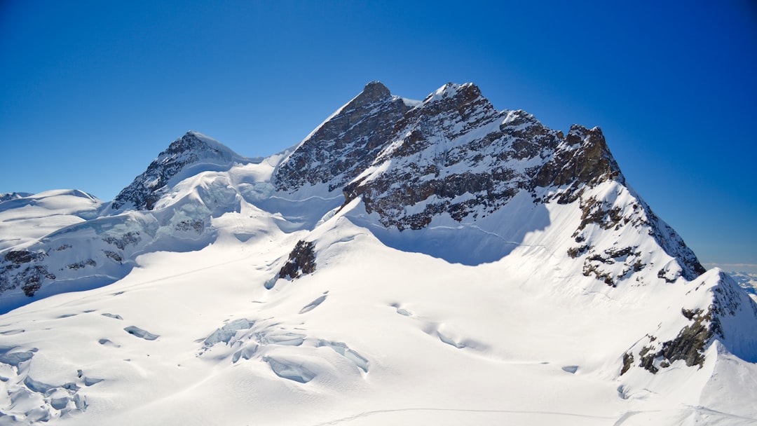 Jungfraujoch Top of Europe
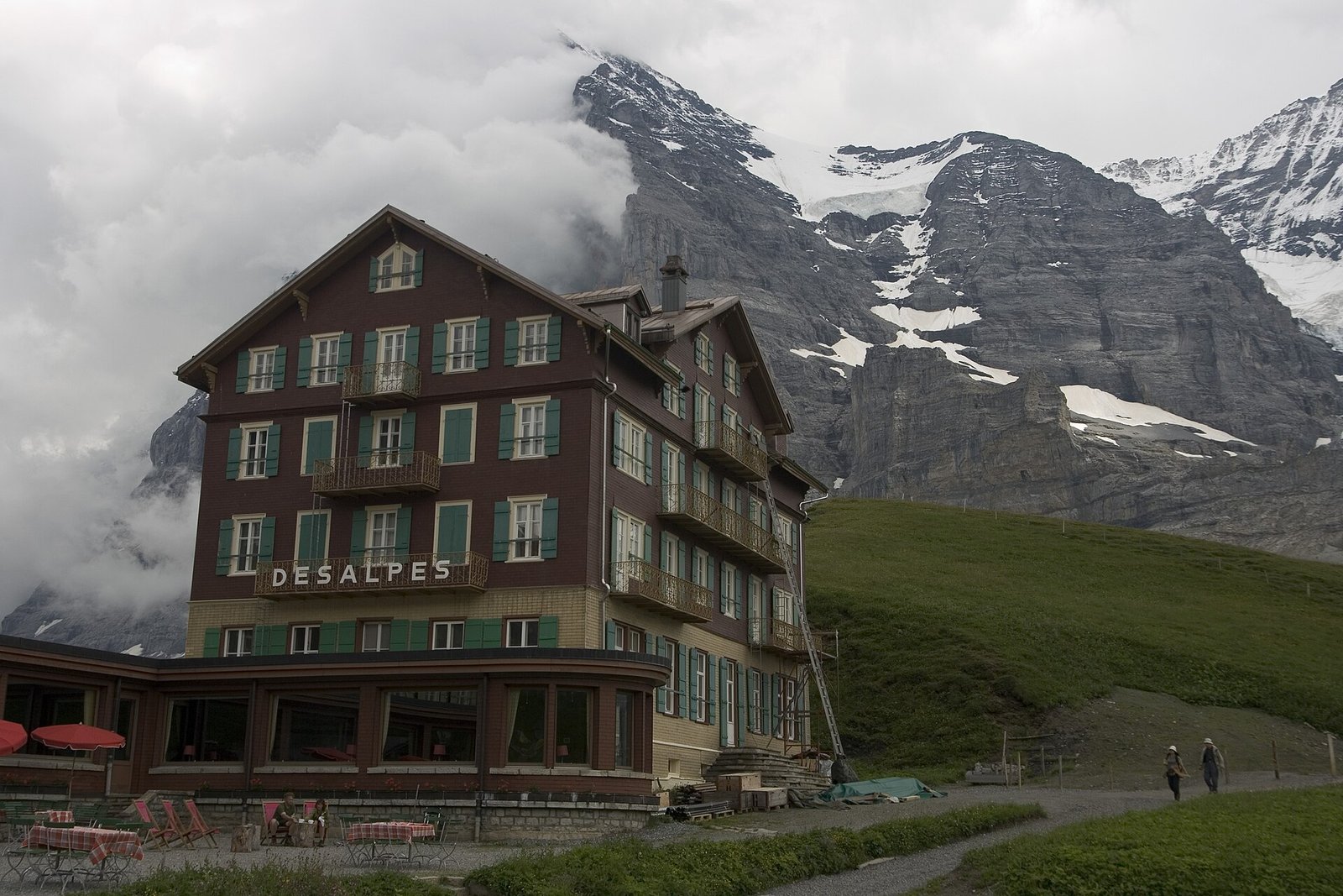 Via Alpina: Grindelwald – Kleine Scheidegg – Lauterbrunnen
Photo: Maksym Kozlenko, CC BY-SA 4.0 / Wikimedia Commons
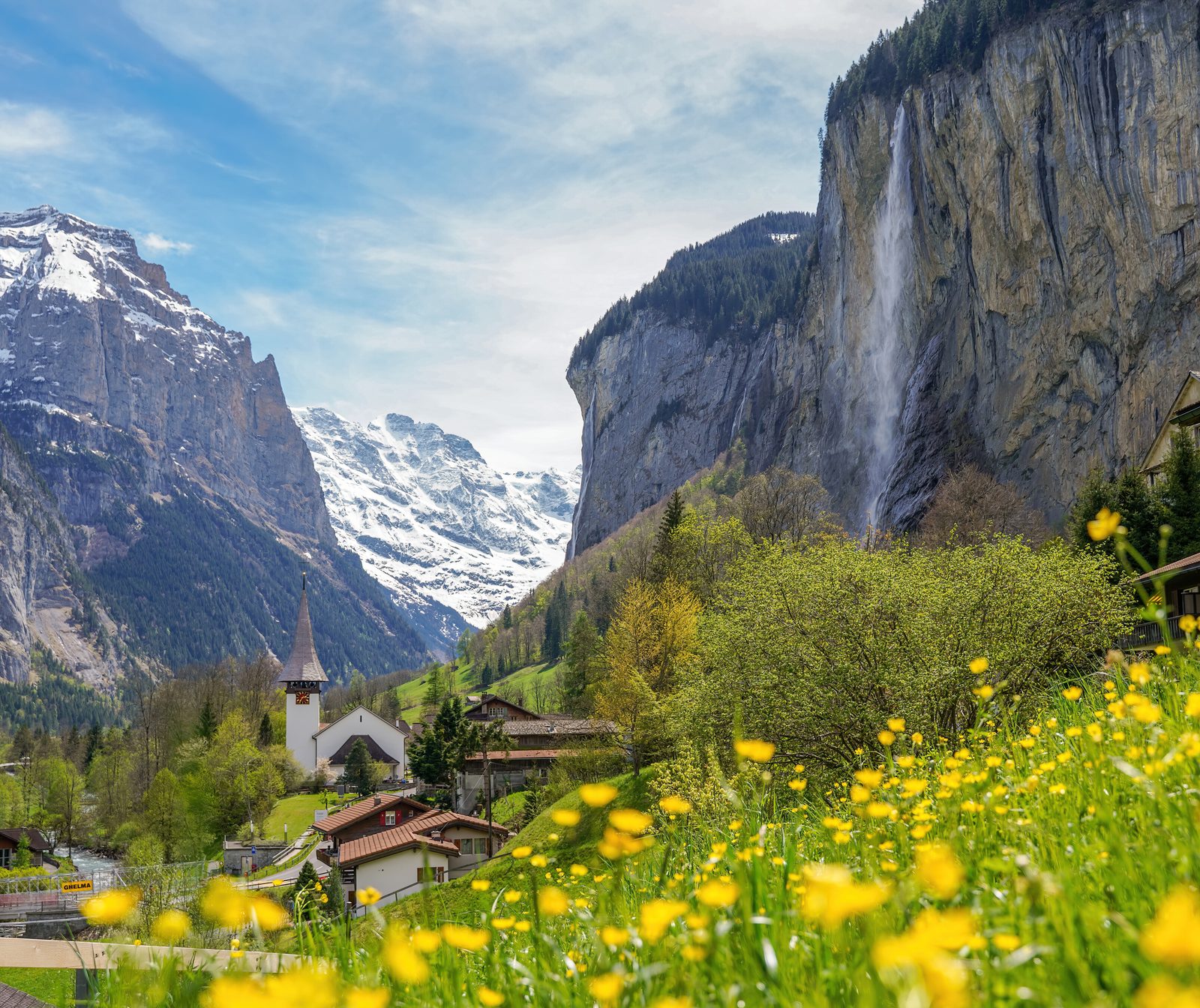 Lauterbrunnen Valley
Photo: Giles Laurent, CC BY-SA 4.0 / Wikimedia Commons
Sources (11) · last checked October 2026
Route data checked: October 2026
- Aletsch Arena AG — route, access, history
- Moosfluh – Riederfurka themed trail — route, elevation, difficulty, access, season and opening
- Bettmerhorn – Märjelensee – Bettmeralp — route, distance, elevation, time, difficulty, access, season and opening
- Aletsch Bahnen (aletscharena.ch) — season and opening
- Valais/Wallis Promotion — route, distance, elevation, time, difficulty, rules, season and opening
- SchweizMobil — history
- UNESCO-Welterbe Swiss Alps Jungfrau-Aletsch — history
- swisstopo — access
- Moosfluh – Riederfurka themed trail — elevation
- Bettmerhorn – Märjelensee – Bettmeralp — difficulty
- Air Zermatt — emergency numbers
- Deutscher Alpenverein (alpenverein.de) — emergency numbers
- ch.ch (Swiss authorities) — emergency numbers
- Valais/Wallis Promotion (valais.ch) — route
- BRouter (OpenStreetMap) — track, distance