Region · 4 routes
Lauterbrunnen Valley
Lauterbrunnen · Bernese Oberland · Switzerland
The Lauterbrunnen valley has 72 waterfalls, Jungfraubahnen count; the Staubbach drops off the cliff above the village and turns to fine, dust-like spray.
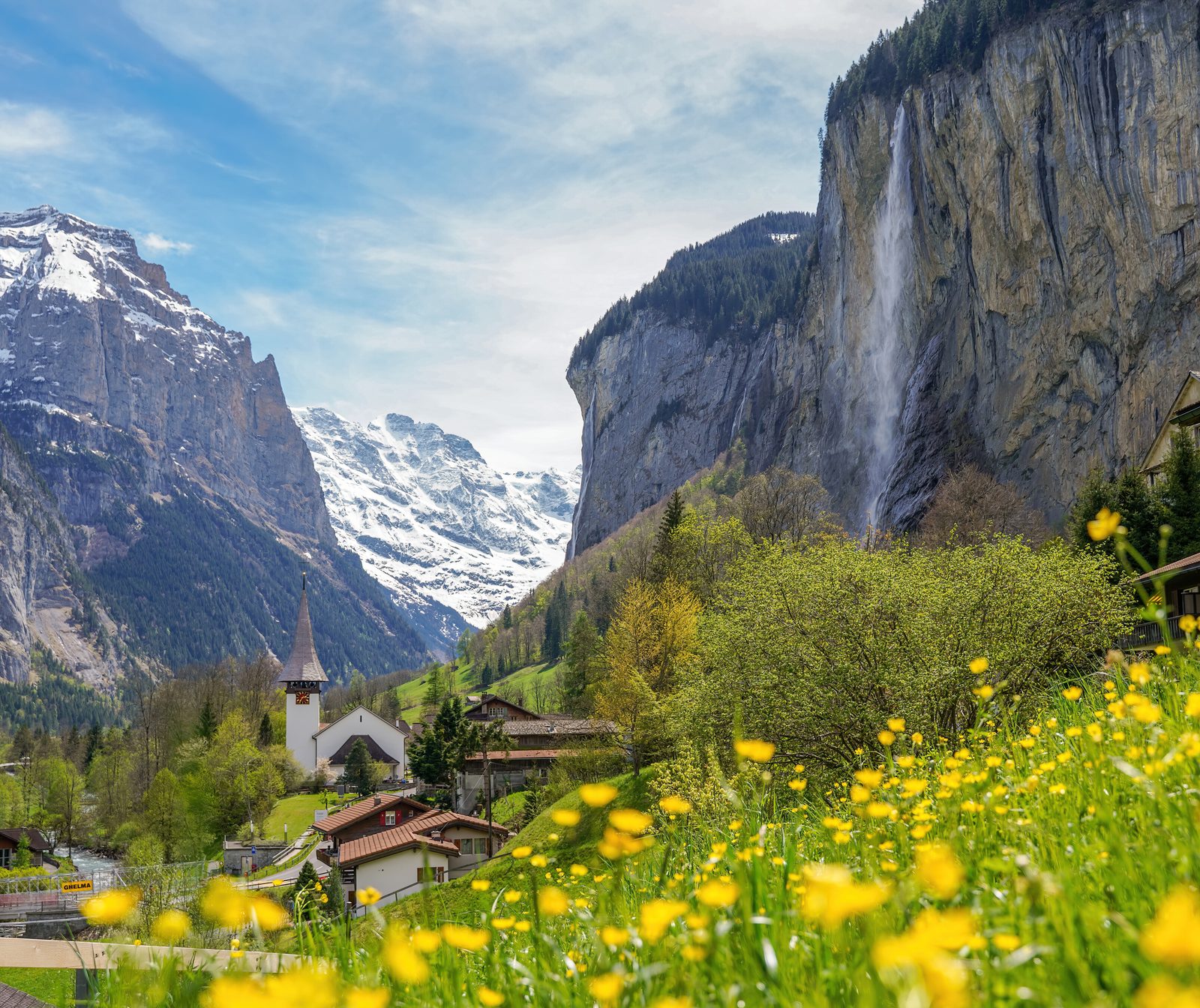
Photo: Giles Laurent, CC BY-SA 4.0 / Wikimedia Commons
Status today
- Allmendhubel funicular: Closed
- Cable car Lauterbrunnen – Grütschalp: Opens 7 Nov
- Season: The Allmendhubel funicular is closed for maintenance until 11 December 2026
Map and routes
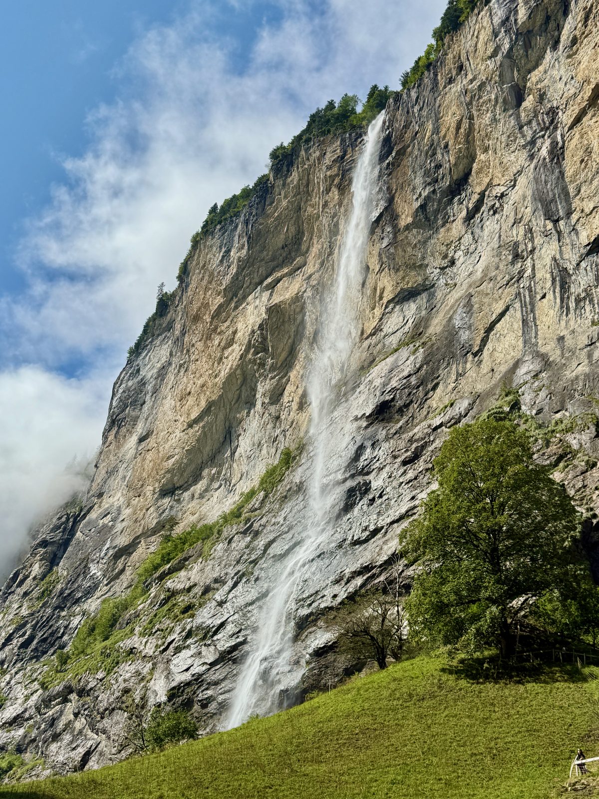
Photo: Oleg Yunakov, CC BY-SA 4.0 / Wikimedia Commons
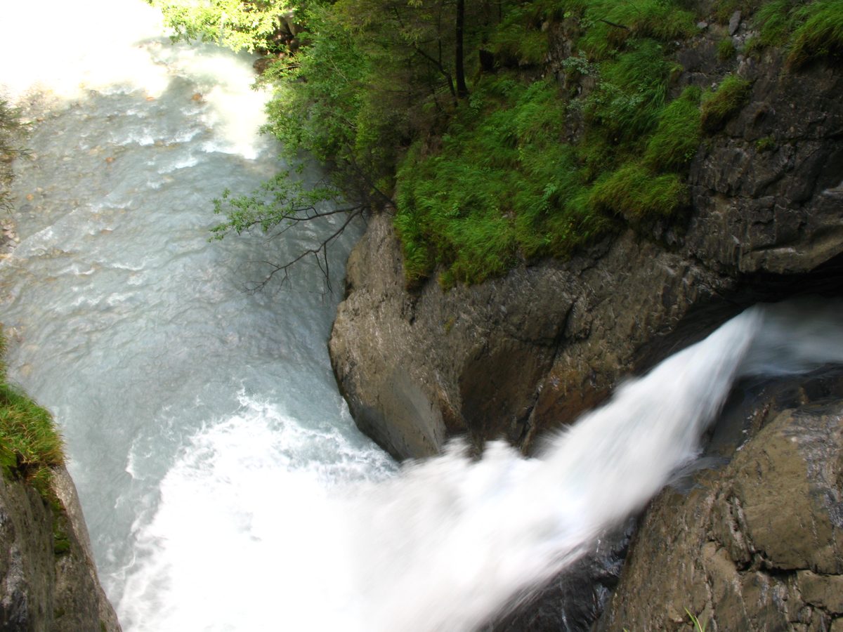
Photo: Andrew Bossi, CC BY-SA 2.5 / Wikimedia Commons
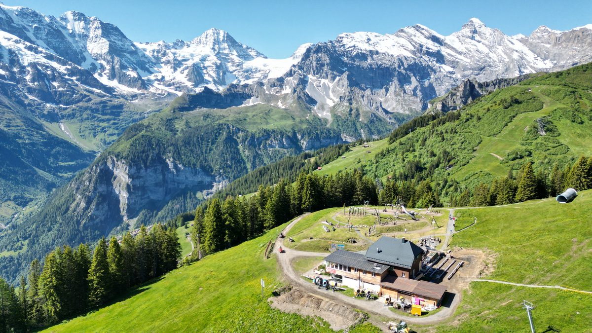
Photo: Bob Tan, CC BY-SA 4.0 / Wikimedia Commons
- 4Schiltalp
- 5Suppenalp
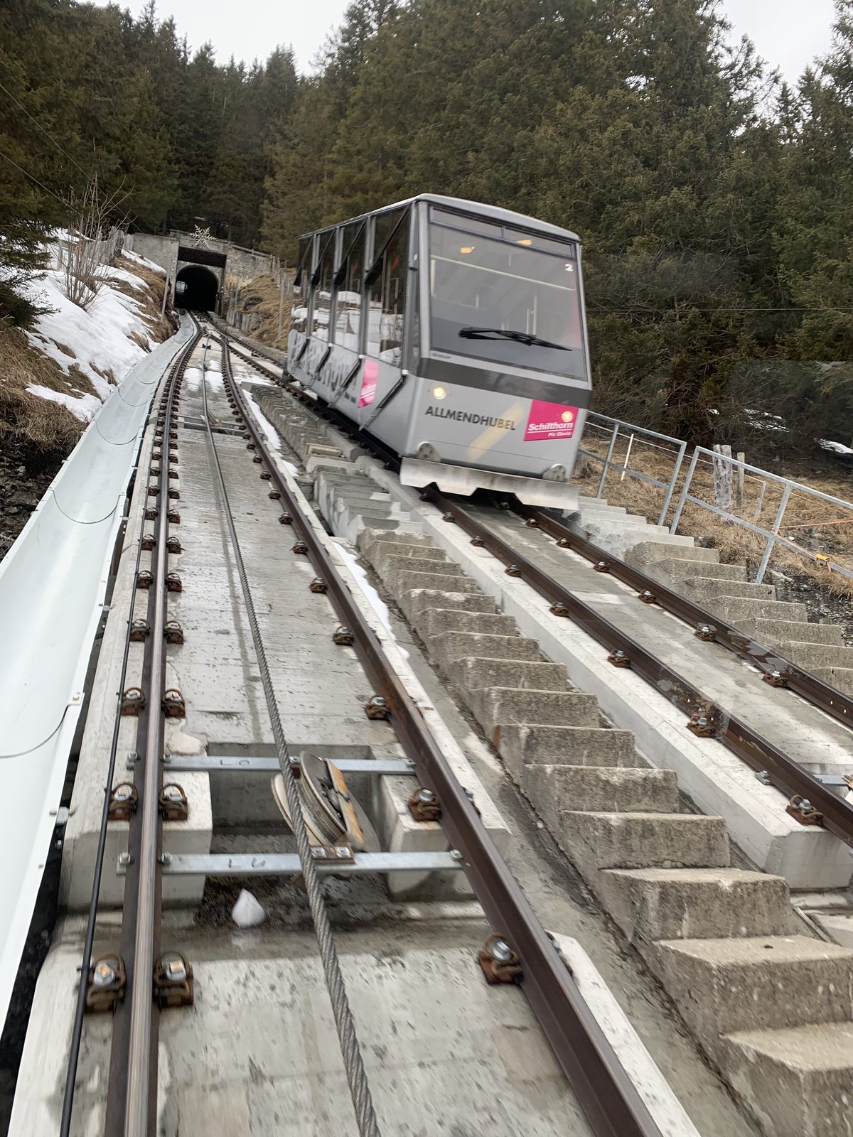
Photo: Chrisrail09, CC BY-SA 4.0 / Wikimedia Commons
Photo: Herbert Ortner, CC BY 4.0 / Wikimedia Commons
- 8Schilthorn cable car Stechelberg – Mürren
Overview
Mürren, on the terrace high above the west side, has no road: the cable car from Lauterbrunnen and the train from Grütschalp reach it, or the Schilthorn cable car from Stechelberg.
Read more
This guide takes four routes published by Lauterbrunnen Tourismus and Mürren Tourismus. The valley walk follows the river from Lauterbrunnen past the Staubbach and Trümmelbach falls to Stechelberg, flat enough for a pushchair. Above Mürren, three routes end on the Allmendhubel, where a funicular runs down to the village: the Mountain View Trail from Grütschalp, facing the Eiger, Mönch and Jungfrau, the short Flower Trail from Mürren through the Blumental, and the Northface Trail past the Schiltalp, with 12 boards on the history of the mountains around Mürren.
Lauterbrunnen Tourismus grades the valley walk easy: 6.8 km (4.2 mi) and almost flat, possible with a pushchair. The Flower Trail is easy and short but climbs 260 m (853 ft). The Mountain View Trail climbs 492 m (1,614 ft) from Grütschalp: Mürren Tourismus calls it easy, Schilthornbahn medium; the higher grade is shown. The Northface Trail is medium: 390 m (1,280 ft) up over 6.5 km (4 mi).
In Stechelberg at the end of the valley walk; on the Allmendhubel the Panorama Restaurant, next to the Flower Park playground; in the Blumental the Pension Sonnenberg and the Suppenalp; on the Northface Trail the Schiltalp, where cheese is made during the alpine season; the bistro at Grütschalp at the start of the Mountain View Trail.
The Allmendhubel funicular is closed for maintenance until 11 December 2026. Its next maintenance closure is from 5 April to 28 May 2027. The cable car to Grütschalp and the train to Mürren are closed for maintenance from 26 October to 6 November 2026. The Trümmelbach Falls are open daily from the beginning of April to the beginning of November.
Sights
Staubbach Falls
Waterfall above Lauterbrunnen; the water turns to fine, dust-like spray on its way down the cliff.Photo: Oleg Yunakov, CC BY-SA 4.0 / Wikimedia Commons
Trümmelbach Falls
Ten glacier waterfalls inside the mountain, reached by a tunnel lift; no children under 4 and no dogs.Photo: Andrew Bossi, CC BY-SA 2.5 / Wikimedia Commons
Food & huts
Panorama Restaurant Allmendhubel
Restaurant at the Allmendhubel top station, next to the Flower Park adventure playground.on 3 routes
Photo: Bob Tan, CC BY-SA 4.0 / Wikimedia Commons
Schiltalp
Alp on the Northface Trail where cheese is made during the alpine season.Suppenalp
Place to eat in the Blumental on the Flower Trail from Mürren.
Nearby
 Jungfraujoch Top of Europe
 Via Alpina: Grindelwald – Kleine Scheidegg – Lauterbrunnen
Photo: Maksym Kozlenko, CC BY-SA 4.0 / Wikimedia Commons
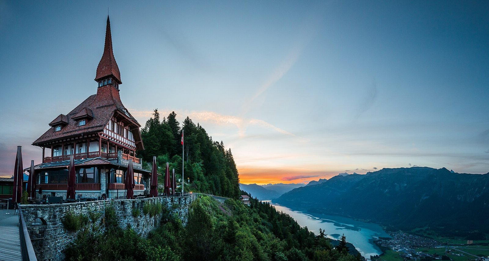 Interlaken: Harder Kulm, Lake & Town
Photo: Deralpinbergsteiger, CC BY-SA 4.0 / Wikimedia Commons
Sources (8) · last checked October 2026
Route data checked: October 2026
- Jungfraubahnen — route, access, season and opening
- Jungfrau Region Tourismus — rules, season and opening
- Schilthornbahn — difficulty, access, season and opening
- Mürren Tourismus
- Deutscher Alpenverein (alpenverein.de) — emergency numbers
- ch.ch (Swiss authorities) — emergency numbers
- Lauterbrunnen Tourismus — route, distance, elevation, time, difficulty, access
- BRouter (OpenStreetMap) — track