Hiking route
Moosfluh – Riederfurka themed trail
Bettmerhorn · Aletsch · Valais · Switzerland
Moderate
Rated by Aletsch Arena AG
Riederalp – Moosfluh or by car: Car Park Mörel-Riederalp
- Distance
- 4.3km
- Duration
- 1:31h
- Ascent
- 11m
- Descent
- 430m
Loading map…
Status today
- Season: June – October · out of season
Elevation profile
↑ 11 m · ↓ 430 m
1234
Along the route
- 1
Moosfluh gondola
- 2
View Point Moosfluh
- 3
View Point Hohfluh
- 4
Riederalp West
About the route
The operator's themed trail from the Moosfluh viewpoint via Hohfluh to the Riederfurka and down to Riederalp West, with five stations on the World Heritage Site. One way; gondola up.
More routes in Aletsch Arena
Nearby
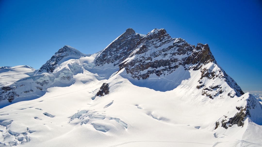 Jungfraujoch Top of Europe
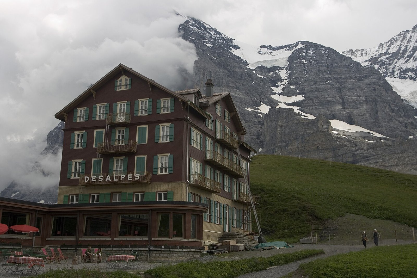 Via Alpina: Grindelwald – Kleine Scheidegg – Lauterbrunnen
Photo: Maksym Kozlenko, CC BY-SA 4.0 / Wikimedia Commons
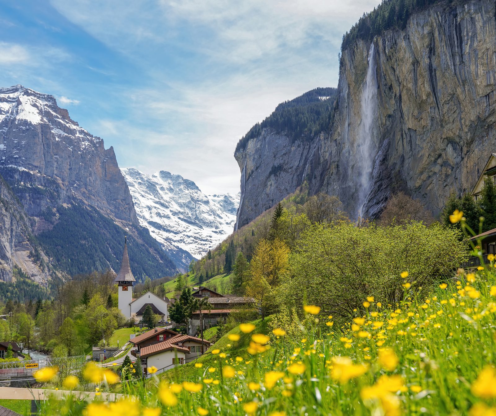 Lauterbrunnen Valley
Photo: Giles Laurent, CC BY-SA 4.0 / Wikimedia Commons
Sources (11) · last checked October 2026
Route data checked: October 2026
- Aletsch Arena AG — route, access, history
- Moosfluh – Riederfurka themed trail — route, elevation, difficulty, access, season and opening
- Bettmerhorn – Märjelensee – Bettmeralp — route, distance, elevation, time, difficulty, access, season and opening
- Aletsch Bahnen (aletscharena.ch) — season and opening
- Valais/Wallis Promotion — route, distance, elevation, time, difficulty, rules, season and opening
- SchweizMobil — history
- UNESCO-Welterbe Swiss Alps Jungfrau-Aletsch — history
- swisstopo — access
- Moosfluh – Riederfurka themed trail — elevation
- Bettmerhorn – Märjelensee – Bettmeralp — difficulty
- Air Zermatt — emergency numbers
- Deutscher Alpenverein (alpenverein.de) — emergency numbers
- ch.ch (Swiss authorities) — emergency numbers
- Valais/Wallis Promotion (valais.ch) — route
- BRouter (OpenStreetMap) — track, distance