Hiking route
Obersee from the Salet landing
Berchtesgaden · Bavaria · Germany
Easy
Rated by Bergerlebnis Berchtesgaden
Salet (Königssee boats) or by car: Königssee car park
- Distance
- 2km
- Duration
- 1:00h
- Ascent
- 13m
- Descent
- 13m
Loading map…
Status today
- Season: June – October · out of season
Elevation profile
Along the route
- 1
Salet boat landing
- 2
Saletalm
About the route
Out and back from the Salet boat landing past the Saletalm to the Obersee. Level and barrier-free as far as the boathouse on the lake, then steps and rock steps along the west shore.
More routes in Berchtesgaden
Nearby
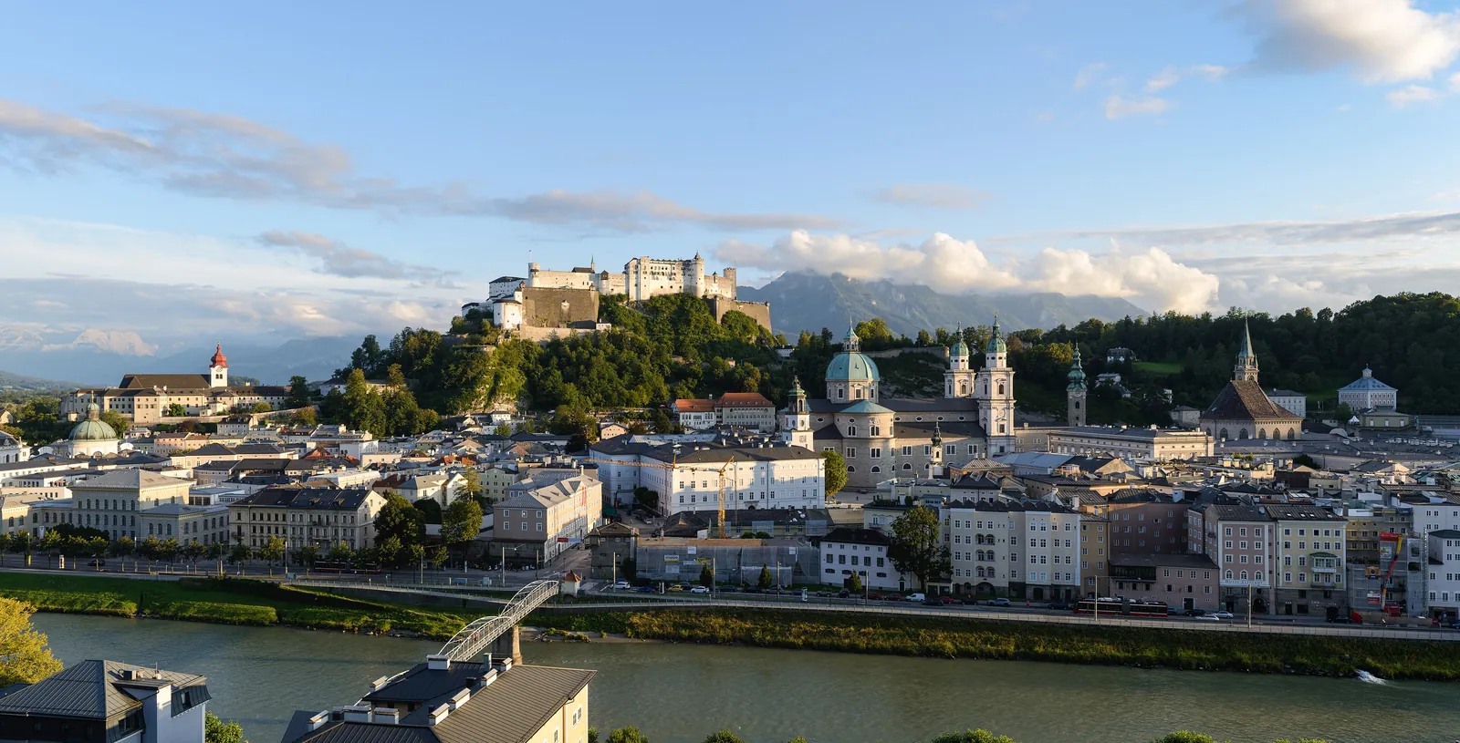 Salzburg Old Town & Fortress
Photo: Uoaei1, CC BY-SA 4.0 / Wikimedia Commons
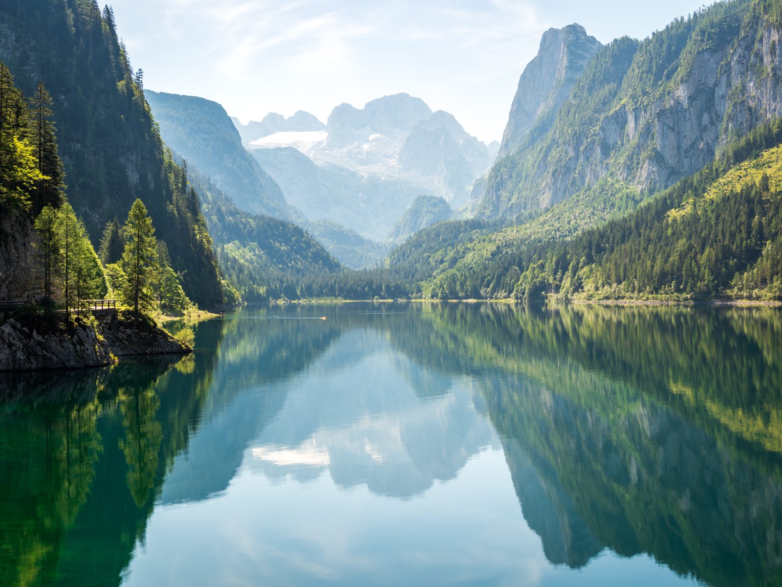 Gosausee: Lake Loop with the Dachstein View
Photo: Dimitry Anikin, CC0 / Wikimedia Commons
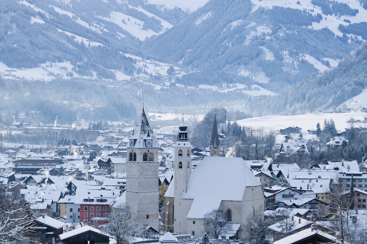 Kitzbühel Ski Area
Sources (14) · last checked October 2026
Route data checked: October 2026
- Bayerische Schlösserverwaltung — history
- Nationalpark Berchtesgaden — history
- Bayerische Seenschifffahrt GmbH (seenschifffahrt.de) — access, season and opening, history
- Bergerlebnis Berchtesgaden (berchtesgaden.de) — access, rules, season and opening
- Obersee from the Salet landing — route, distance, elevation, time, difficulty, access, season and opening
- Watzmannhaus from Wimbachbrücke — route, distance, elevation, time, difficulty, access, rules, season and opening
- Alpenverein München & Oberland — season and opening
- Kehlsteinhaus (kehlsteinhaus.de) — season and opening, history
- Salzbergwerk Berchtesgaden — access, history
- Alpenverein München & Oberland (Sektion München) — season and opening
- Ramsau bei Berchtesgaden tourist board (ramsau.de) — access, season and opening
- Polizeipräsidium Oberbayern Süd (polizei.bayern.de) — season and opening, history
- Deutscher Alpenverein (alpenverein.de) — emergency numbers
- Bundesamt für Bevölkerungsschutz und Katastrophenhilfe (bbk.bund.de) — emergency numbers
- OpenStreetMap — access
- BRouter (OpenStreetMap) — track