Hiking route
Watzmannhaus from Wimbachbrücke
Berchtesgaden · Bavaria · Germany
Challenging
Rated by Bergerlebnis Berchtesgaden
Wimbachbrücke or by car: Wimbachbrücke (car park and bus stop)
- Distance
- 13.9km
- Duration
- 4:30h
- Ascent
- 1,276m
- Descent
- 1,276m
Loading map…
Status today
- Watzmannhaus closed; reopening date not yet published
- Season: June – September · out of season
Elevation profile
↑ 1,276 m · ↓ 1,276 m
1
solid: there · dashed: back the same wayAlong the route
- 1
Watzmannhaus
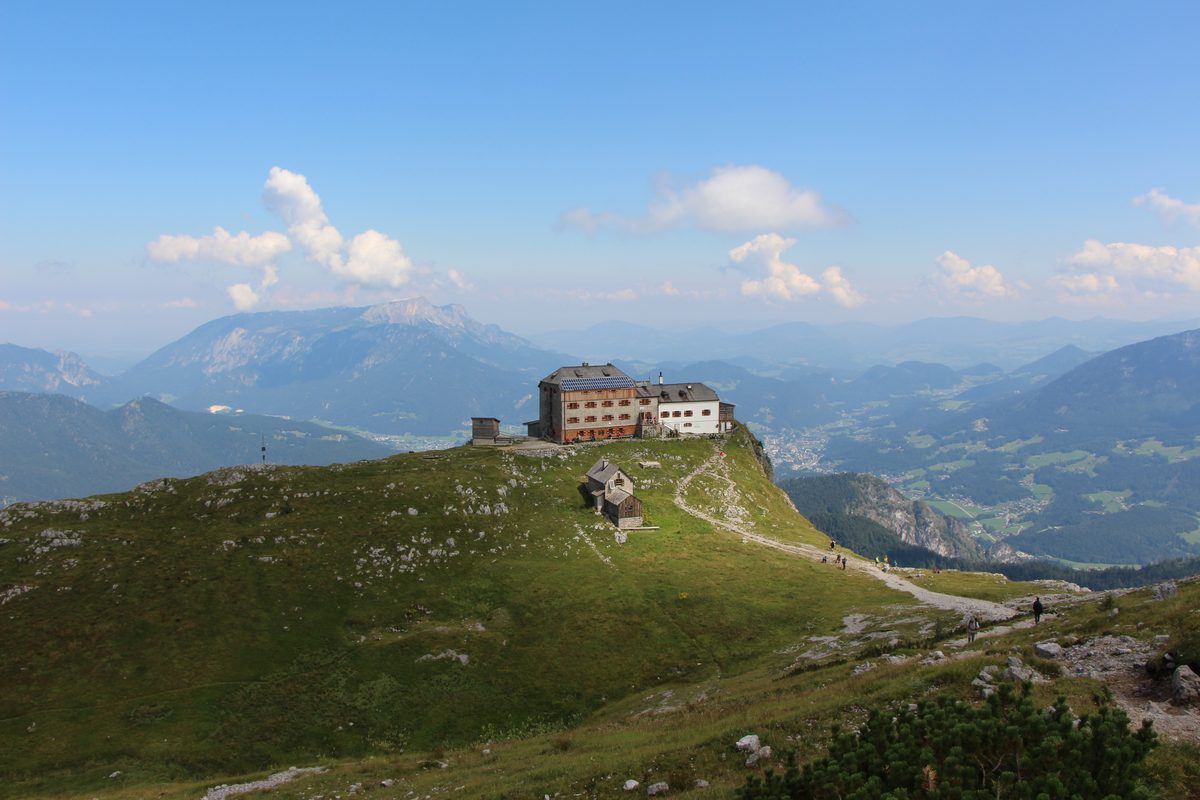
Photo: Gernerillo, CC BY-SA 4.0 / Wikimedia Commons
About the route
Out and back from the Wimbachbrücke in Ramsau via the Stubenalm and the Mitterkaseralm, across the Falzalm to the Watzmannhaus on the Falzköpfl. Beyond the Mitterkaseralm a narrow path that calls for care; the final section is rocky, secured, with steps cut into the rock.
More routes in Berchtesgaden
Nearby
 Salzburg Old Town & Fortress
Photo: Uoaei1, CC BY-SA 4.0 / Wikimedia Commons
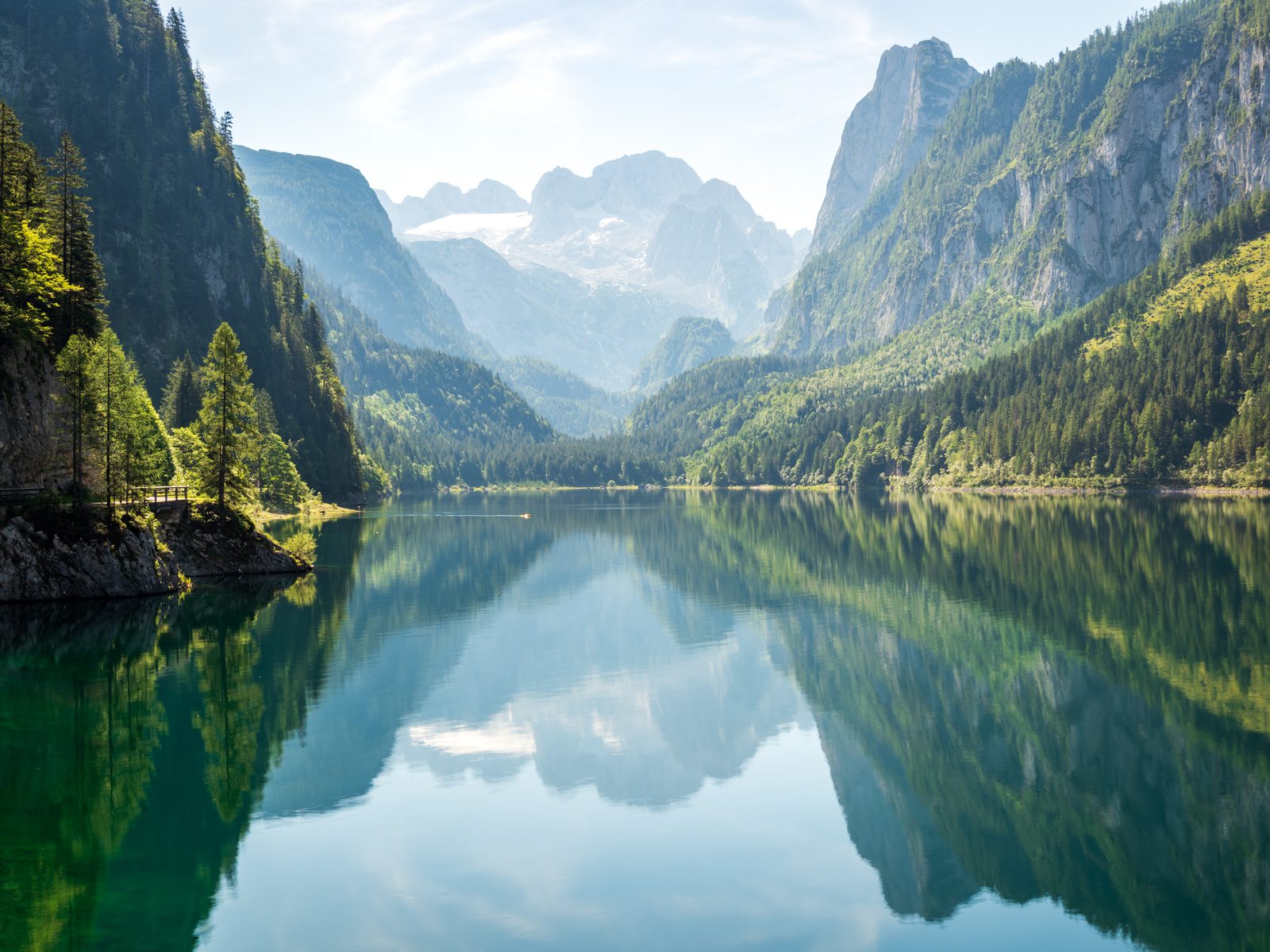 Gosausee: Lake Loop with the Dachstein View
Photo: Dimitry Anikin, CC0 / Wikimedia Commons
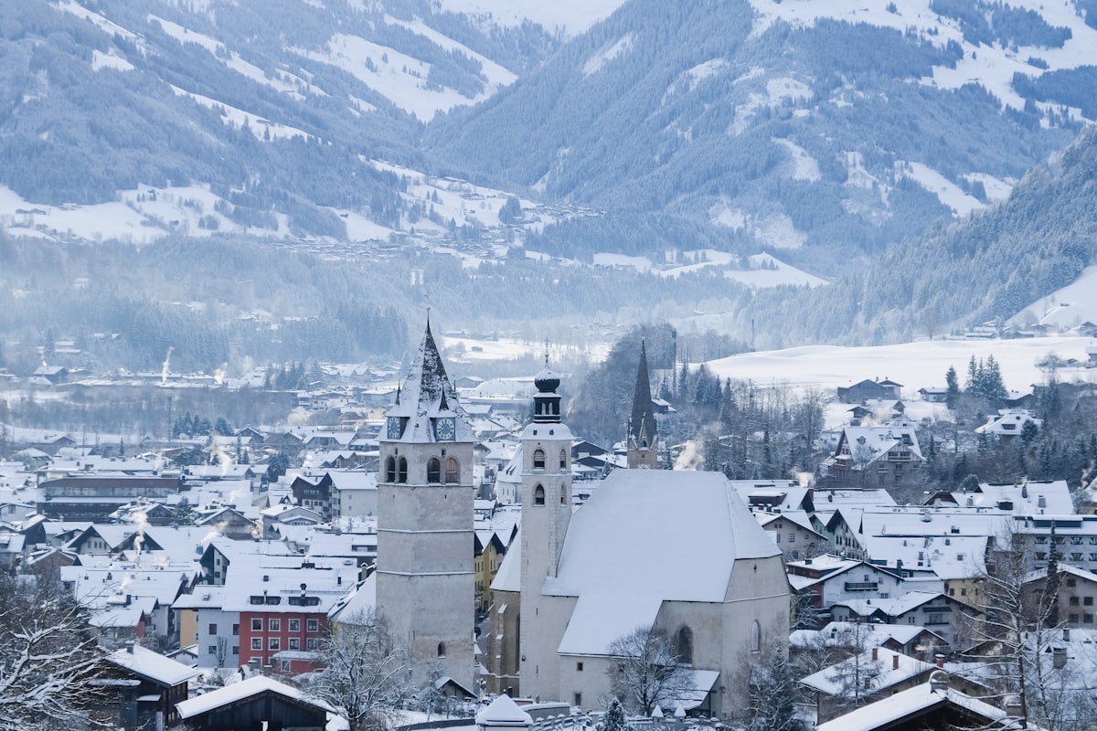 Kitzbühel Ski Area
Sources (14) · last checked October 2026
Route data checked: October 2026
- Bayerische Schlösserverwaltung — history
- Nationalpark Berchtesgaden — history
- Bayerische Seenschifffahrt GmbH (seenschifffahrt.de) — access, season and opening, history
- Bergerlebnis Berchtesgaden (berchtesgaden.de) — access, rules, season and opening
- Obersee from the Salet landing — route, distance, elevation, time, difficulty, access, season and opening
- Watzmannhaus from Wimbachbrücke — route, distance, elevation, time, difficulty, access, rules, season and opening
- Alpenverein München & Oberland — season and opening
- Kehlsteinhaus (kehlsteinhaus.de) — season and opening, history
- Salzbergwerk Berchtesgaden — access, history
- Alpenverein München & Oberland (Sektion München) — season and opening
- Ramsau bei Berchtesgaden tourist board (ramsau.de) — access, season and opening
- Polizeipräsidium Oberbayern Süd (polizei.bayern.de) — season and opening, history
- Deutscher Alpenverein (alpenverein.de) — emergency numbers
- Bundesamt für Bevölkerungsschutz und Katastrophenhilfe (bbk.bund.de) — emergency numbers
- OpenStreetMap — access
- BRouter (OpenStreetMap) — track