Hiking route
Mala Osojnica and Ojstrica
Bled · Gorenjska · Slovenia
Moderate
Rated by Turizem Bled
Bled Jezero or by car: Parking lot Velika Zaka
- Distance
- 2.4km
- Duration
- 1:00h
- Ascent
- 246m
- Descent
- 246m
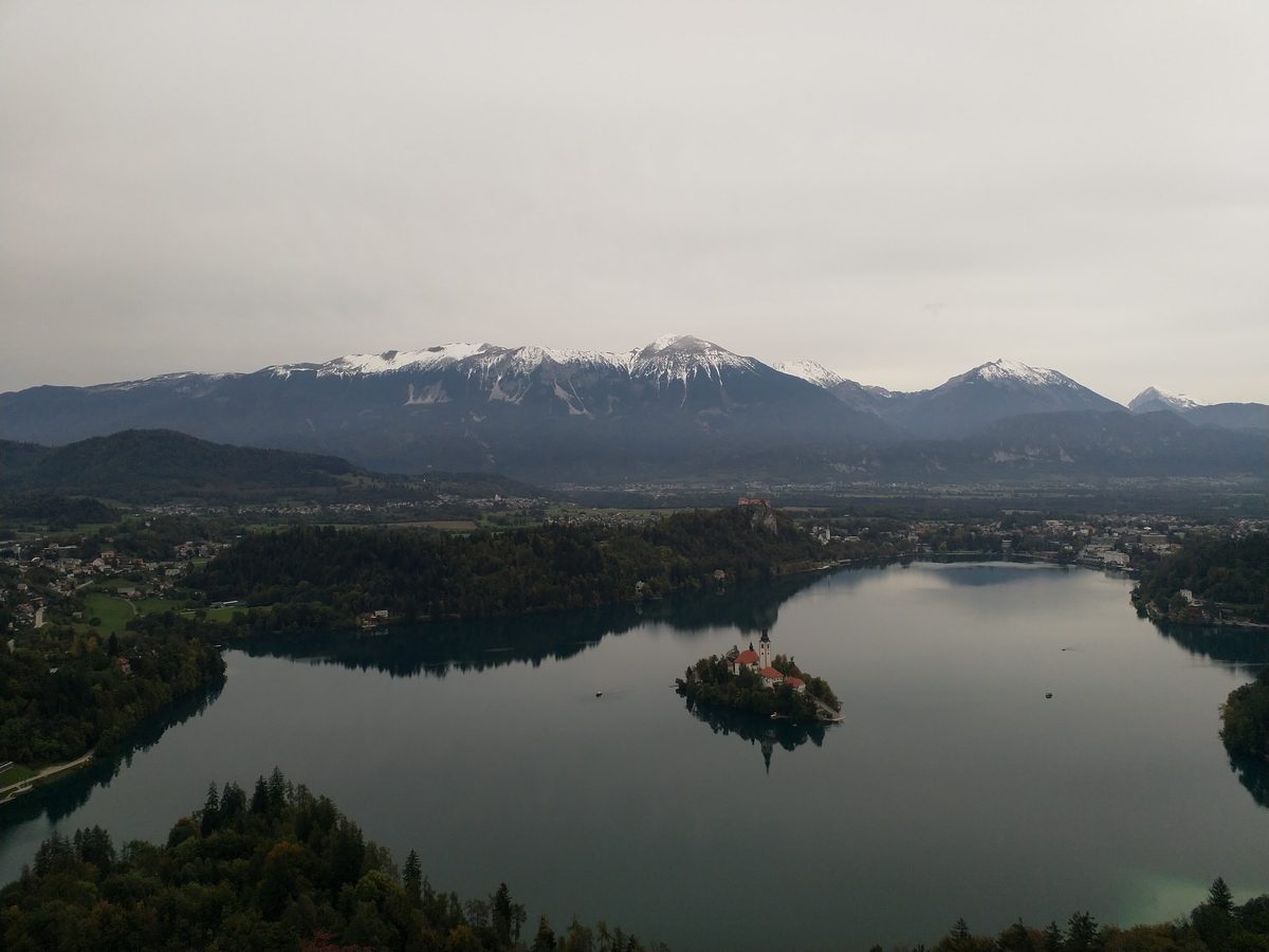
Photo: domjisch from Graz, Austria, CC BY 2.0 / Wikimedia Commons
Status today
- No closures on record.Official route page ↗
Map and elevation profile
Loading map…
↑ 246 m · ↓ 246 m
1
Along the route
- 1
Mala Osojnica
About the route
From Velika Zaka on the west shore, a steep forest path climbs to Mala Osojnica. Built-in steel stairs cover the steepest part, with iron and some less reliable wooden handrails. The viewpoint is fenced and has a bench. The path crosses the small plateau to the saddle below Velika Osojnica and descends towards Zaka. A short, steep and rocky spur leads up Ojstrica (611 m); back down the same way and on to Velika Zaka. No hut on the way: bring water.
Nearby
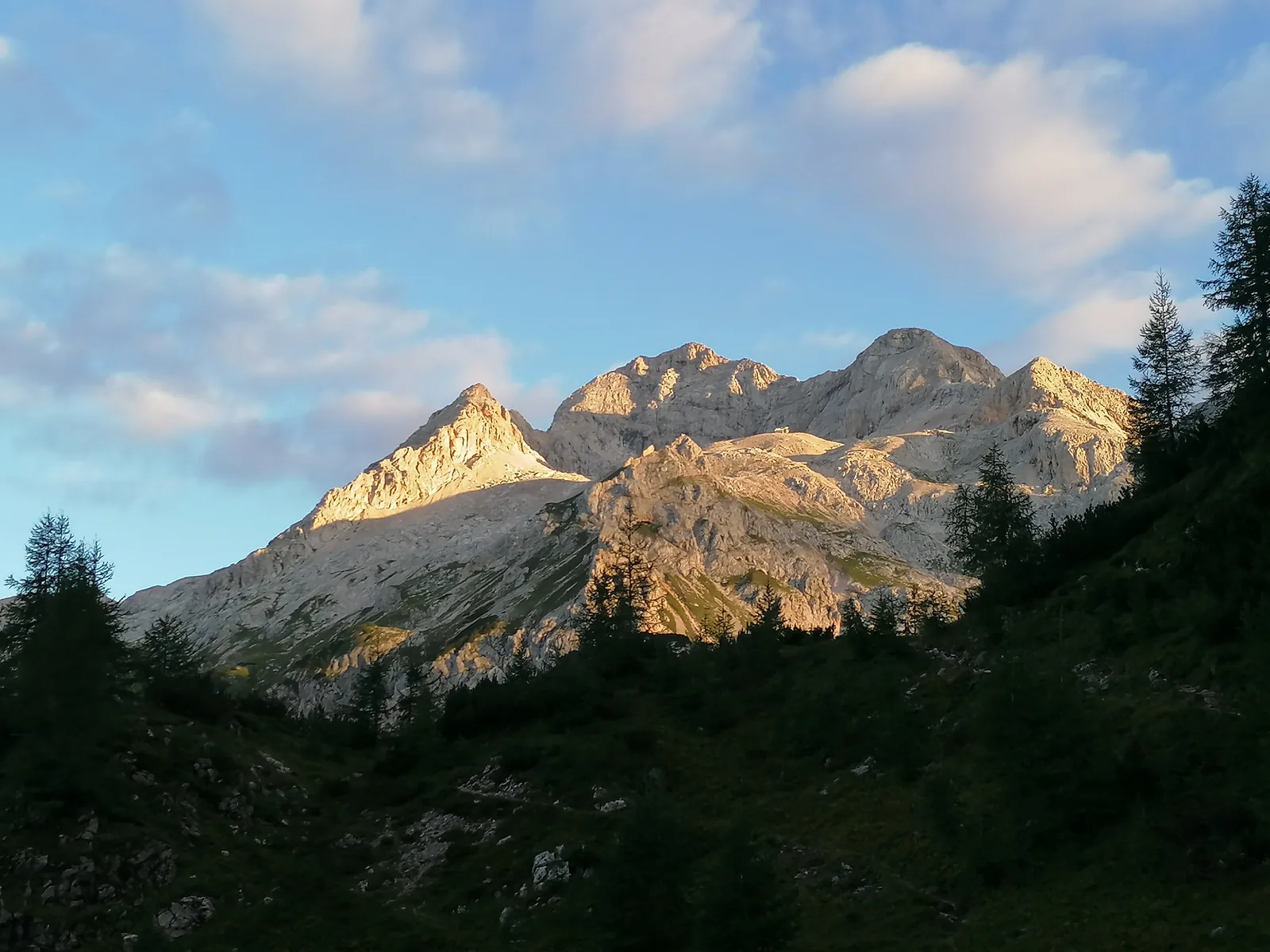 Bohinj
Photo: Vwulz, CC BY-SA 4.0 / Wikimedia Commons
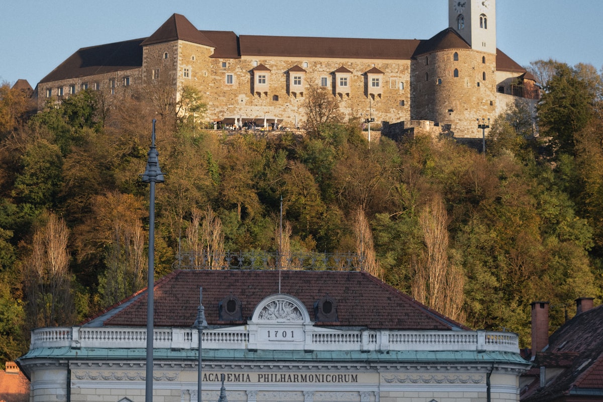 Ljubljana: Old Town, Castle & Central Market
Photo: Enrico Razzaboni / Unsplash
Sources (10) · last checked October 2026
Route data checked: October 2026
- Slovenian Tourist Board (slovenia.info) — history
- Bled Castle (blejski-grad.si) — history
- Turistično društvo Gorje (vintgar.si) — access, season and opening
- Turizem Bled (bled.si) — route, time, access, rules, season and opening
- LPP (Ljubljanski potniški promet) — access
- Statistical Office of the Republic of Slovenia (stat.si)
- Deutscher Alpenverein (alpenverein.de) — emergency numbers
- GOV.SI — emergency numbers
- Turizem Bled (julian-alps.com) — route, distance, elevation, time, difficulty, access, rules
- BRouter (OpenStreetMap) — track