Hiking route
St. Oswald promenade
Bolzano · South Tyrol · Italy
Bolzano, Ponte S. Antonio or by car: Car park Maretsch (P7)
- Duration
- 1:00h
Loading map…
Status today
- No closures on record.Official route page ↗
Elevation profile
About the route
From the St.-Anton-Brücke along the Hörtenberg to the St. Magdalena hill, opened in 1908, with views over the Bolzano basin and the Dolomites; at a junction a path leads down to the St. Oswald district near the old town.
More routes in Bolzano
Nearby
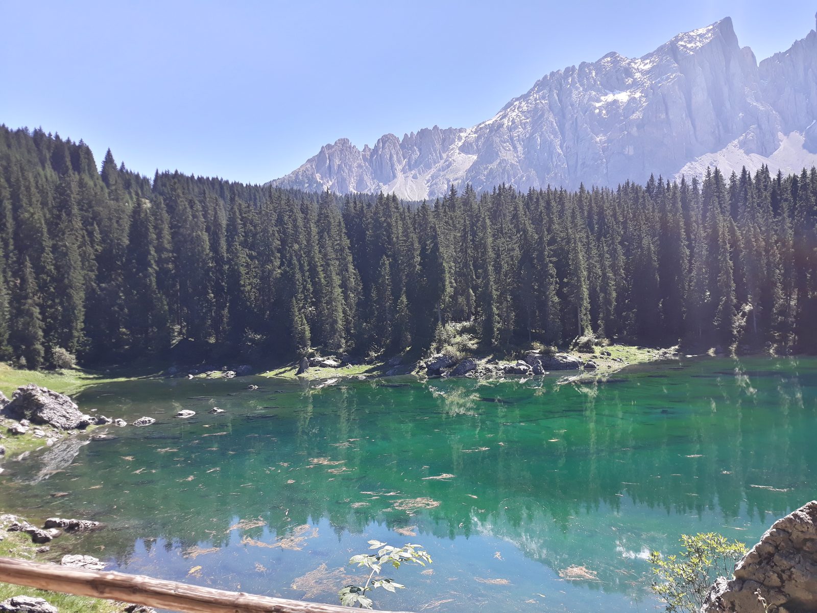 Lago di Carezza
Photo: Adert, CC BY-SA 4.0 / Wikimedia Commons
 Alpe di Siusi
Photo: Tomáš Malík / Unsplash
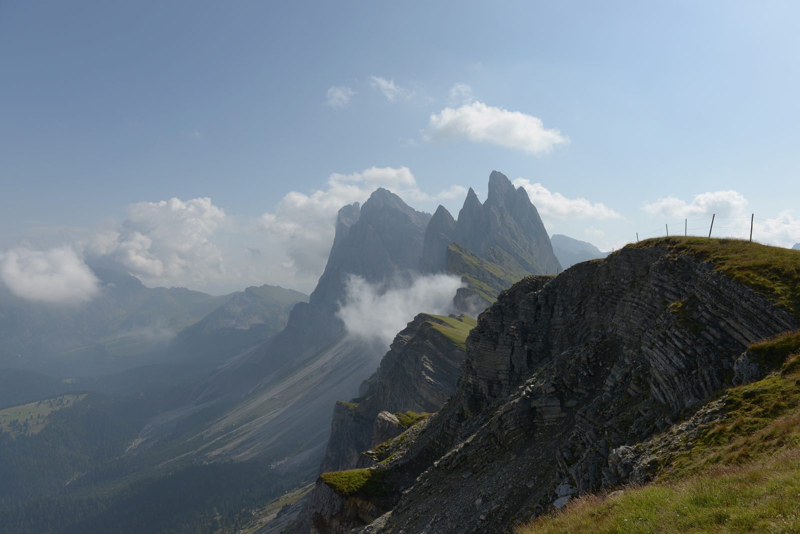 Val Gardena: Seceda
Photo: Wolfgang Moroder, CC BY-SA 3.0 / Wikimedia Commons
Sources (11) · last checked October 2026
Route data checked: October 2026
- IDM Südtirol (suedtirol.info) — access, season and opening
- südtirolmobil — prices
- South Tyrol Museum of Archaeology (iceman.it) — access, season and opening, history
- Verkehrsamt der Stadt Bozen (bolzano-bozen.it) — route, time, season and opening, history
- Deutscher Alpenverein (alpenverein.de) — emergency numbers
- Ministero della Salute — emergency numbers
- Comune di Bolzano — access
- Tourismusgenossenschaft Ritten (ritten.com) — route, distance, elevation, time, difficulty, access, season and opening
- Bolzano Bozen tourism (bolzano-bozen.it) — access
- OpenStreetMap — access
- BRouter (OpenStreetMap) — track