Hiking route
Drei Schwestern traverse: Gaflei – Planken
Alp Gaflei · Triesenberg · Liechtenstein
Challenging
Gaflei, Klinik or by car: Gaflei Trailhead (Alp Gaflei)
- Distance
- 11.9km
- Duration
- 5:30h
- Ascent
- 819m
- Descent
- 1,540m
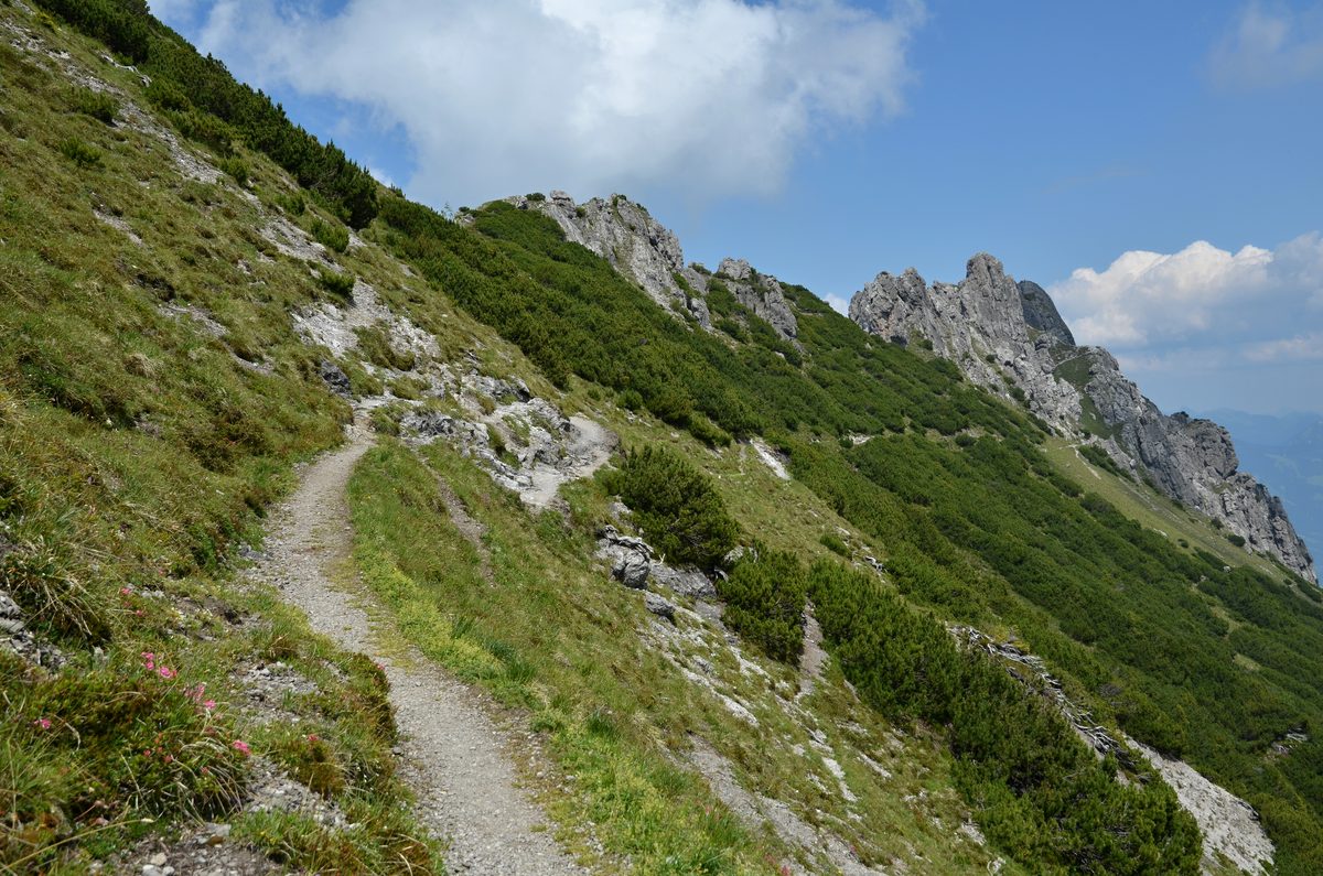
Photo: Pavel Špindler, CC BY 3.0 / Wikimedia Commons
Status today
- Gafadurahütte closed; reopening date not yet published
- Season: June – October · out of season
Map and elevation profile
Loading map…
↑ 819 m · ↓ 1,540 m
12345
Along the route
- 1
Gaflei-Stuba
- 2
Kuegrat
- 3
Drei Schwestern
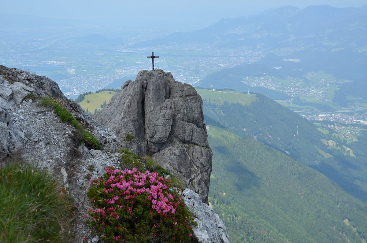
Photo: Pavel Špindler, CC BY 3.0 / Wikimedia Commons
- 4
Gafadurahütte
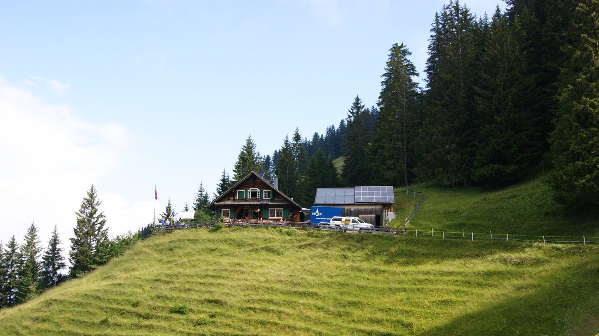
Photo: Asurnipal, CC BY-SA 4.0 / Wikimedia Commons
- 5
Planken, Abzw. Egerta (bus stop)
About the route
One way from Gaflei along the Fürstensteig to the Gafleisattel, over the Kuegrat, the Garsellikopf and the Drei Schwestern, then down via the Sarojasattel and the Gafadurahütte to Planken. Secured rocky paths and exposed ridge sections; surefootedness and a head for heights required.
More routes in Gaflei
Nearby
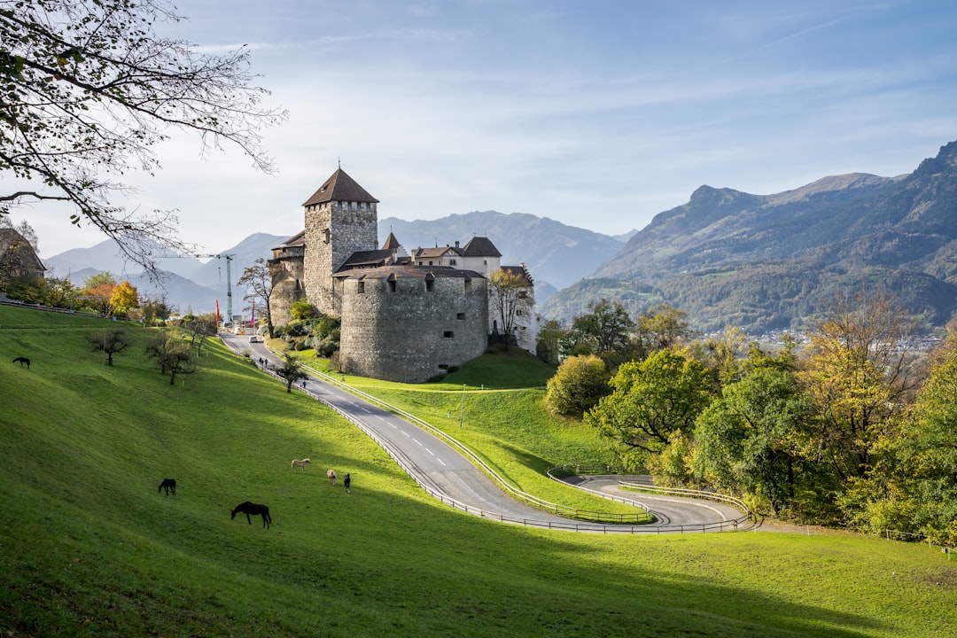 Vaduz City Guide
Photo: Leonhard Niederwimmer / Unsplash
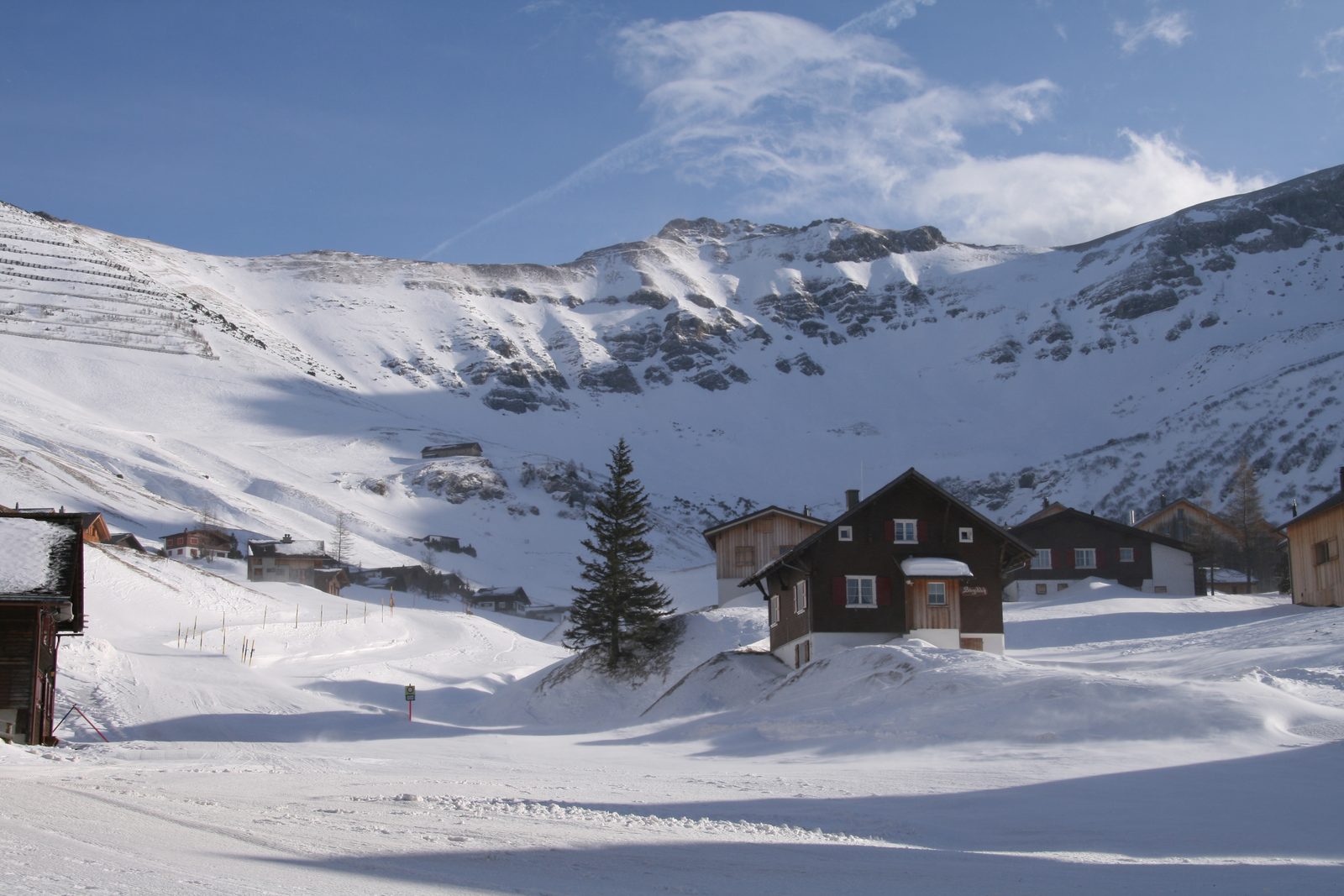 Malbun Ski Area
Photo: böhringer friedrich, CC BY-SA 2.5 / Wikimedia Commons
 Malbun
Sources (10) · last checked October 2026
Route data checked: October 2026
- Liechtenstein Tourismus (tourismus.li) — route, distance, elevation, time, difficulty, access, rules, season and opening
- Fürstensteig Loop from Gaflei — route, distance, elevation, time, difficulty, access, rules, season and opening
- Drei Schwestern traverse: Gaflei – Planken — route, distance, elevation, time, difficulty, access, rules, season and opening
- Liechtensteiner Alpenverein — access, season and opening
- Swiss public transport timetable (transport.opendata.ch, incl. LIEmobil) — access
- swisstopo — difficulty, access
- Switzerland Tourism (myswitzerland.com) — season and opening
- Bergrettung Liechtenstein — emergency numbers
- Deutscher Alpenverein (alpenverein.de) — emergency numbers
- Landespolizei Liechtenstein — emergency numbers
- OpenStreetMap — access
- BRouter (OpenStreetMap) — track