Photo: böhringer friedrich, CC BY-SA 2.5 / Wikimedia Commons
Malbun Ski Area
Malbun · LiechtensteinWinter season 19 December 2026 – 4 April 2027Winter season 19 Dec – 4 AprMore
Ski season 2026/27: 19 December 2026 to 4 April 2027. The lifts stop in strong wind or very bad weather.
Food & drink: Schneeflucht Ski season onlySchneeflucht1 in the ski area
Overview
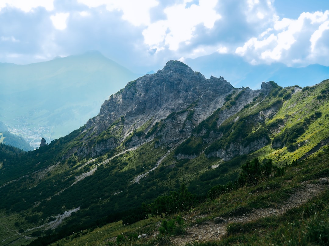
Malbun sits at the end of the road up from Vaduz, about 30 minutes on bus 21. Three chairlifts and one ski lift serve 23 km (14 mi) of pistes up to 2,000 m (6,560 ft). Liechtenstein Marketing calls the area family-friendly; the free malbi-park in the village has a snow carousel, a magic carpet and a pony lift for first turns.
Read more
The 2026/27 season runs from 19 December 2026 to 4 April 2027. The Schneesportschule Malbun teaches every age and level. Restaurant Schneeflucht, at the Schneeflucht lift, opens in the ski season only.
Without skis, the groomed Sassweg (SchweizMobil winter route 101) loops 5 km (3.1 mi) from the Friedenskapelle up to the Sassförkle at 1,786 m. For sledging, the Täli and Sareis chairlifts take sledgers up between 16:00 and 16:15; the way down is the piste. Two short free runs come down into the village. In Steg, a few minutes' drive down the valley, there are 12.2 km of cross-country trails and a lit night trail.
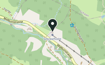
Restaurant Schneeflucht at the Schneeflucht lift, open in the ski season only.
Map & profile
Sassweg
SchweizMobil winter hiking route 101: from the Friedenskapelle in Malbun gently up through light forest to the Sassförkle (1,786 m), down over Alp Sass to the Schneeflucht lift and back to the centre. Groomed loop.
In winter
- malbi-park & ski schoolSnow carousel, magic carpet and pony lift for the youngest, free; Schneesportschule Malbun for every age and levelCourses & times at the operator ↗
- SasswegSchweizMobil winter hiking route 101, groomed loopCurrent times & operation at the operator ↗
- Täli and SareisUp by chairlift daily 16:00–16:15 (lift timetable), down on the pistes; ticket requiredCurrent times & operation at the operator ↗
- Hinterstrich – Malbun (Turna – Malbun)About 1 km, easy, freeCurrent times & operation at the operator ↗
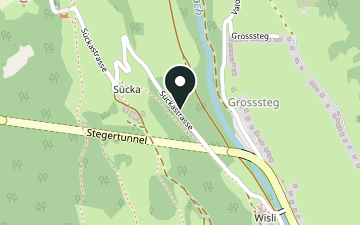
- Steg: Sücka – car parks1 km groomed natural sledge run; up on a winter walkCurrent times & operation at the operator ↗
- Steg/ValünaDecember to mid-March12.2 km loop, classic and skating; 3.2 km night trail, lit in the eveningCurrent times & operation at the operator ↗
- Ice rink at the village entranceDaily in the winter seasonSkate rental on siteCurrent times & operation at the operator ↗
- Ski season onlyAt the Schneeflucht ski lift; home-style regional cooking and a sun terrace.
Plan your hike
Getting there
- There
- Malbun, Jöraboda
Bus 21 · timetable not available right now
- Parking
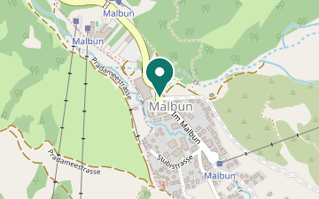
- Malbun car parks (village entrance)≈ 300 m to Hochegg and Täli valley stations (straight line)Main car park by the Malbun, Jöraboda bus stop.
- Lifts
- First lift 8:30 · last uphill 16:15Hochegg first, Täli, Sareis last · lift timetable, not an opening time · Bergbahnen Malbun AG
- Ski pass
- Day and multi-day, morning and afternoon, hourly, season and family passesPrices at the operator ↗
Getting there in detail
Bus 21 from Vaduz, Post to Malbun, about 30 minutes. By car: the car parks at the village entrance, by the Malbun, Jöraboda stop.
Latest start = the earlier of last bus or sunset, minus route time and 30 minutes. Sunset is calculated for the trailhead; in shaded terrain it gets dark earlier.
Live data: Swiss Transport API
Nearby
Sources (7) · last checked October 2026
Route data checked: October 2026
- Bergbahnen Malbun AG (bergbahnen.li) — access, rules, season and opening
- Liechtenstein Tourismus (tourismus.li) — access, season and opening
- Verein Valünalopp (valuenalopp.li) — access, season and opening
- WSL-Institut für Schnee- und Lawinenforschung SLF — access
- Swiss public transport timetable (transport.opendata.ch, incl. LIEmobil) — access
- SchweizMobil — route, track, distance, elevation, time
- OpenStreetMap — access