Hiking route
Goetheweg: Hafelekar – Pfeishütte and back
Innsbruck · Tyrol · Austria
Challenging
Rated by Tirol Werbung
Nordkettenbahn Talstation Innsbruck, Congress (Hungerburgbahn) or by car: Congress Parkgarage
- Distance
- 10.4km
- Duration
- 5:00h
- Ascent
- 769m
- Descent
- 764m
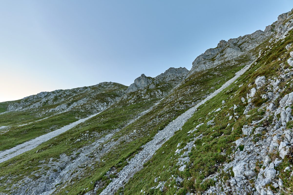
Photo: Leonhard Lenz, CC0 / Wikimedia Commons
Status today
- Innsbrucker Nordkettenbahnen Betriebs GmbH closed for maintenance until 19 Nov
- Season: June – October · out of season
Map and elevation profile
Along the route
- 1
Restaurant Top of Innsbruck
- 2
Hafelekarspitze (2,334 m)
- 3
Pfeishütte
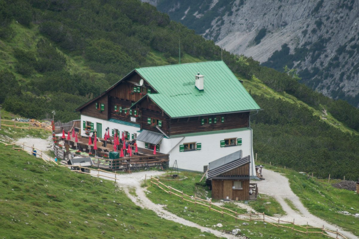
Photo: HerrAdams, CC BY-SA 4.0 / Wikimedia Commons
About the route
From the Hafelekar mountain station along the ridge over the Mühlkarscharte and the Mandlscharte to the Pfeishütte (1,922 m), and back the same way. Tirol Werbung grades it difficult: an alpine mountain path for experienced mountain walkers. Two to two and a half hours to the hut, four and a half to five hours there and back.
Nearby
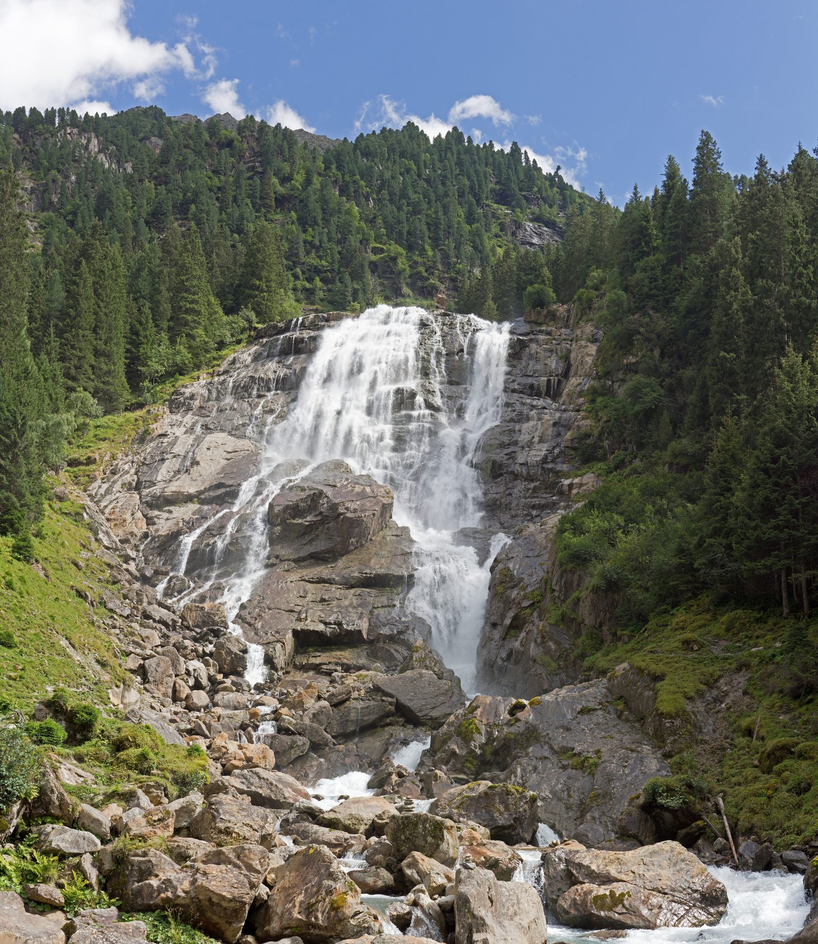 Stubai Valley
Photo: Jörg Braukmann, CC BY-SA 4.0 / Wikimedia Commons
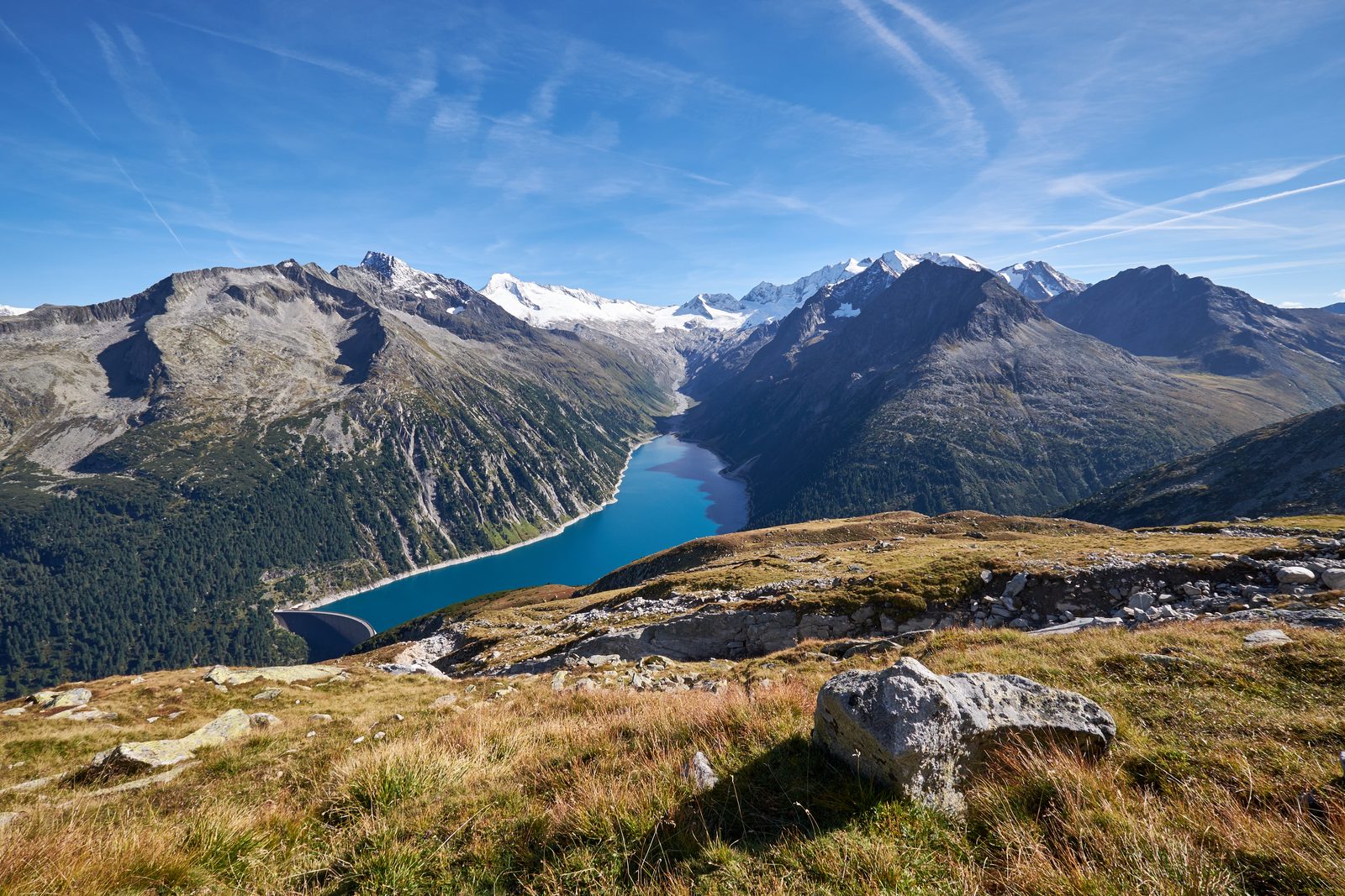 Zillertal: Schlegeis Reservoir & Olpererhütte
Photo: Hildefonz, CC BY-SA 4.0 / Wikimedia Commons
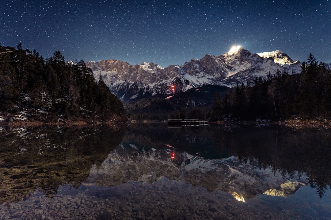 Zugspitz Region
Photo: David Becker / Unsplash
Sources (6) · last checked October 2026
Route data checked: October 2026
- Innsbrucker Nordkettenbahnen — route, access, rules, season and opening, history
- Goetheweg: Hafelekar – Pfeishütte and back — route, season and opening
- Hafelekar winter trail — route, rules, season and opening
- Tirol Werbung — route, distance, elevation, time, difficulty
- Goetheweg: Hafelekar – Pfeishütte and back — route, distance, elevation, time, difficulty
- Hafelekar winter trail — route, distance, elevation, time, difficulty
- Deutscher Alpenverein (alpenverein.de) — emergency numbers
- oesterreich.gv.at — emergency numbers
- Tirol Werbung (tirol.at), source Innsbruck Tourismus — route, distance, elevation, time, difficulty
- BRouter (OpenStreetMap) — track