Photo: Hildefonz, CC BY-SA 4.0 / Wikimedia Commons
Zillertal: Schlegeis Reservoir & Olpererhütte
Ginzling, Zillertal, Tyrol · AustriaJune – OctoberSeasonMore
Food & drink: Olpererhütte Staffed in summerOlpererhütte1 on the way
Overview
The Schlegeis reservoir lies at 1,782 m at the head of the Zillertal, in the Zillertal Alps high mountain nature park; a toll road from Ginzling leads up to it, past the 131 m dam. Above its west shore stands the Olpererhütte of the German Alpine Club's Neumarkt section, at 2,389 m. Facing south, it looks over the reservoir to the glaciers at the end of the valley; a few minutes beyond it a small suspension bridge, only about 20 m long, has become one of the best-known photo spots in Tyrol.
Read more
This guide takes two routes from the car park at the reservoir. The direct path 502 climbs through forest and dwarf pine to the hut in about one and a half hours, steadily but nowhere exposed; back the same way. The loop continues past the hut over a spur of the Riepengrat into the Unterschrammachkar and returns on the Neumarkter Runde, a panoramic path above the lake.
Both routes are rated moderate. The direct path is steady but not exposed; the loop adds stony passages and a small bridge over a stream. Sturdy hiking boots with a good tread.
Olpererhütte on both routes, staffed in summer. It expects to open again on 27 May 2027. At the car park the Jausenstation Zamsgatterl (June to September).
Map & profile
Olpererhütte on path 502
From car park P2 at the reservoir, path 502 climbs in zigzags through forest and along the Riepenbach past dwarf pines; above the tree line it crosses the stream and climbs grassy slopes to the hut. About one and a half hours up, steady and not exposed. Back the same way. The bus stops at the dam, about 800 m from car park P2.
Olpererhütte & Neumarkter Runde
Up path 502 to the Olpererhütte, then on south to a spur of the Riepengrat with a large cairn and gently down into the Unterschrammachkar. At the fork, path 535 leads down along the Unterschrammachbach, over a small bridge and through dwarf pine back to the car park. Can also be walked the other way round. The bus stops at the dam, about 800 m from car park P2.
Places on the way
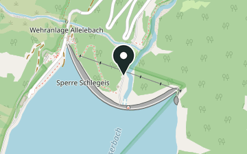
- The 131 m high arch dam of the reservoir; guided tours inside in season.
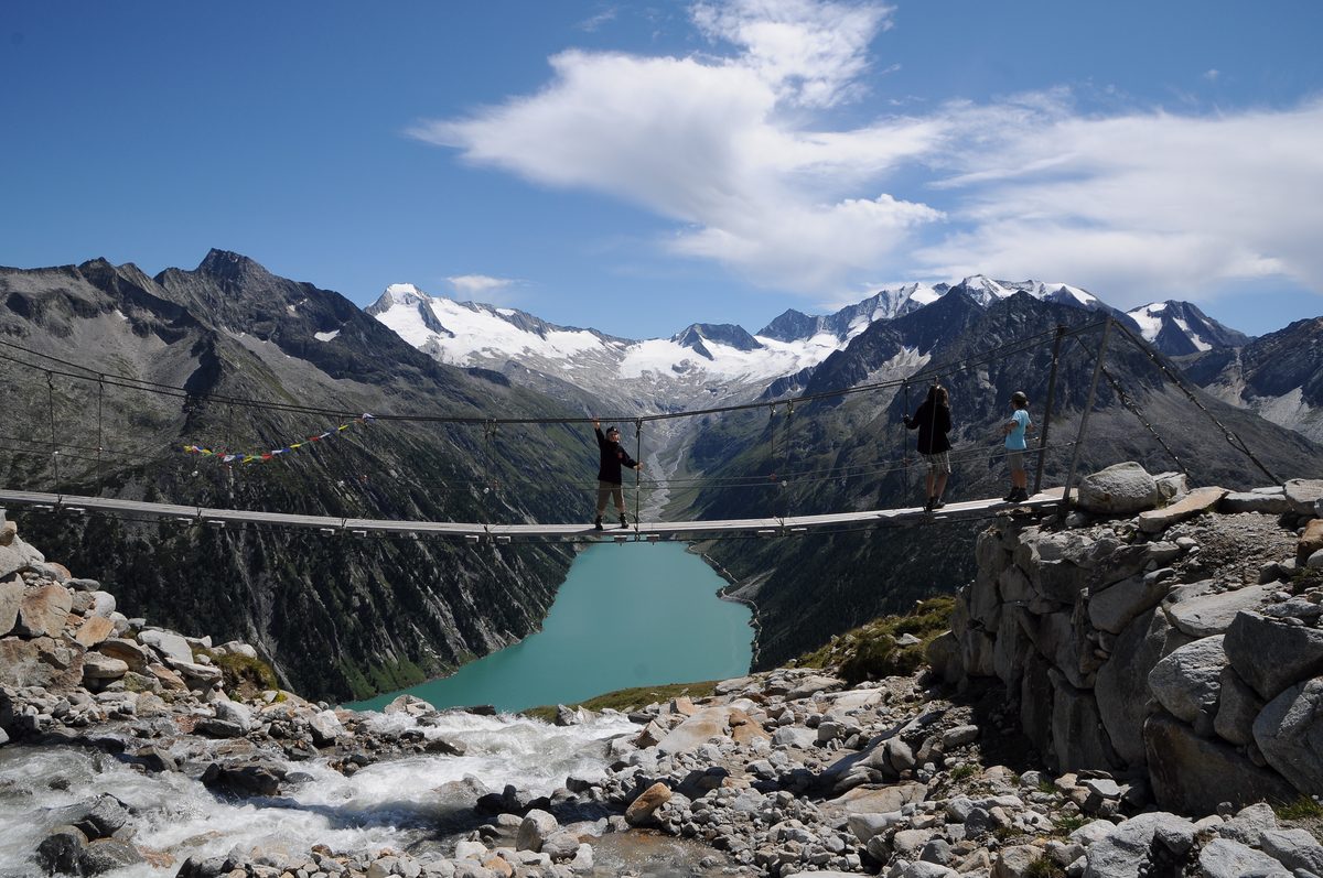
- Small suspension bridge, about 20 m long, with a view down the reservoir; a few minutes beyond the hut.
- June to SeptemberSnack restaurant at the south end of the car parks.
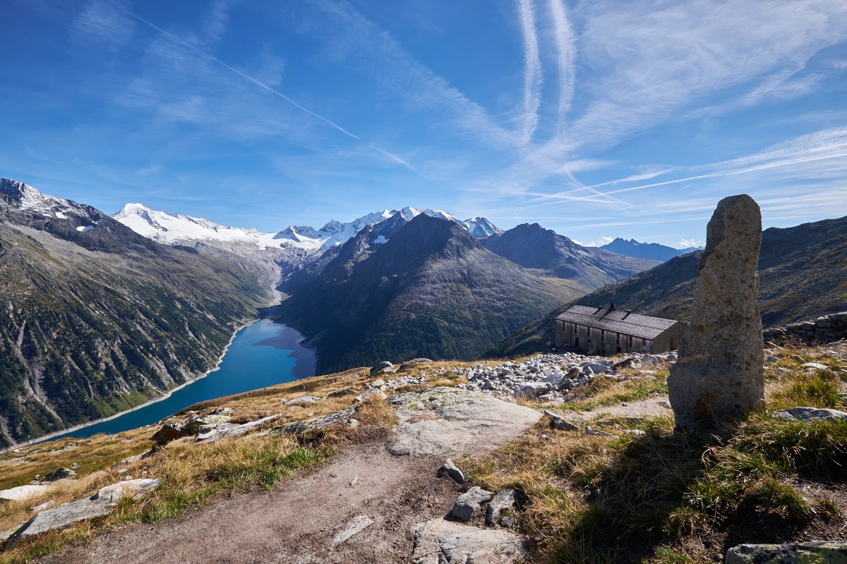
- Staffed in summer · 2027: expected from 27 May.German Alpine Club hut (Neumarkt section) above the reservoir; winter room with 12 places, unheated.
Plan your hike
Getting there
- Bus
- Schlegeis Stausee
Bus 4102 Summer only (30 May – 4 Oct) · currently ends in Ginzling (Naturparkhaus)Timetable by Mayrhofen-Hippach - Start
- Start by ≈ 14:43 at the latestlimited by daylight · walking time 3:00 h + 30 min buffer
- Road
- Schlegeis AlpenstraßeCheck the closing time of the toll roadOpening times and status: VERBUND
- Car
- Car park P2 Schlegeis≈ 50 m to the start (straight line)Car park at the start of path 502; parking is included in the toll-road day ticket.
Getting there in detail
By car from Mayrhofen to Ginzling, then on the Schlegeis Alpenstraße, a toll road (VERBUND): it is traffic-light controlled, with waits of 15 to 30 minutes, and the toll booth takes cash only. The day ticket includes parking at the reservoir; the routes start at car park P2. 2026: open daily until 26 October, 7:00–17:00 from 13 October. The road opens from about mid-May to the end of October, depending on snow and avalanches. Bus 4102 runs from Mayrhofen station to the reservoir only in summer (VERBUND recommends it from June to September); outside the summer timetable it ends in Ginzling. Bus passengers aged 16 and over pay the road toll too.
Latest start = the earlier of last bus or sunset, minus route time and 30 minutes. Sunset is calculated for the trailhead; in shaded terrain it gets dark earlier.
Nearby
Sources (7) · last checked October 2026
Route data checked: October 2026
- VERBUND (Schlegeis Alpenstraße) — access, rules, season and opening
- Zillertal Tourismus (bus timetable) — access
- Olpererhütte (DAV Sektion Neumarkt) — route, time, difficulty, season and opening
- Tirol Werbung (tirol.at) — season and opening
- Olpererhütte on path 502 — route, distance, elevation, time, difficulty
- Olpererhütte & Neumarkter Runde — route, distance, elevation, time, difficulty
- Deutscher Alpenverein (alpenverein.de) — emergency numbers
- oesterreich.gv.at — emergency numbers
- BRouter (OpenStreetMap) — track