Photo: Jörg Braukmann, CC BY-SA 4.0 / Wikimedia Commons
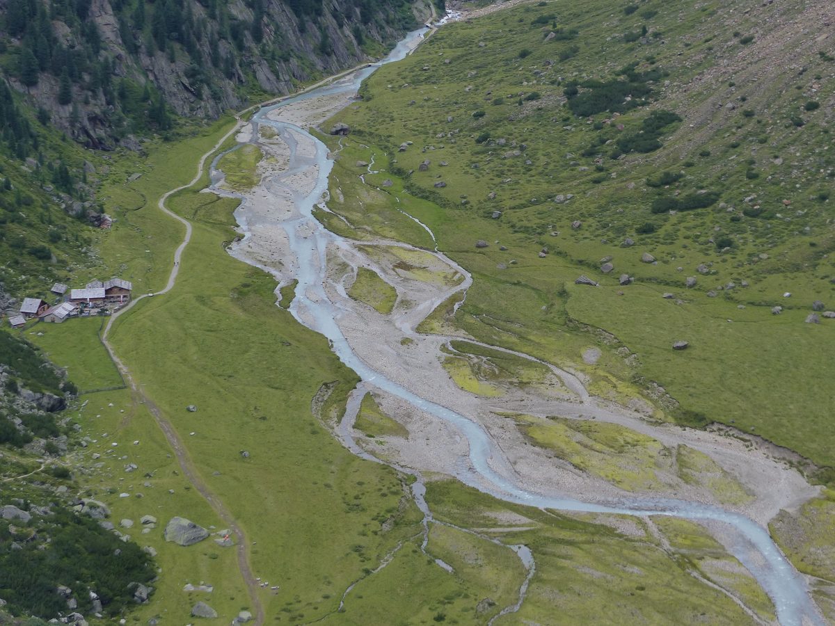
Stubai: WildeWasserWeg & Grawa Waterfall
Neustift im Stubaital, Tyrol · AustriaSure-footedness, good fitness and good shoes (wet ground)More
The tourist board names June to September as the best time for the WildeWasserWeg; the loop is listed for May to OctoberThe tourist board names June to September as the best time for the WildeWasserWegSeasonMore
Food & drink: Grawa Alm1 on the way
Overview
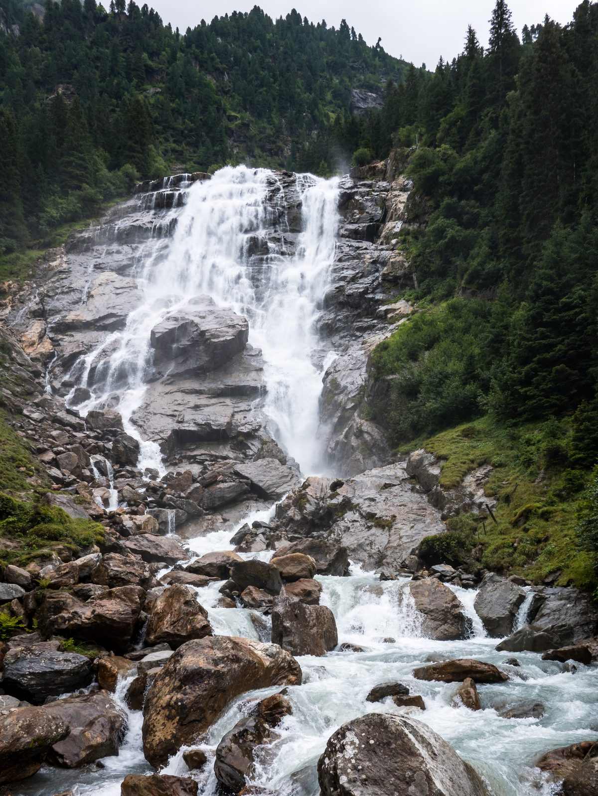
In the upper Stubai valley the WildeWasserWeg of the Stubai tourist board follows the Ruetz and its side streams in three stages, from the Ruetz-Katarakt at Ranalt up to the Sulzenauferner glacier. Its highlight is the Grawa waterfall, a natural monument: about 85 m wide, the widest waterfall in the Eastern Alps, with its water falling 180 m in all. In late autumn only a thin strip remains on its right side; at snowmelt in early summer the water spreads across the whole rock face.
Read more
This guide takes three parts of it. The short loop from Raffeine leads almost level to the waterfall and back past the Grawa Alm. Stage 1 starts at the Ruetz-Katarakt, where two platforms partly hang over the drop, and passes the Tschangelair Alm on its way to the waterfall; it is laid out for prams. Stage 2 climbs the old alpine path, direct and steep, past the Sulzenau Alm and the Sulzenaufall to the Sulzenauhütte.
Loop and stage 1 easy; stage 1 is laid out for prams and older walkers, and wheelchair users can manage it with help. Stage 2 moderate: the old alpine path is direct and steep, and the ground is often wet: sure-footedness, good fitness and good shoes needed.
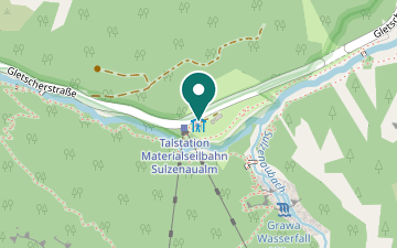
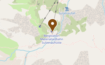
Grawa Alm by the waterfall, with the bus stop at the door (open all year; in the off-season a rest day is possible); Tschangelair Alm on stage 1; on stage 2 the Sulzenau Alm (in 2026 open only at weekends in August) and the Sulzenauhütte (2026 season 12 June – 27 September).
In winter the frozen Grawa waterfall is a beginners' ice-climbing spot (Stubai tourist board).
Map & profile
Grawa waterfall loop from Raffeine
From the Raffeine car park and bus stop the WildeWasserWeg leads almost level to the Grawa waterfall in about 20 minutes, on to the Grawa Alm, and shortly before the alm back on the other side of the stream.
WildeWasserWeg stage 1: Ruetz-Katarakt – Grawa waterfall
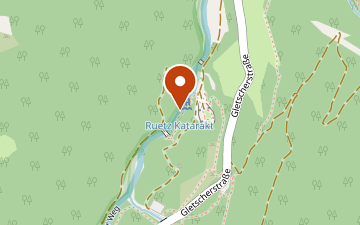
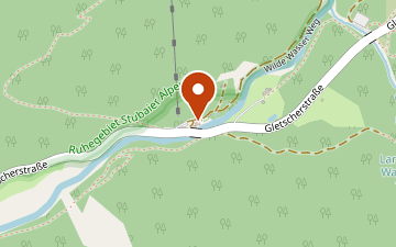
From the Ruetz-Katarakt, with two platforms partly over the drop and a wooden boardwalk, the path follows the Ruetz past the Tschangelair Alm to the Grawa waterfall and the Grawa Alm. The whole stage is laid out for prams and older walkers; wheelchair users can manage it with help. The start is about 250 m from the Nürnberger Hütte bus stop.
WildeWasserWeg stage 2: Grawa waterfall – Sulzenauhütte
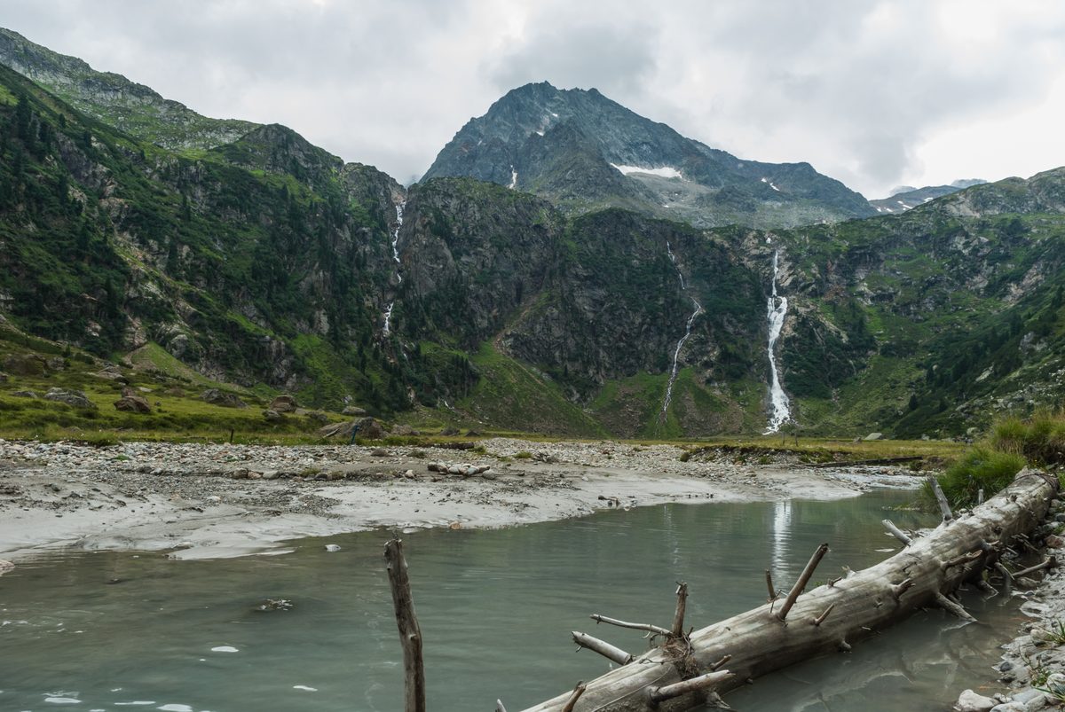
From the Grawa waterfall the old alpine path climbs direct and steep to the Sulzenau Alm, where the Sulzenaufall drops more than 200 m in a narrow line, and on to the Sulzenauhütte. Back the same way.
Places on the way
- About 85 m wide, the widest waterfall in the Eastern Alps and a natural monument; viewing platforms.
- Gorge of the Ruetz at Ranalt with two platforms partly over the drop and a wooden boardwalk.
- Falls more than 200 m in a narrow line onto the Sulzenau Alm basin.
- All year; rest day possible in the off-seasonAlm restaurant by the waterfall, with a bus stop at the door.
- 2026: weekends in August onlyAlm in the Sulzenau basin below the Sulzenaufall.
- Summer season · 2026: 12 June – 27 SeptemberAlpine club hut at the end of stage 2; winter room with 14 places, unheated.
- Alm on stage 1 of the WildeWasserWeg.
Plan your hike
Getting there
- Bus
- Raffeine
Bus 590 Timetable: TVB Stubai
- Car
- Raffeine car park≈ 50 m to the start (straight line)Free car park at the Raffeine bus stop, start of the waterfall loop.
Getting there in detail
Bus 590 runs from Innsbruck main station through the Stubai valley to the Stubaier Gletscher and stops at Nürnberger Hütte (for stage 1), Raffeine (for the loop) and Grawa Alm (end of stage 1, start of stage 2). From 24 October 2026 it runs every 15 minutes through the whole valley. The Stubai guest card covers the bus from Schönberg to Mutterberg all year. Free car parks at Raffeine and at the Sulzenauhütte stop; few spaces at the Grawa Alm.
Latest start = the earlier of last bus or sunset, minus route time and 30 minutes. Sunset is calculated for the trailhead; in shaded terrain it gets dark earlier.
Nearby
Sources (7) · last checked October 2026
Route data checked: October 2026
- Tirol Werbung (tirol.at) — route, distance, elevation, time, difficulty, access, season and opening
- TVB Stubai Tirol (stubai.at) — access
- Tirol Werbung (presse.tirol.at)
- Sulzenauhütte (sulzenauhuette.at) — season and opening
- Deutscher Alpenverein (alpenverein.de) — emergency numbers
- oesterreich.gv.at — emergency numbers
- BRouter (OpenStreetMap) — track