Hiking route
Harder Kulm loop
Interlaken · Bernese Oberland · Switzerland
Easy
Rated by Interlaken Tourismus
Harderbahn Harder Kulm or by car: Interlaken Ost station car park
- Distance
- 2.8km
- Duration
- 1:02h
- Ascent
- 154m
- Descent
- 154m
Loading map…
Status today
- No closures on record.Official route page ↗
Elevation profile
↑ 154 m · ↓ 154 m
12
Along the route
- 1
Harder Kulm top station
- 2
Panorama Restaurant Harder Kulm
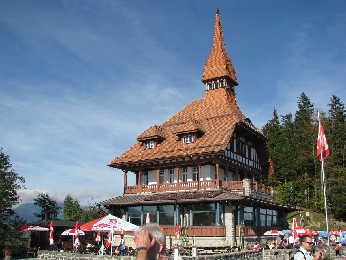
Photo: Manfred Wohlfahrt, Public domain / Wikimedia Commons
About the route
A wide panoramic path from the Harderbahn top station through shady mountain forest, up to the Hardergrat and back down on a narrow path through the Wanniwald and the Elfenweg to Harder Kulm, with views of both lakes, the Bödeli and the Eiger, Mönch and Jungfrau. A mountain trail with a few slightly exposed passages. Down by funicular.
Nearby
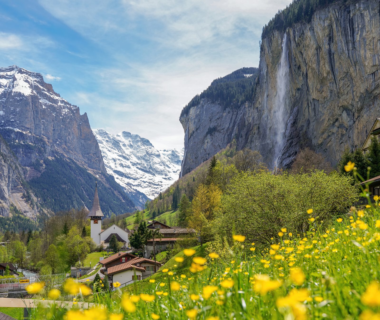 Lauterbrunnen Valley
Photo: Giles Laurent, CC BY-SA 4.0 / Wikimedia Commons
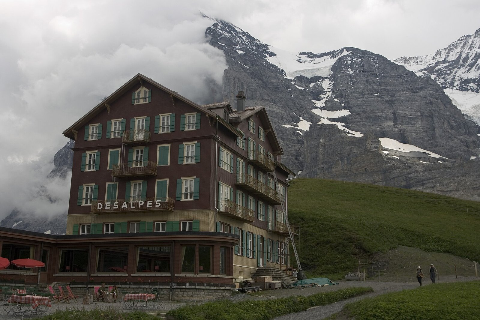 Via Alpina: Grindelwald – Kleine Scheidegg – Lauterbrunnen
Photo: Maksym Kozlenko, CC BY-SA 4.0 / Wikimedia Commons
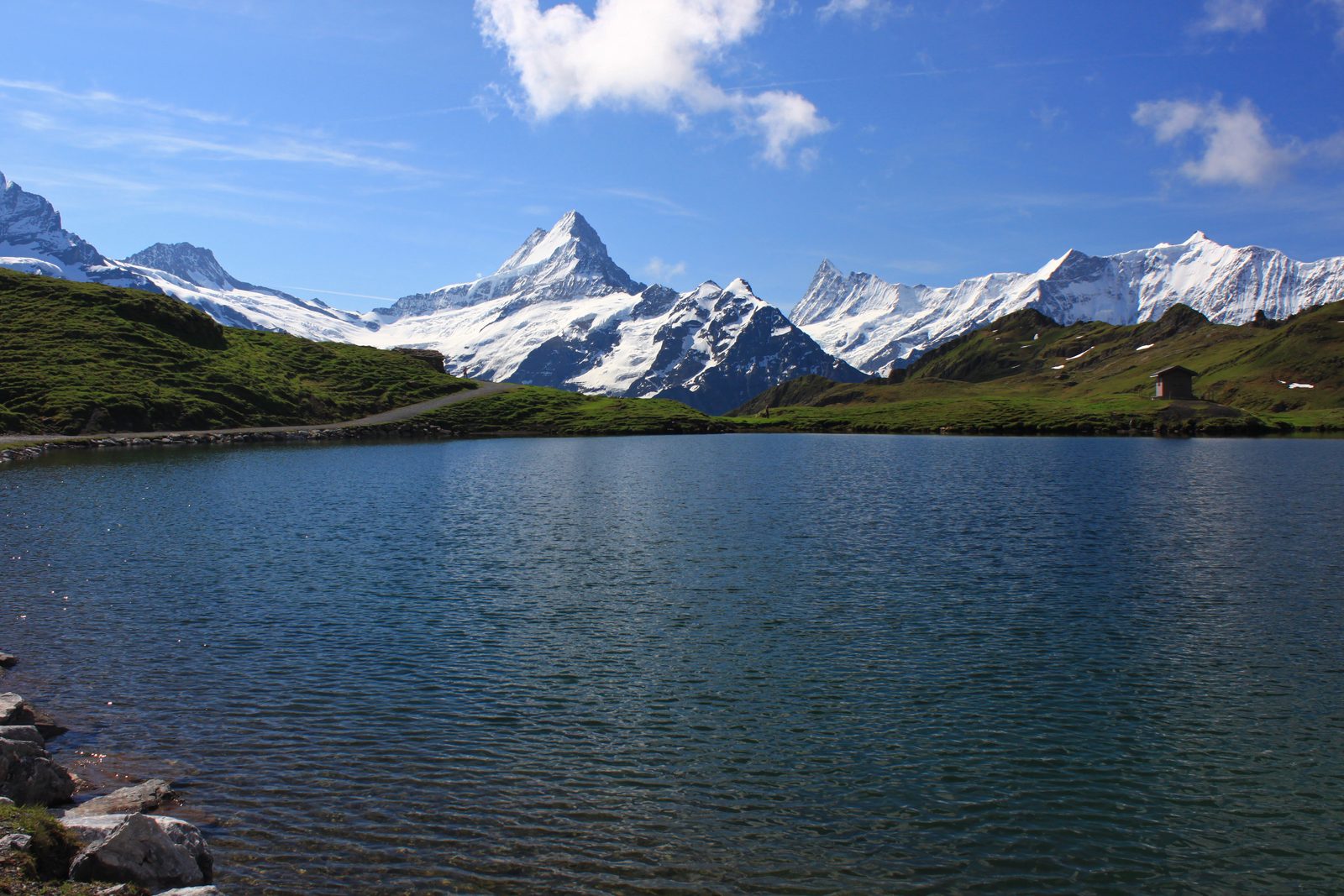 Grindelwald
Photo: Uwelino, CC BY-SA 4.0 / Wikimedia Commons
Sources (9) · last checked October 2026
Route data checked: October 2026
- Interlaken Tourismus (Berner Wanderwege) — route, access, rules
- Interlaken Tourismus — route, access, season and opening
- Jungfrau Railways — access
- Harder Kulm GmbH (restaurantharderkulm.ch) — season and opening
- opentransportdata.swiss (Harderbahn timetable) — season and opening
- Jungfraubahnen — season and opening
- Deutscher Alpenverein (alpenverein.de) — emergency numbers
- ch.ch (Swiss authorities) — emergency numbers
- BRouter (OpenStreetMap) — track