Photo: Arne Müseler, CC BY-SA 3.0 de / Wikimedia Commons
Krimml Waterfalls
Krimml, Salzburg · AustriaMay – OctoberSeasonMore
Food & drink: Gasthof Schönangerl1 on the way
Overview
At the head of the Salzach valley, above the village of Krimml, the Krimmler Ache drops 380 m over three steps into the valley. The Austrian Alpine Club's Warnsdorf-Krimml section looks after the Wasserfallweg beside the falls: a well-built path in zigzags with a string of viewing pulpits, from the Kürsingerplatz at the foot of the lowest fall to the Schettkanzel above the uppermost one.
Read more
From the car parks the lowest fall is ten to fifteen minutes away, and the way there is barrier-free as far as the Kürsingerplatz, where the spray reaches the platform. From there the path climbs to the upper fall in about an hour and a quarter. The route in this guide goes up to the Schettbrücke above the falls and back the same way.
Moderate: the path is well built but climbs steadily in zigzags, about 500 m up and down for the whole route. Barrier-free only as far as the Kürsingerplatz at the lowest fall.
Gasthof Hanke at the foot of the falls and Gasthof Schönangerl on the way up.
Map & profile
Krimml Waterfall Path to the Schettbrücke
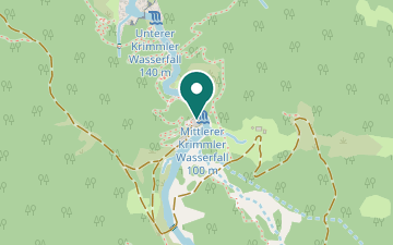
From the entrance a short way down to the Kürsingerplatz at the lowest fall, back past Gasthof Hanke and up the viewpoint path in zigzags past the pulpits, Gasthof Schönangerl and the Staubige Reib, where the spray reaches the path, over the uppermost step to the Schettbrücke. Back the same way.
Places on the way
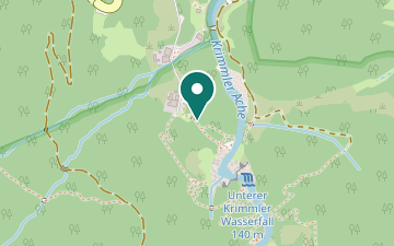
- Platform at the foot of the lowest fall, barrier-free from the car parks.
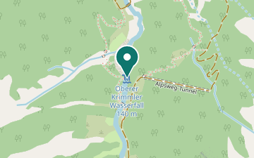
- The lowest of the three steps, ten to fifteen minutes from the car parks.
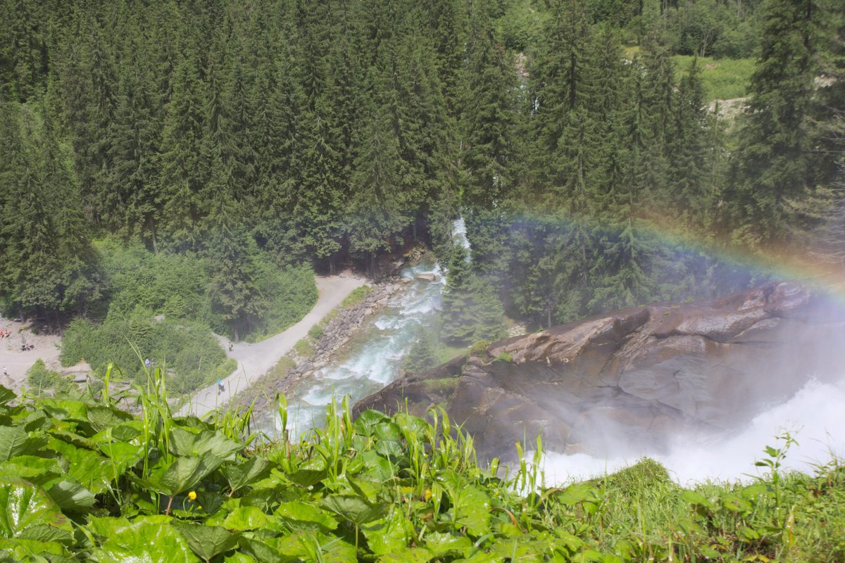
- The middle step, seen from the pulpits of the viewpoint path.
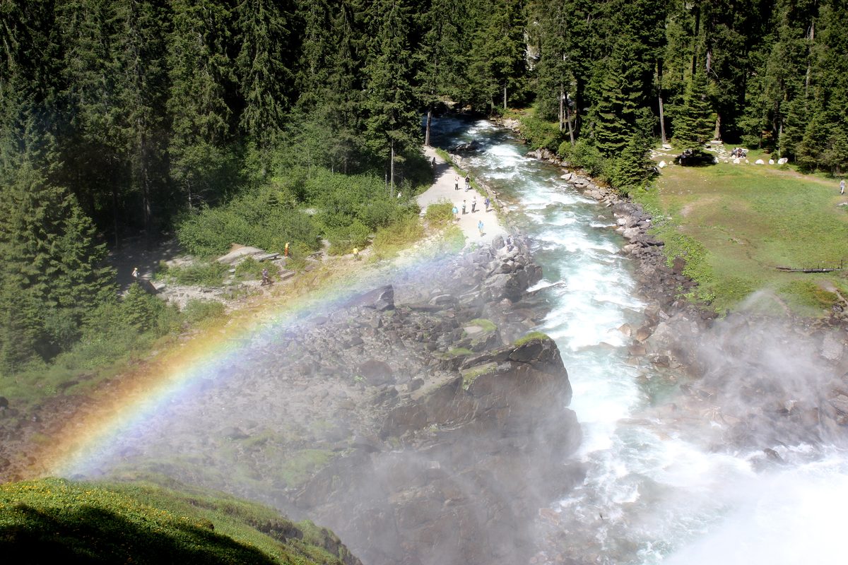
- The uppermost step, below the Schettkanzel and the Schettbrücke.
- Inn on the way up, where the path levels out between the middle and the upper fall.
Plan your hike
Getting there
- Bus
- Krimml Wasserfälle
Bus 670 Timetable by Salzburger Verkehrsverbund - Start
- Start by ≈ 15:11 at the latestlimited by daylight · walking time 2:30 h + 30 min buffer
- Car
- Car park Trattenköpfl≈ 300 m to the start (straight line)Paid car park by the falls.
Getting there in detail
Bus 670 runs from Zell am See station via Mittersill to the stop Krimml Wasserfälle, about 400 m from the entrance to the Wasserfallweg. The current timetable is valid until 12 December 2026. By car on the Gerlos road (B165) to Krimml; there are paid car parks by the falls.
Latest start = the earlier of last bus or sunset, minus route time and 30 minutes. Sunset is calculated for the trailhead; in shaded terrain it gets dark earlier.
Nearby
Sources (7) · last checked October 2026
Route data checked: October 2026
- ÖAV Sektion Warnsdorf-Krimml — access, season and opening, prices
- Nationalpark Hohe Tauern — season and opening
- Salzburger Verkehrsverbund — access
- Deutscher Alpenverein (alpenverein.de) — emergency numbers
- oesterreich.gv.at — emergency numbers
- Zillertal Arena — route, distance, elevation, time, difficulty
- BRouter (OpenStreetMap) — track