Hiking route
From the Karersee into the Latemar rock labyrinth
Welschnofen / Nova Levante · South Tyrol · Italy
Moderate
Rated by Eggental Tourismus
Karer See / Lago di Carezza or by car: Car park Karer See
- Distance
- 9.6km
- Duration
- 3:00h
- Ascent
- 447m
- Descent
- 447m
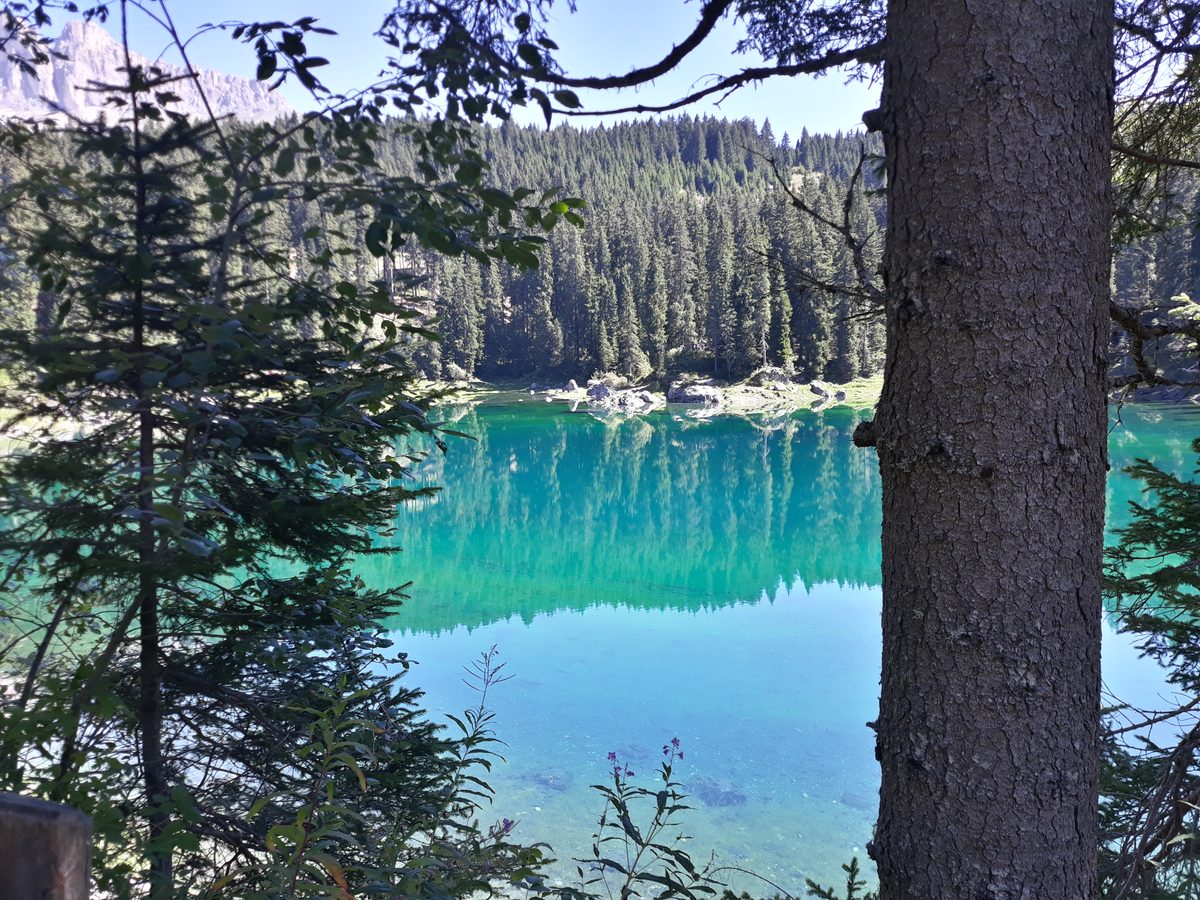
Photo: Adert, CC BY-SA 4.0 / Wikimedia Commons
Status today
- No closures on record.Official route page ↗
Map and elevation profile
Loading map…
↑ 447 m · ↓ 447 m
1234
Along the route
- 1
Sea Bistro
- 2
Karersee
- 3
Mitterleger
- 4
Latemar rock labyrinth
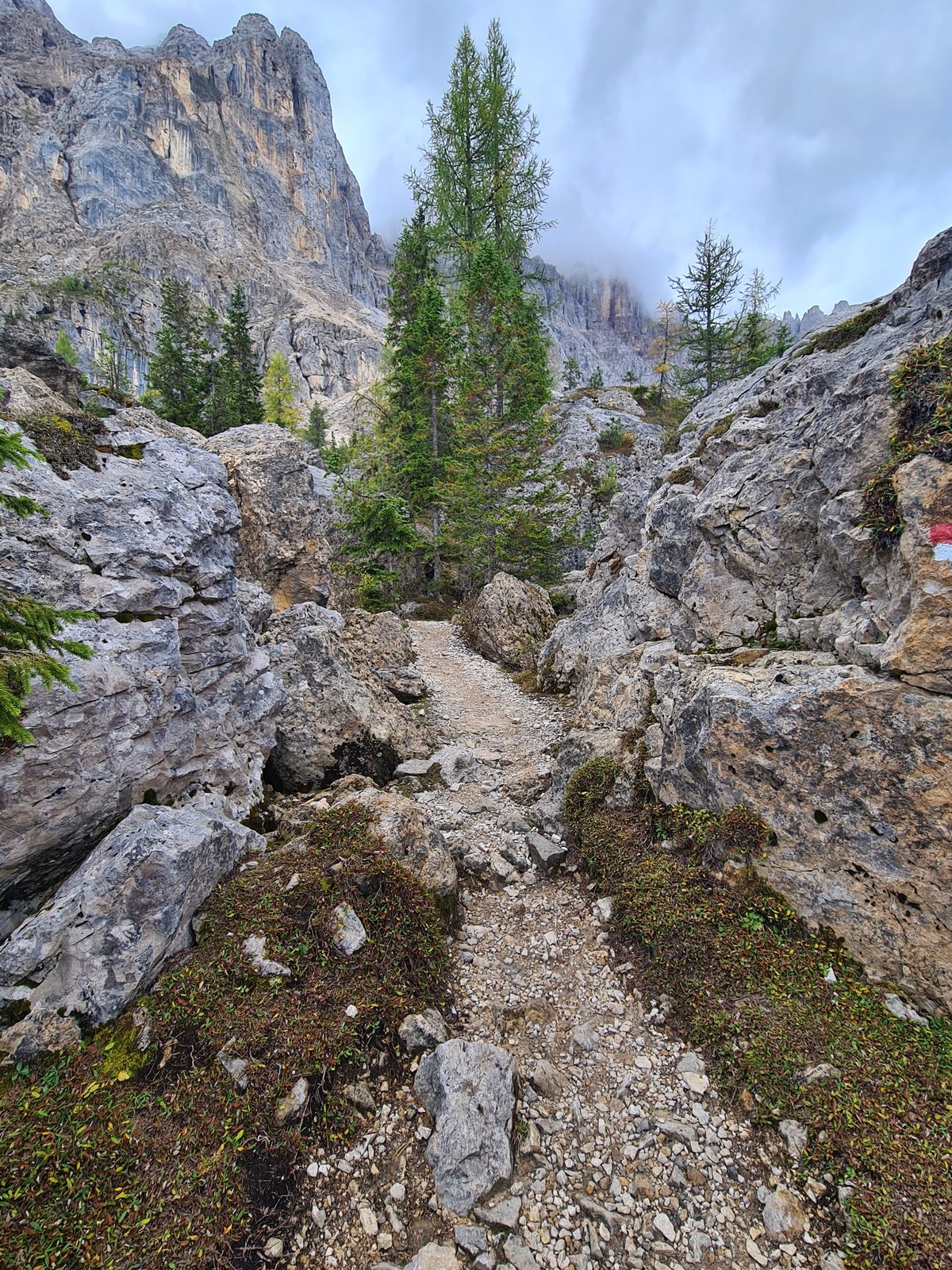
Photo: Benreis, CC BY-SA 4.0 / Wikimedia Commons
About the route
From the lake on forest road [11] through the Karerwald to the Mitterleger viewpoint, then the Labyrinthsteig [20] through the rockfall below the Latemar: narrow gorges and stone passages, in places with your hands for support. At the junction left onto [18], then [21] back to the Mitterleger and on [11] down to the lake.
Nearby
 Alpe di Siusi
Photo: Tomáš Malík / Unsplash
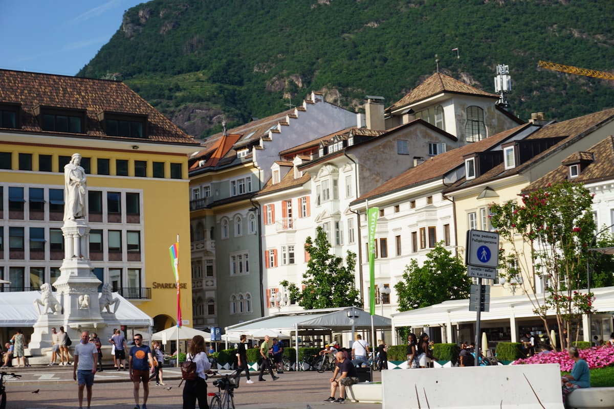 Bolzano
Photo: Babak Habibi / Unsplash
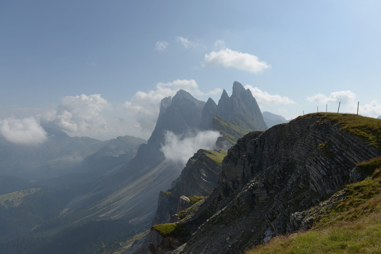 Val Gardena: Seceda
Photo: Wolfgang Moroder, CC BY-SA 3.0 / Wikimedia Commons
Sources (4) · last checked October 2026
Route data checked: October 2026
- Eggental Tourismus — access, rules, season and opening
- Middle loop at the Karersee — route, distance, elevation, time, difficulty, season and opening
- From the Karersee into the Latemar rock labyrinth — route, distance, elevation, time, difficulty, season and opening
- Deutscher Alpenverein (alpenverein.de) — emergency numbers
- Ministero della Salute — emergency numbers
- BRouter (OpenStreetMap) — track