Hiking route
Šmarna gora via Spodnja Kuhinja
Ljubljana · Slovenia
Easy
Rated by Turizem Ljubljana
Tacen or by car: Parkirišče pod Šmarno goro
- Distance
- 1.9km
- Duration
- 0:55h
- Ascent
- 366m
Loading map…
Status today
- No closures on record.Official route page ↗
Elevation profile
About the route
From Tacen up the "Path over the Roots" (Pot čez Spodnjo Kuhinjo), the most popular route up Šmarna gora (669 m): not exposed, but quite steep, with frequent tree roots and some rocky sections. Down the same way; about 1 h 30 min overall.
Nearby
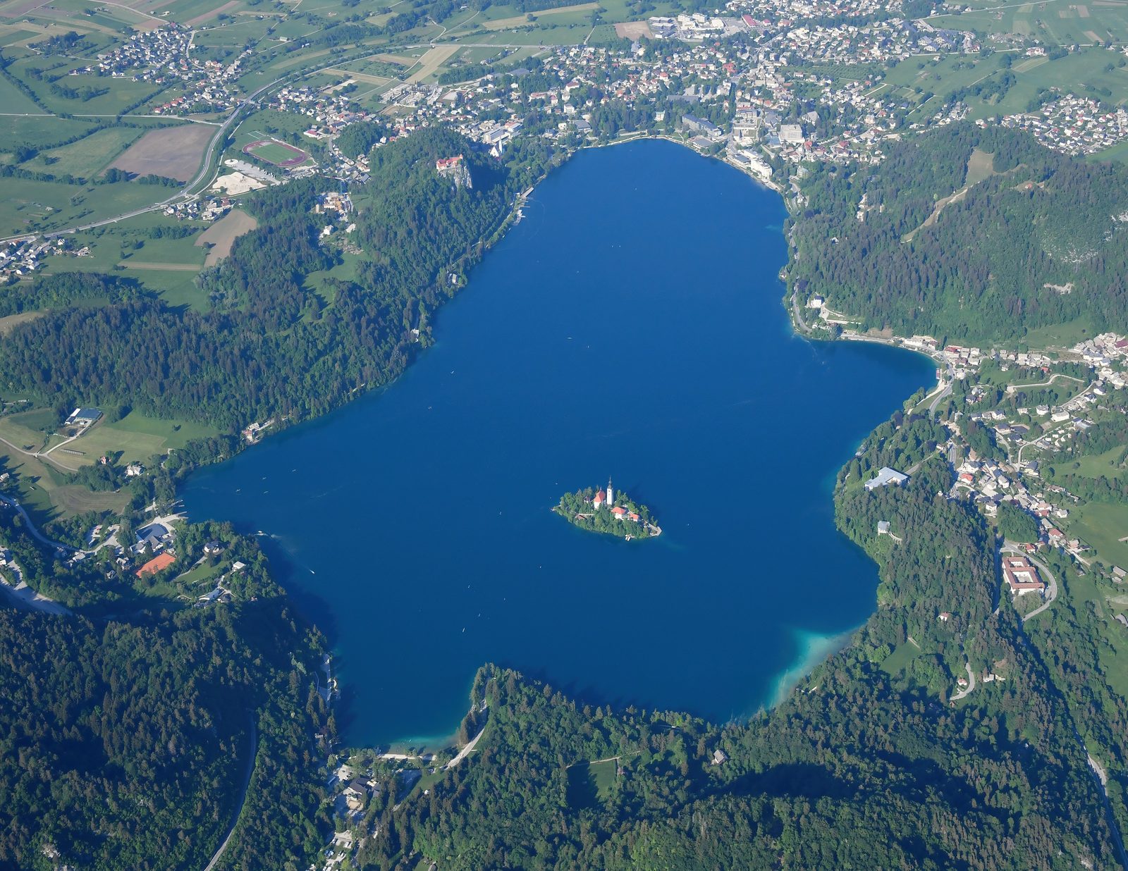 Bled: Lake, Castle & Mala Osojnica
Photo: Carsten Steger, CC BY-SA 4.0 / Wikimedia Commons
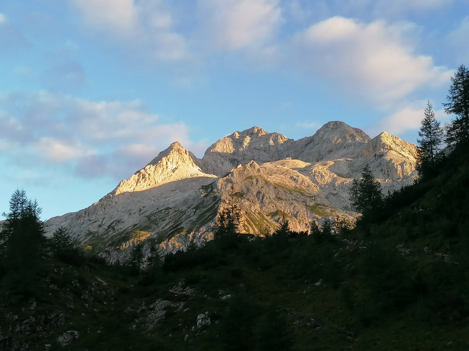 Bohinj
Photo: Vwulz, CC BY-SA 4.0 / Wikimedia Commons
Sources (7) · last checked October 2026
Route data checked: October 2026
- Ljubljana Castle (ljubljanskigrad.si) — access, rules, season and opening
- Visit Ljubljana — season and opening, history
- Bled tourism board (bled.si) — access
- Deutscher Alpenverein (alpenverein.de) — emergency numbers
- GOV.SI — emergency numbers
- Ljubljana Tourism (visitljubljana.com) — route, distance, elevation, time, difficulty, access
- BRouter (OpenStreetMap) — track