Hiking route
Alpnachstad – Ämsigen – Pilatus Kulm
Lucerne · Central Switzerland · Switzerland
Challenging
Rated by Luzern Tourismus
Alpnachstad or by car: Car park at Alpnachstad station
- Distance
- 7.7km
- Duration
- 5:00h
- Ascent
- 1,628m
Loading map…
Status today
- Kriens – Pilatus Kulm closed for maintenance until 27 Nov
- Season: June – October · out of season
Elevation profile
↑ 1,628 m
123
Along the route
- 1
Pilatusbahn Alpnachstad
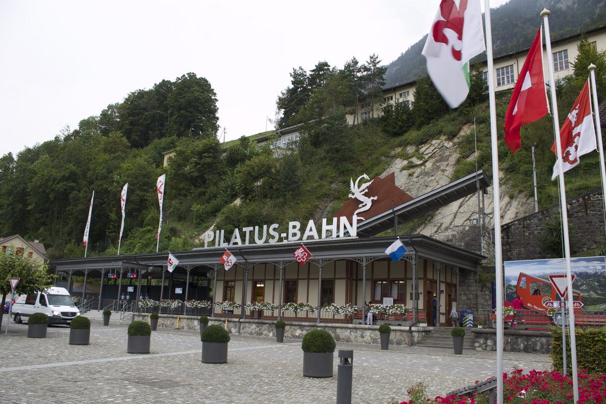
Photo: Patrick Nouhailler's…, CC BY-SA 3.0 / Wikimedia Commons
- 2
Pilatus Kulm (2,132 m)
- 3
Restaurant Pilatus-Kulm
About the route
Classic, steep ascent beside the cogwheel railway from Alpnachstad to Pilatus Kulm: through the Langenschwand forest to the Ämsigen mid-station, past the Chilchsteine below the Matthorn, then up a scree path to the summit. Most hikers take the cogwheel railway back down; it runs only in the summer season, so check the timetable and reserve a seat.
More routes in Lucerne
Nearby
 Zürich
Photo: Henrique Ferreira / Unsplash
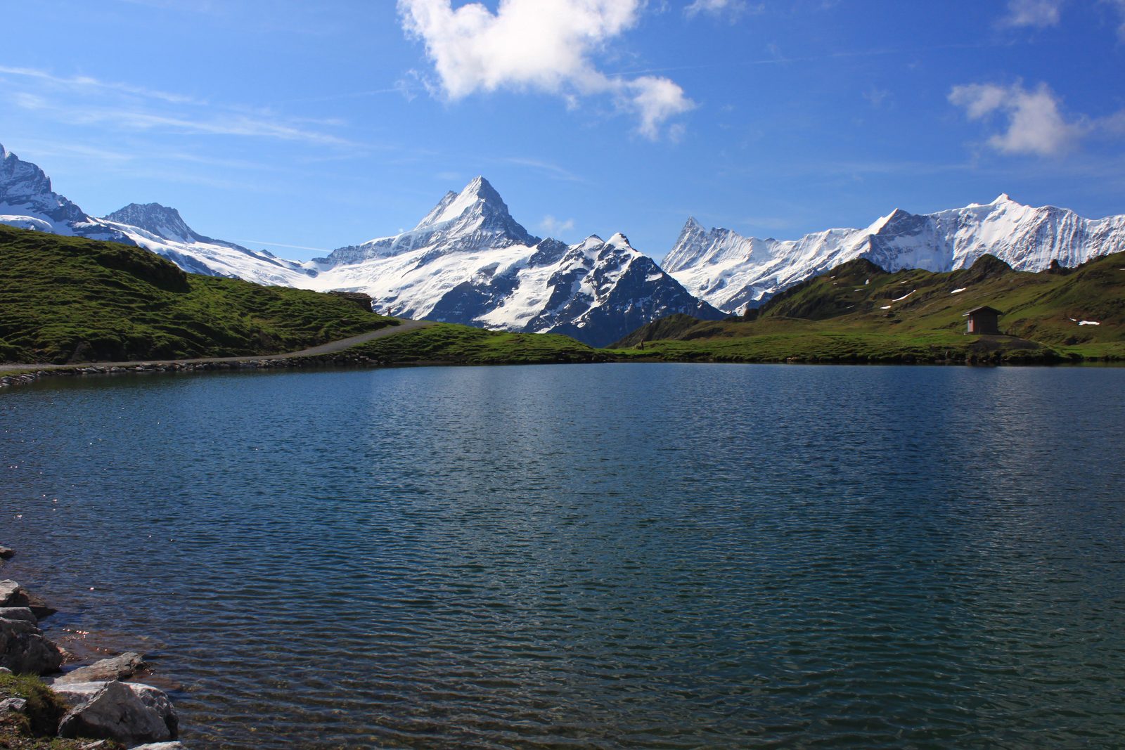 Grindelwald
Photo: Uwelino, CC BY-SA 4.0 / Wikimedia Commons
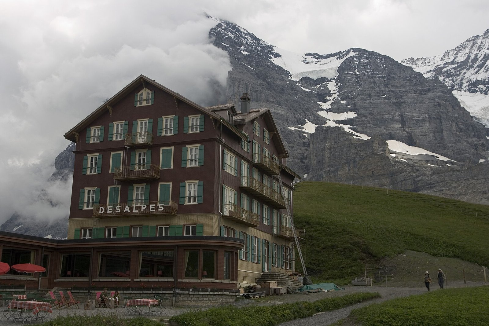 Via Alpina: Grindelwald – Kleine Scheidegg – Lauterbrunnen
Photo: Maksym Kozlenko, CC BY-SA 4.0 / Wikimedia Commons
Sources (8) · last checked October 2026
Route data checked: October 2026
- Luzern Tourismus (luzern.com) — access, history
- Luzerner Seeuferweg (SchweizMobil 560) — route, distance, elevation, time, difficulty, season and opening
- Alpnachstad – Ämsigen – Pilatus Kulm — route, distance, elevation, time, difficulty, access, season and opening
- Pilatus-Bahnen AG (pilatus.ch) — route, time, difficulty, access, season and opening, history
- opentransportdata.swiss (SGV timetable) — access
- Deutscher Alpenverein (alpenverein.de) — emergency numbers
- ch.ch (Swiss authorities) — emergency numbers
- SchweizMobil — route, track
- swisstopo — difficulty
- BRouter (OpenStreetMap) — track