Hiking route
Luzerner Seeuferweg (SchweizMobil 560)
Lucerne · Central Switzerland · Switzerland
Easy
Rated by Luzern Tourismus
Luzern
- Distance
- 3.5km
- Duration
- 0:51h
- Ascent
- 3m
- Descent
- 2m
Loading map…
Status today
- No closures on record.Official route page ↗
Elevation profile
Along the route
- 1
Kapellbrücke
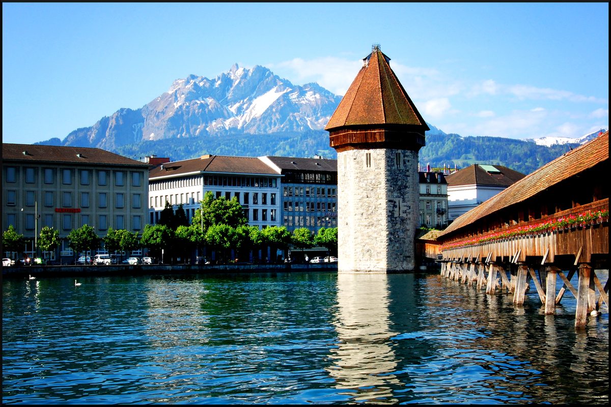
Photo: edwin.11, CC BY 2.0 / Wikimedia Commons
About the route
SchweizMobil route 560 from Lucerne station past the KKL, over the Seebrücke and along the quays, past the Casino and the Verkehrshaus to the Lido and the Hotel Seeburg. Easy and year-round; back by bus or boat from the Verkehrshaus-Lido landing stage.
More routes in Lucerne
Nearby
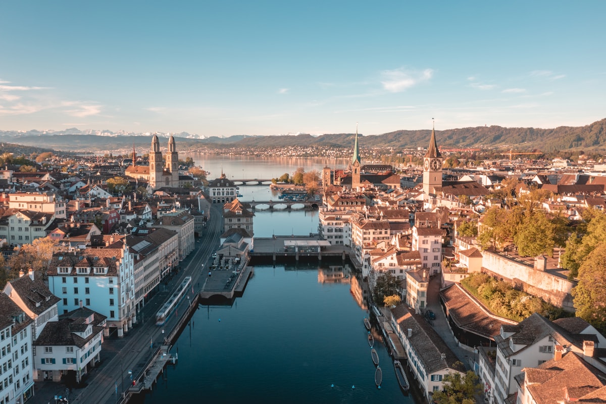 Zürich
Photo: Henrique Ferreira / Unsplash
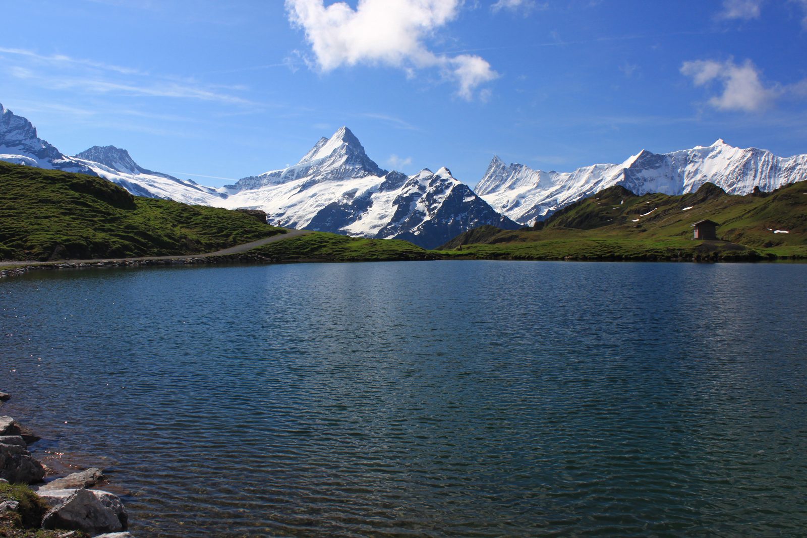 Grindelwald
Photo: Uwelino, CC BY-SA 4.0 / Wikimedia Commons
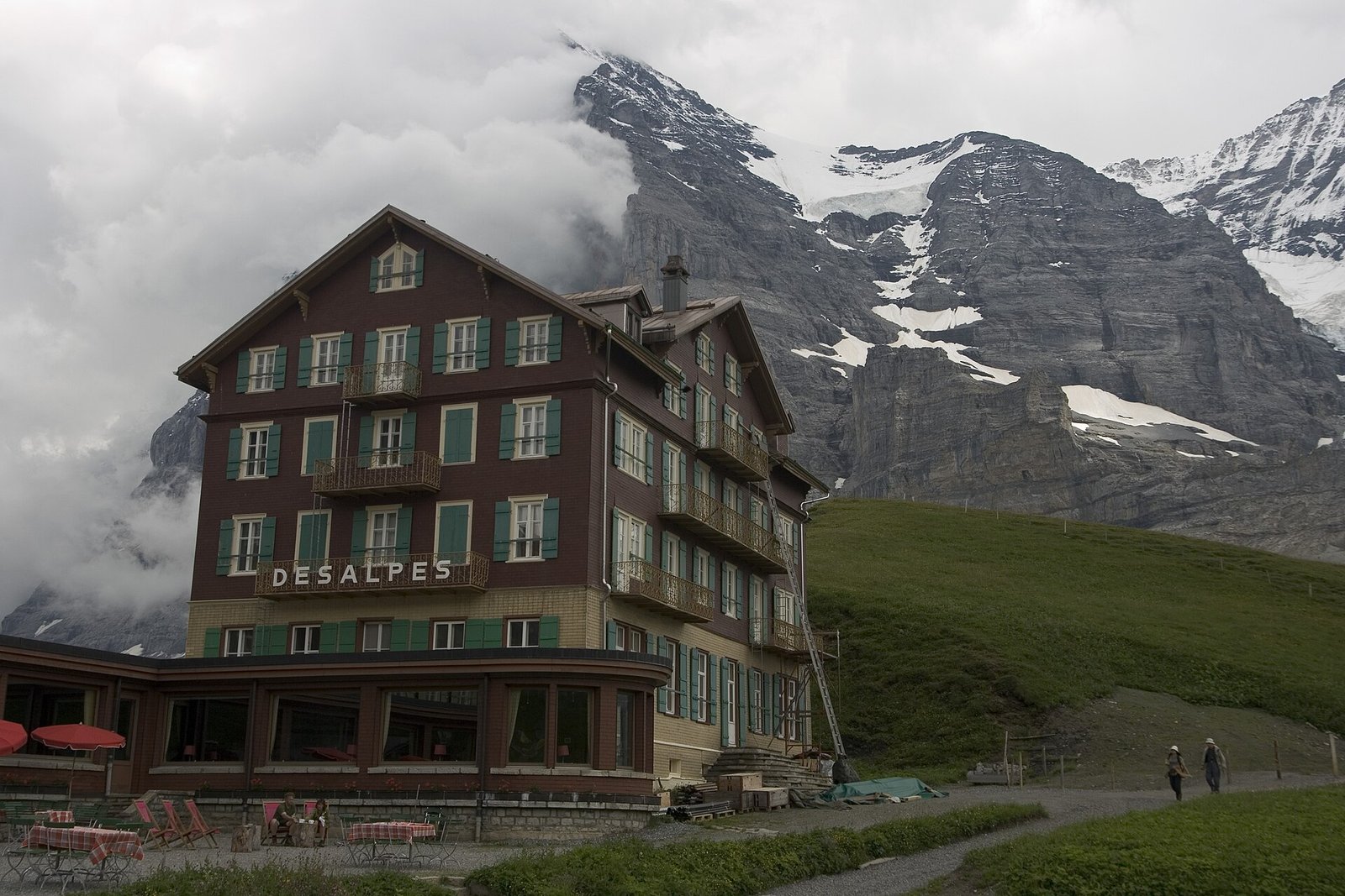 Via Alpina: Grindelwald – Kleine Scheidegg – Lauterbrunnen
Photo: Maksym Kozlenko, CC BY-SA 4.0 / Wikimedia Commons
Sources (8) · last checked October 2026
Route data checked: October 2026
- Luzern Tourismus (luzern.com) — access, history
- Luzerner Seeuferweg (SchweizMobil 560) — route, distance, elevation, time, difficulty, season and opening
- Alpnachstad – Ämsigen – Pilatus Kulm — route, distance, elevation, time, difficulty, access, season and opening
- Pilatus-Bahnen AG (pilatus.ch) — route, time, difficulty, access, season and opening, history
- opentransportdata.swiss (SGV timetable) — access
- Deutscher Alpenverein (alpenverein.de) — emergency numbers
- ch.ch (Swiss authorities) — emergency numbers
- SchweizMobil — route, track
- swisstopo — difficulty
- BRouter (OpenStreetMap) — track