Hiking route
WildeWasserWeg stage 2: Grawa waterfall – Sulzenauhütte
Neustift im Stubaital · Tyrol · Austria
Moderate
Rated by TVB Stubai Tirol
Grawa Alm or by car: Car park Sulzenauhütte stop
- Distance
- 4.3km
- Duration
- 2:30h
- Ascent
- 676m
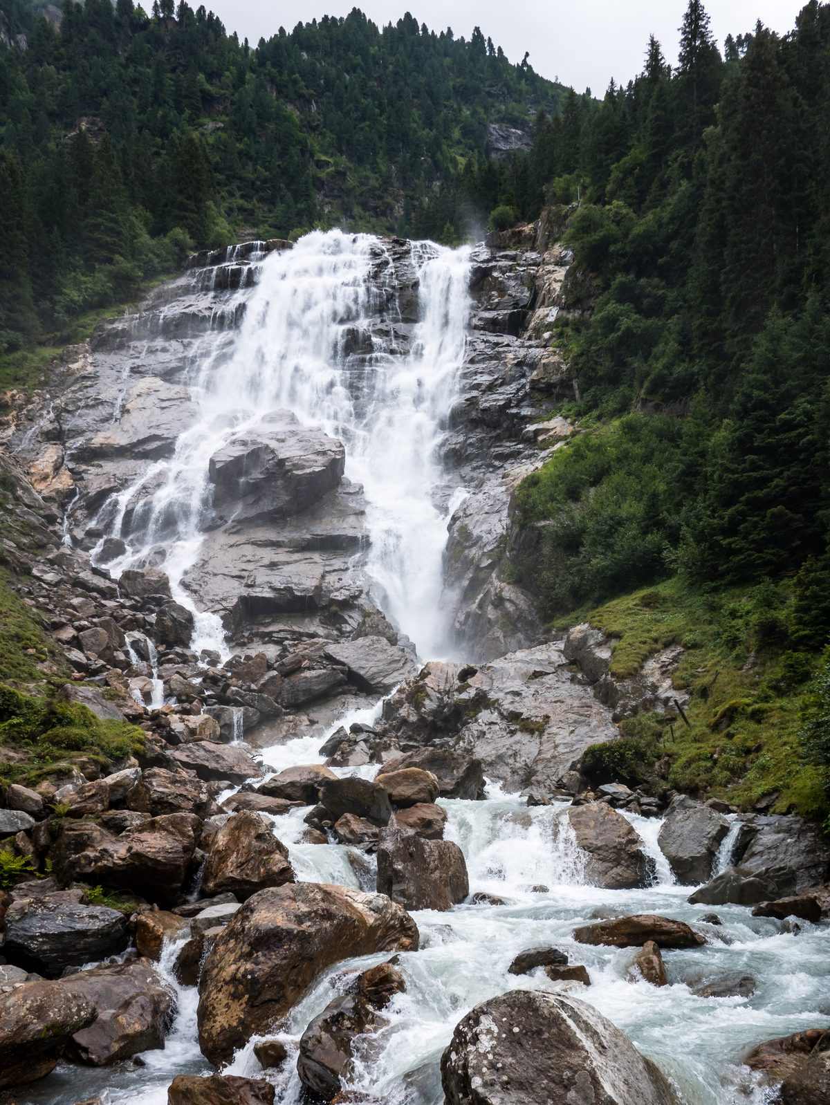
Photo: Basotxerri, CC BY-SA 4.0 / Wikimedia Commons
Status today
- Season: June – September · out of season
Map and elevation profile
Loading map…
↑ 676 m
1234
Along the route
- 1
Grawa waterfall
- 2
Sulzenau Alm
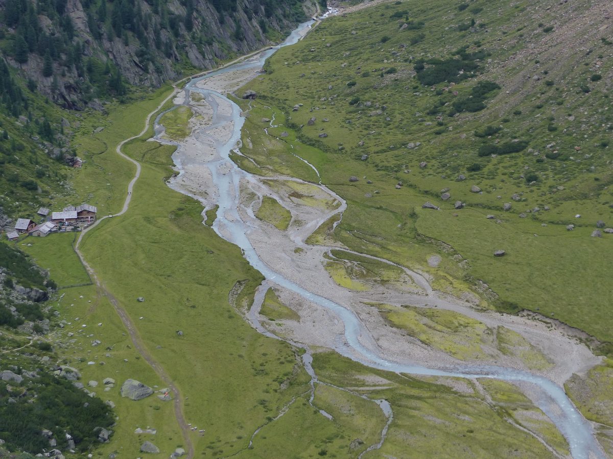
Photo: Whgler, CC BY-SA 4.0 / Wikimedia Commons
- 3
Sulzenaufall
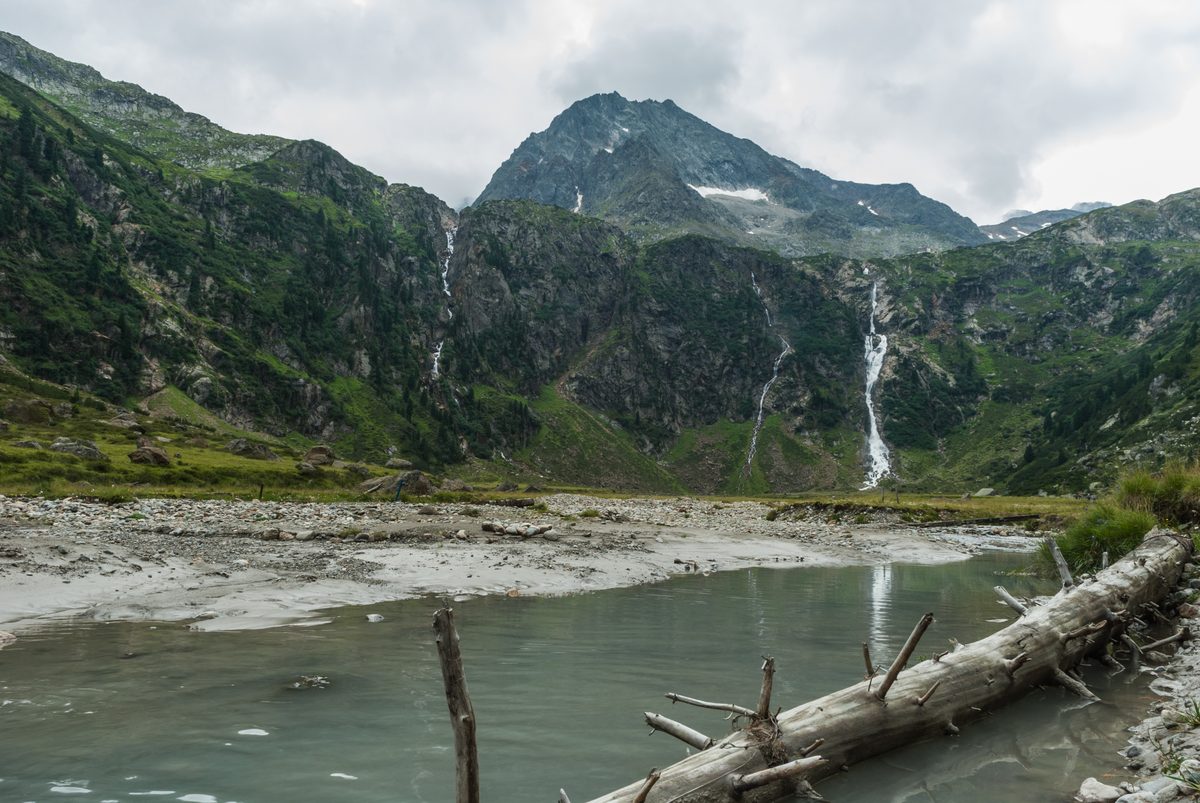
Photo: Hermann Hammer, CC0 / Wikimedia Commons
- 4
Sulzenauhütte
About the route
From the Grawa waterfall the old alpine path climbs direct and steep to the Sulzenau Alm, where the Sulzenaufall drops more than 200 m in a narrow line, and on to the Sulzenauhütte. Back the same way.
More routes in Stubai Valley
Nearby
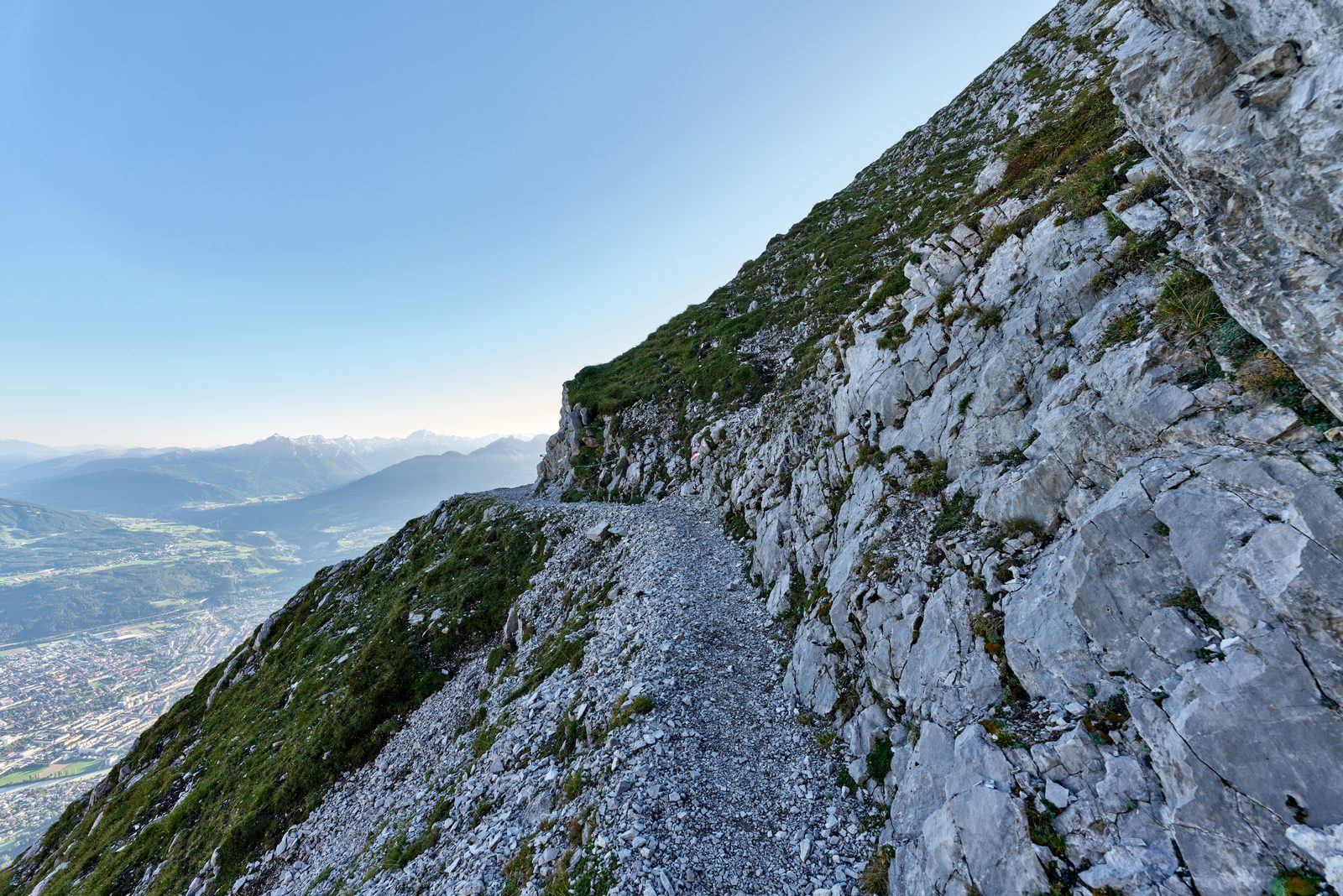 Innsbruck
Photo: Leonhard Lenz, CC0 / Wikimedia Commons
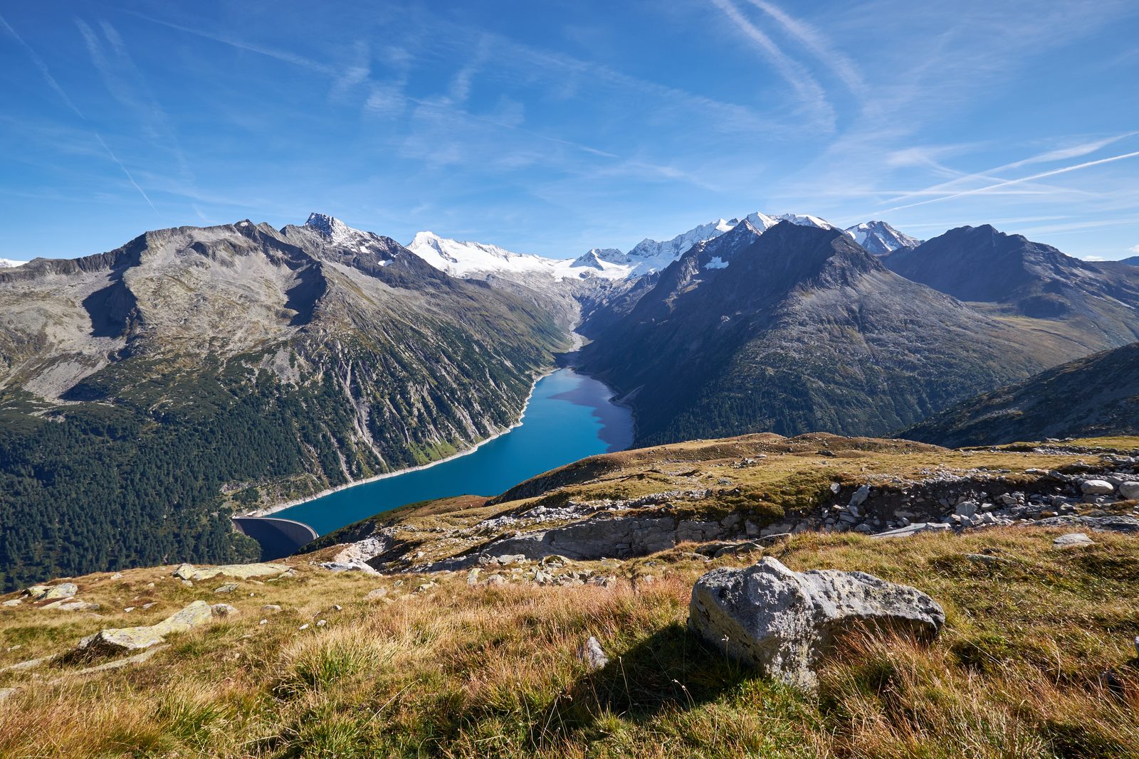 Zillertal: Schlegeis Reservoir & Olpererhütte
Photo: Hildefonz, CC BY-SA 4.0 / Wikimedia Commons
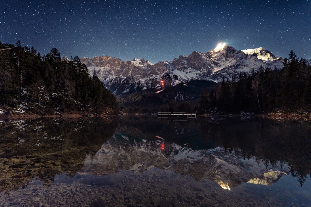 Zugspitz Region
Photo: David Becker / Unsplash
Sources (7) · last checked October 2026
Route data checked: October 2026
- Tirol Werbung (tirol.at) — route, distance, elevation, time, difficulty, access, season and opening
- TVB Stubai Tirol (stubai.at) — access
- Tirol Werbung (presse.tirol.at)
- Sulzenauhütte (sulzenauhuette.at) — season and opening
- Deutscher Alpenverein (alpenverein.de) — emergency numbers
- oesterreich.gv.at — emergency numbers
- BRouter (OpenStreetMap) — track