Hiking route
Liechtenstein Trail: Vaduz Route
Vaduz · Liechtenstein
Moderate
Rated by Liechtenstein Tourismus
Vaduz, Städtle about 20 min on foot from the Städtle or by car: Marktplatz parking garage
- Distance
- 5.4km
- Duration
- 1:25h
- Ascent
- 23m
- Descent
- 152m
Status today
- Season: January – December · in season
Elevation profile
Along the route
- 1
Schloss Vaduz
- 2
Citytrain Vaduz
- 3
Kunstmuseum Liechtenstein
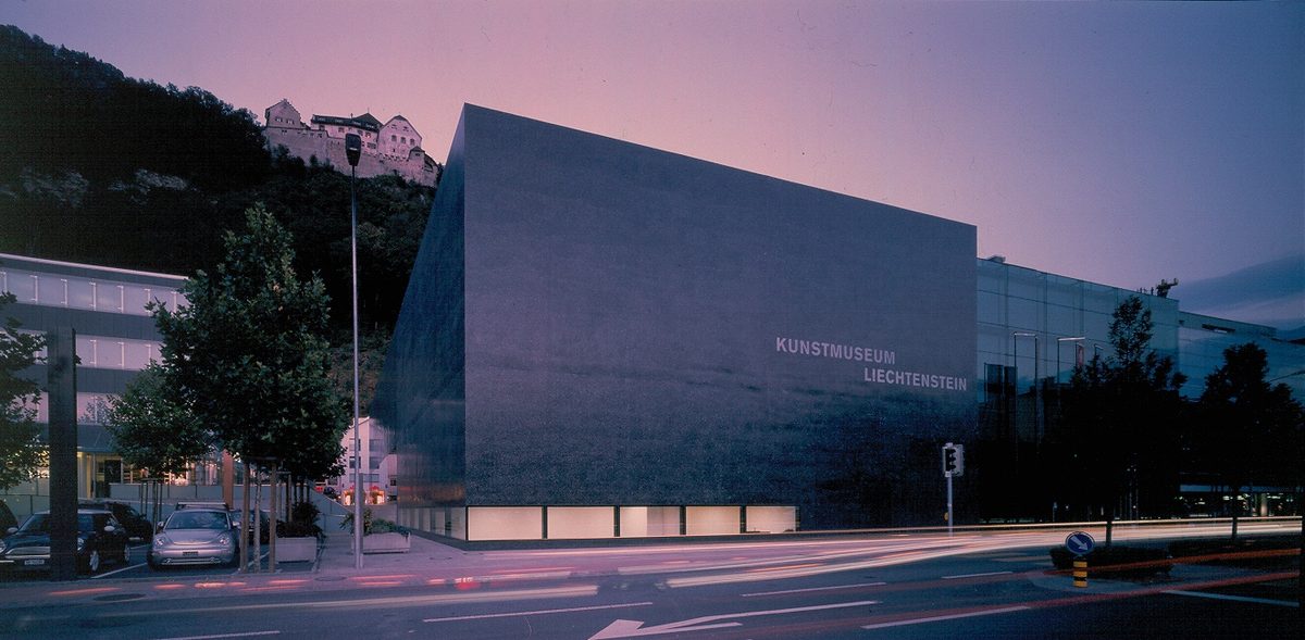
Photo: Ruedi Walti, CC BY-SA 3.0 / Wikimedia Commons
- 4
Liechtensteinisches Landesmuseum
- 5
Regierungsgebäude
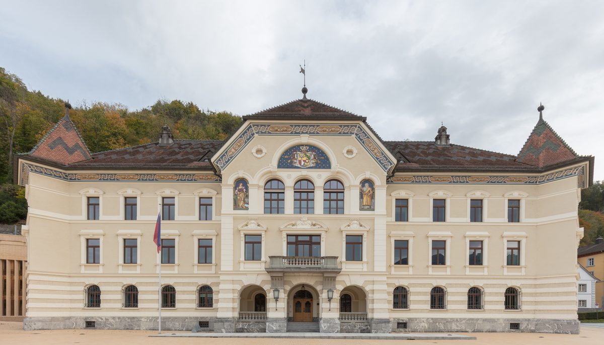
Photo: Diego Delso, CC BY-SA 4.0 / Wikimedia Commons
- 6
Kathedrale St. Florin
About the route
The Liechtenstein Trail's round walk through Vaduz: from the castle down the Haldenweg into the Städtle, past the National Museum, the government quarter and the cathedral to the Old Rhine Bridge, along the Rhine and back towards the princely wine estate. The way back up to the castle runs past the Rotes Haus. The tourism board notes the walk may be closed or interrupted depending on season and weather.
Nearby
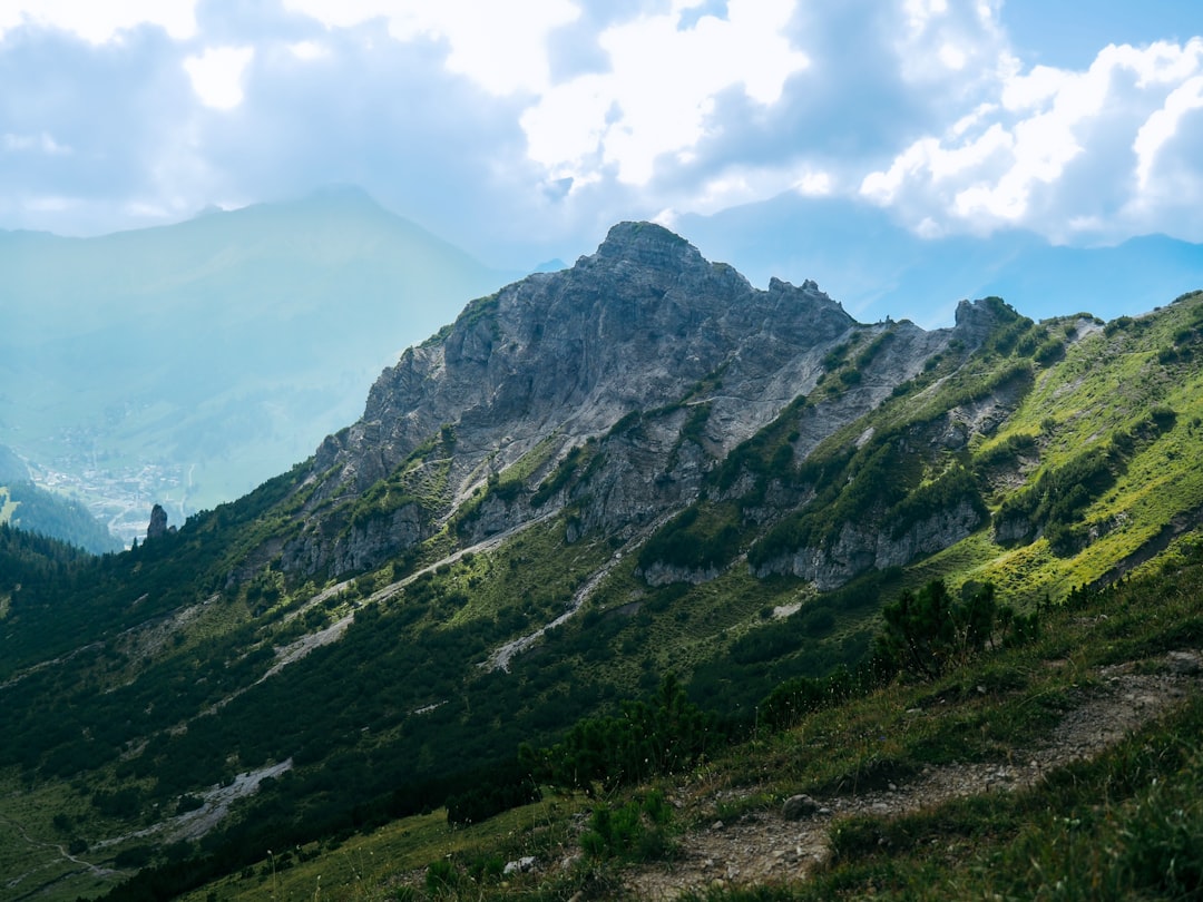 Gaflei
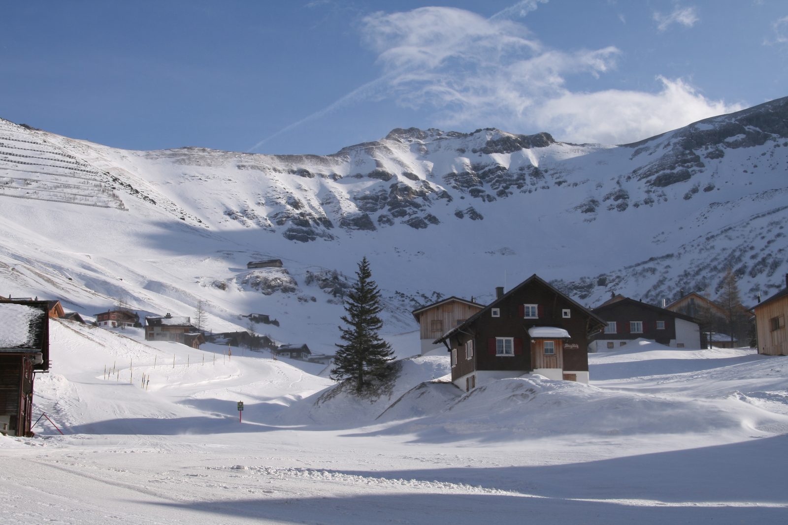 Malbun Ski Area
Photo: böhringer friedrich, CC BY-SA 2.5 / Wikimedia Commons
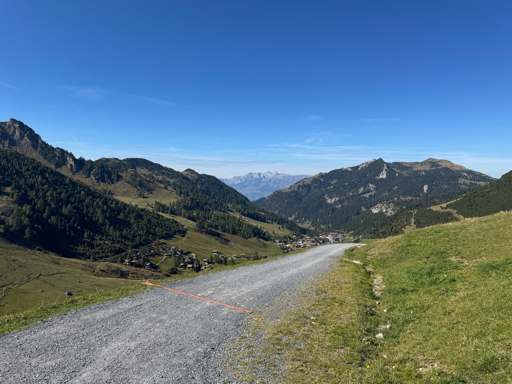 Malbun
Sources (7) · last checked October 2026
Route data checked: October 2026
- Liechtenstein Tourismus (tourismus.li) — route, access, season and opening, history
- Vaduz Städtle route (barrier-free) — route, distance, elevation, time, difficulty, access, season and opening
- Liechtenstein Trail: Vaduz Route — route, distance, elevation, time, difficulty, access, season and opening
- Liechtenstein Trail: via the Rotes Haus back to the castle — route, season and opening
- Citytrain AG — access, season and opening
- Citytrain Vaduz (citytrain.li) — season and opening
- Bergrettung Liechtenstein — emergency numbers
- Deutscher Alpenverein (alpenverein.de) — emergency numbers
- Landespolizei Liechtenstein — emergency numbers
- BRouter (OpenStreetMap) — track