Hiking route
Loop to the Cabane des Aiguilles Rouges and Lac Bleu
Arolla · Valais · Switzerland
Challenging
Rated by Valais/Wallis Promotion
Arolla, poste
- Distance
- 14km
- Duration
- 5:30h
- Ascent
- 928m
- Descent
- 929m
Loading map…
Status today
- No closures on record.Official route page ↗
Elevation profile
↑ 928 m · ↓ 929 m
123
Along the route
- 1
Arolla, poste (bus stop)
- 2
Cabane des Aiguilles Rouges
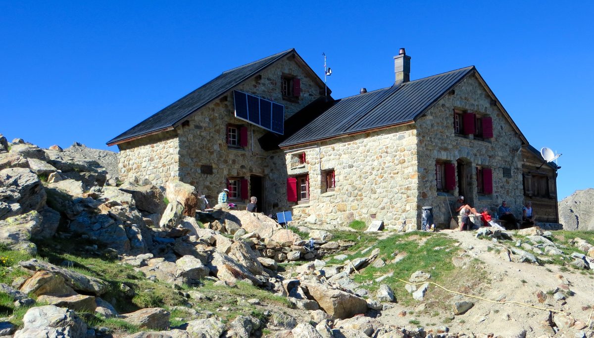
Photo: Alex Saunier, CC BY-SA 3.0 / Wikimedia Commons
- 3
Lac Bleu
About the route
Zig-zags up from Arolla past the tree line and climbs steadily to the Cabane des Aiguilles Rouges (2,821 m). After a short further climb, a steep descent to Lac Bleu; back to Arolla along the tree line on the geological theme trail. Loop.
More routes in Arolla
Nearby
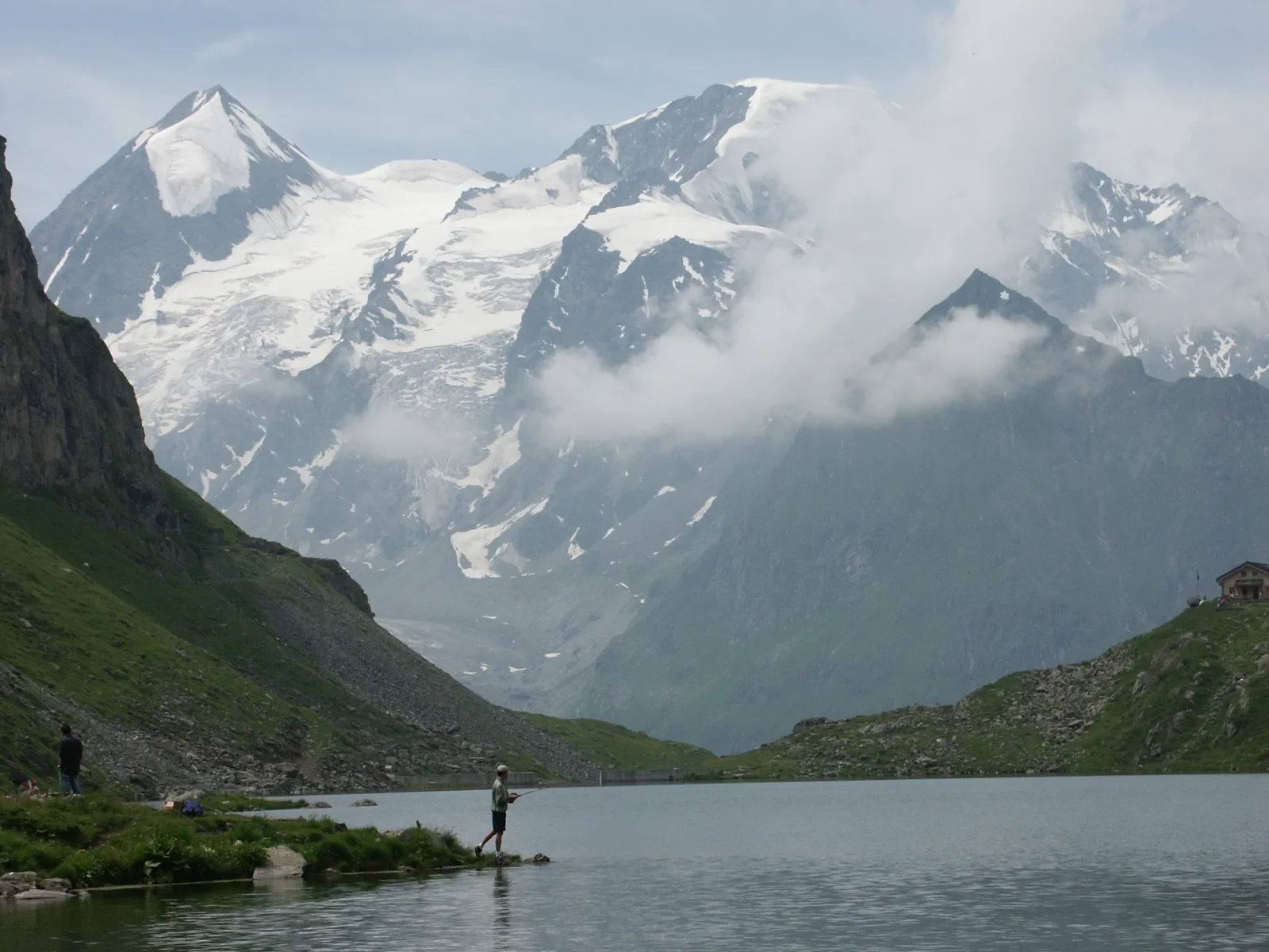 Val de Bagnes
Photo: Olivier Bruchez, CC BY-SA 2.0 / Wikimedia Commons
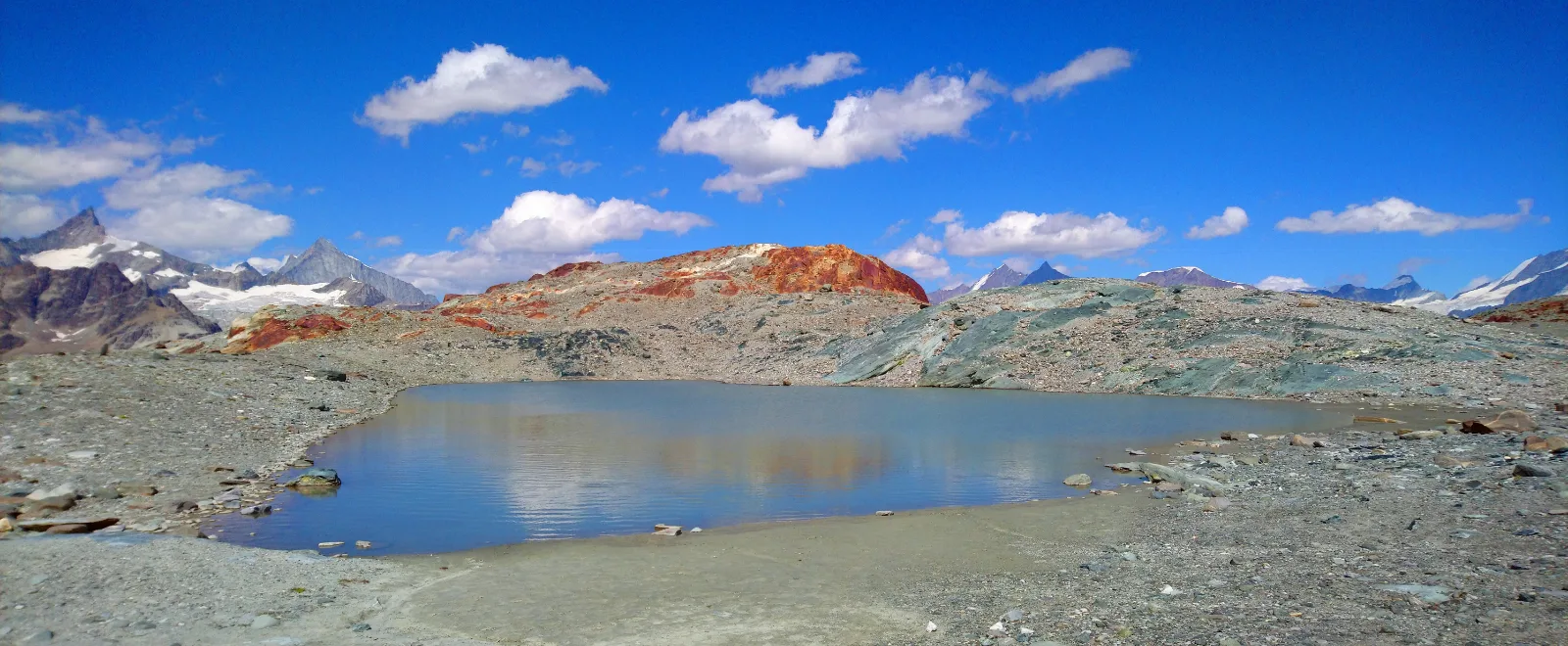 Zermatt
Photo: Tiia Monto, CC BY-SA 3.0 / Wikimedia Commons
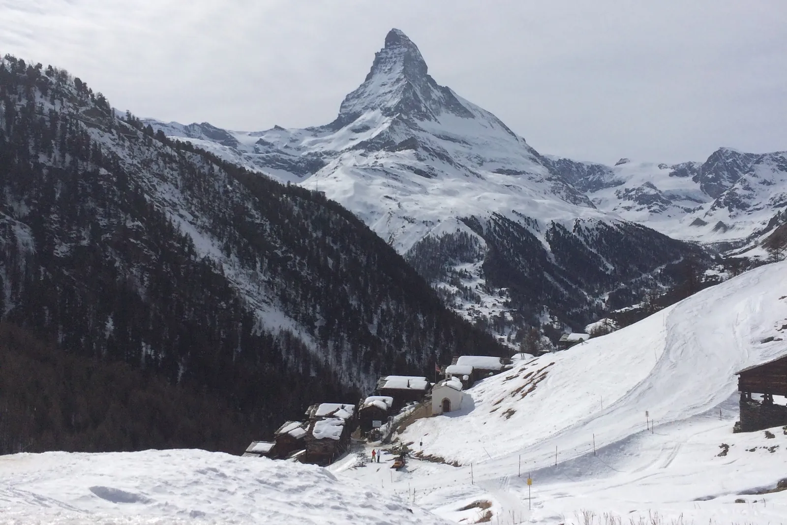 Zermatt Ski Area
Photo: Alexandrasophiewexler, CC BY-SA 4.0 / Wikimedia Commons
Sources (10) · last checked October 2026
Route data checked: October 2026
- Evolène Région Tourisme — route, elevation, access
- Arolla – Glacier d'Arolla — route, distance, elevation, time, difficulty
- Lac Bleu from La Gouille — route, distance, elevation, time, difficulty
- Valais/Wallis Promotion — route, distance, elevation, time, difficulty, access, history
- SchweizMobil — history
- swisstopo — elevation, access
- Swiss public transport timetable (transport.opendata.ch) — access
- Association de la Cabane des Aiguilles-Rouges — access
- Air Zermatt — emergency numbers
- Deutscher Alpenverein (alpenverein.de) — emergency numbers
- ch.ch (Swiss authorities) — emergency numbers
- BRouter (OpenStreetMap) — track