Region · 5 routes
Zermatt
Zermatt · Valais · Switzerland
Zermatt is a car-free village below the Matterhorn: if you come by car, you park in Täsch, five kilometers before Zermatt, and the Matterhorn Gotthard Railway takes you into the village in 12 minutes. Zermatt Tourism's trails range from easy paths to demanding alpine tours.
Winter from 28 Nov
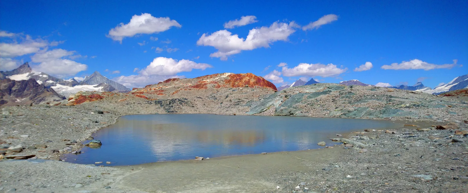
Photo: Tiia Monto, CC BY-SA 3.0 / Wikimedia Commons
Status today
- Riffelsee trail: Rotenboden – Riffelberg: Riffelseeweg (No. 21) closed
- Gornergrat Bahn: Closed
- Furri: Opens 9 Nov
Map and routes
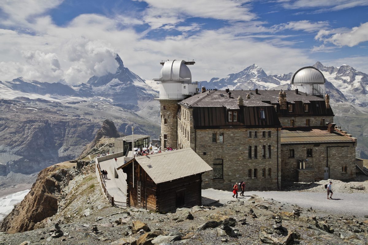
Photo: Ximonic (Simo Räsänen), CC BY-SA 4.0 / Wikimedia Commons
- 2Grindjisee
- 3Grünsee
- 4Leisee
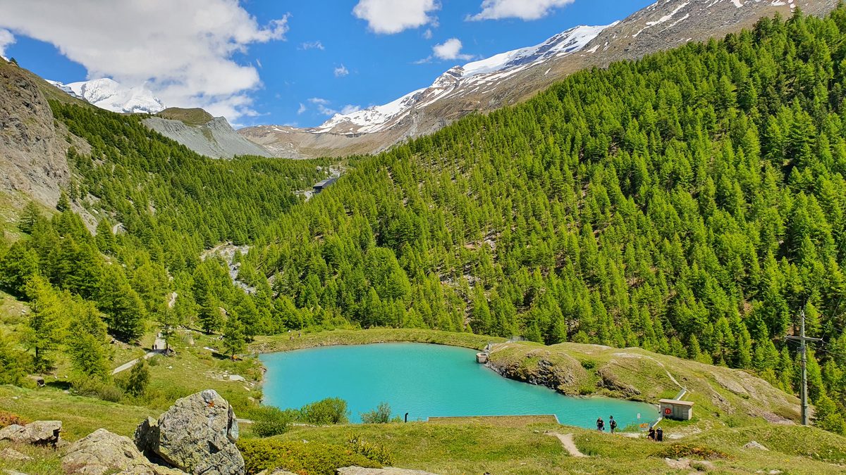
Photo: Markus Bernet, CC BY-SA 4.0 / Wikimedia Commons
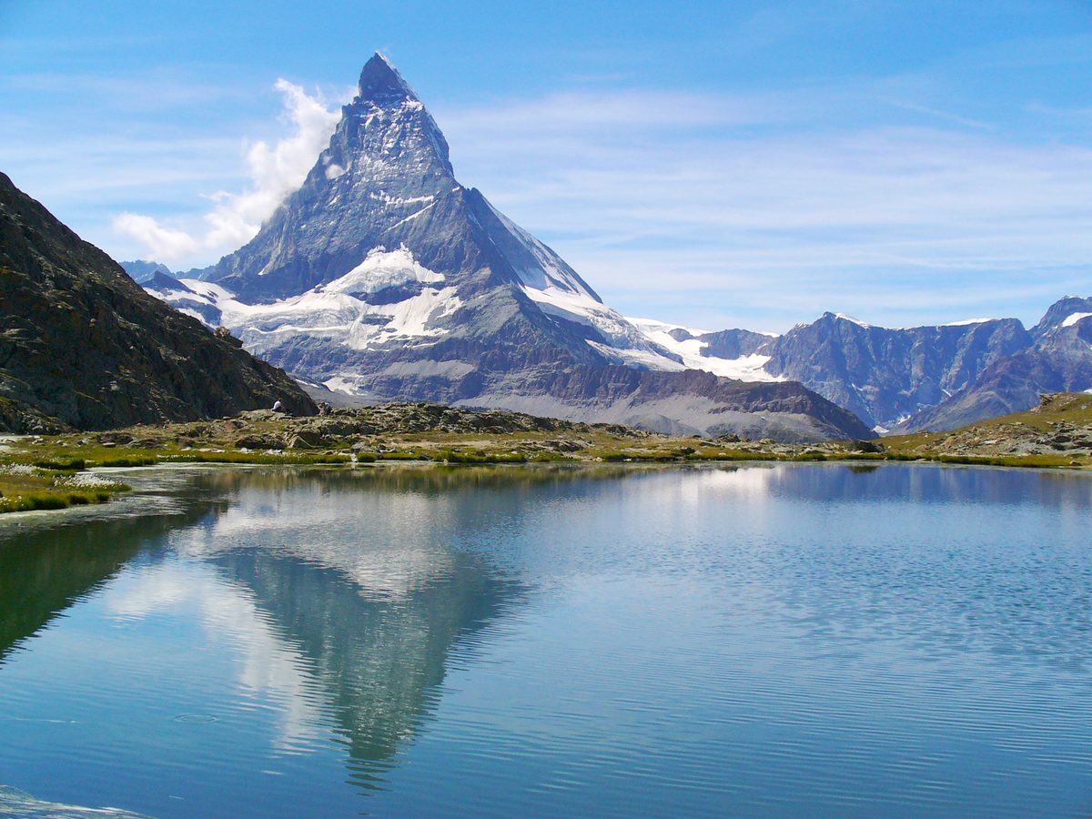
Photo: H. Zell, CC BY 3.0 / Wikimedia Commons
- 7Schwarzsee
- 8Stellisee
- 9Farmerhaus
- 10Fluhalp mountain restaurant
- 11Furri
- 12Hörnlihütte
- 13Restaurant Schwarzsee
- 14Simi
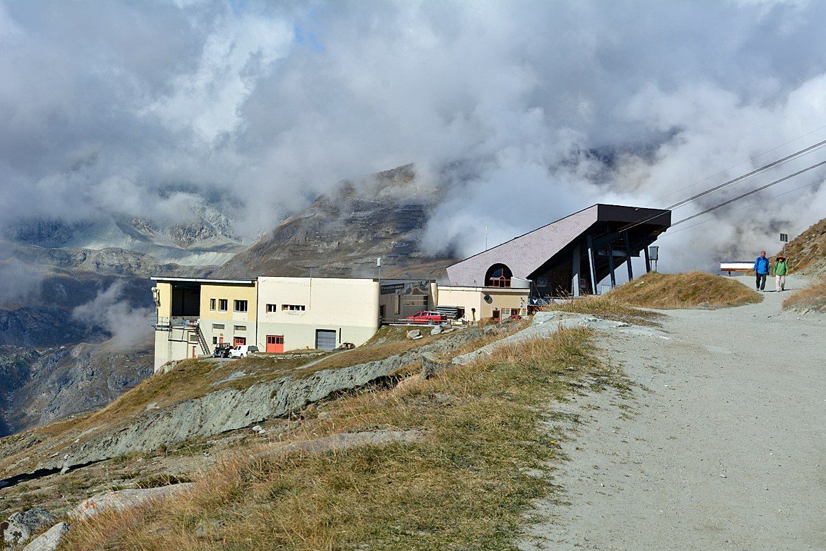
Photo: Andreas Faessler, CC BY-SA 4.0 / Wikimedia Commons
- 16Furi
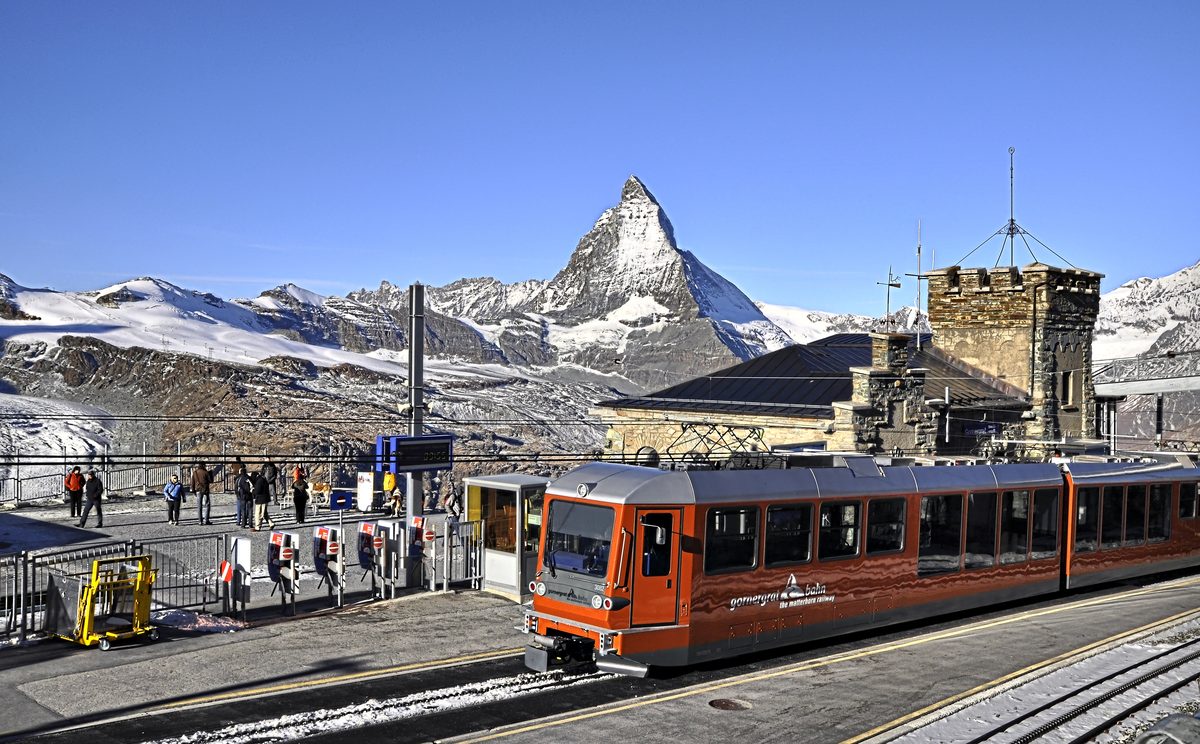
Photo: Nnn at jp Wikipedia, CC BY-SA 3.0 / Wikimedia Commons
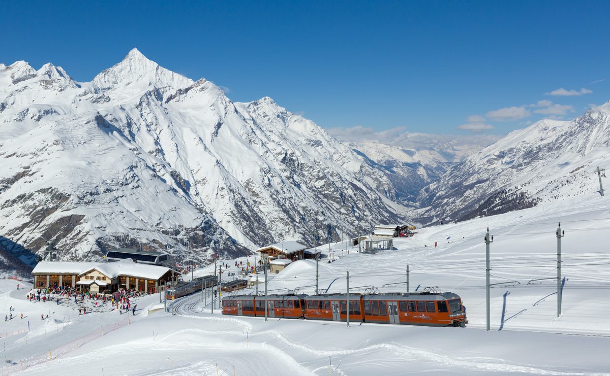
Photo: Kabelleger / David Gubler (http://www.bahnbilder.ch), CC BY-SA 3.0 / Wikimedia Commons
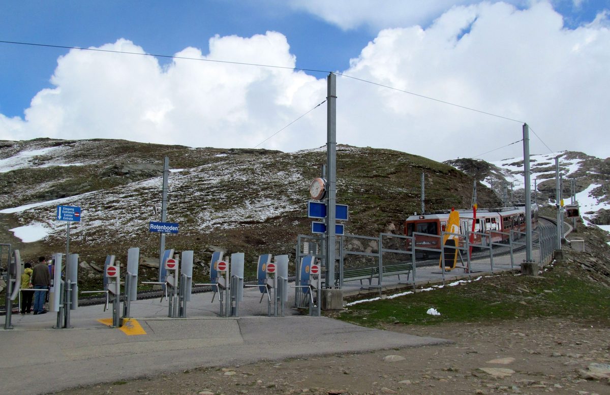
Photo: My another account (talk), CC0 / Wikimedia Commons
- 20Schwarzsee cable car station
- 21Sunnegga funicular
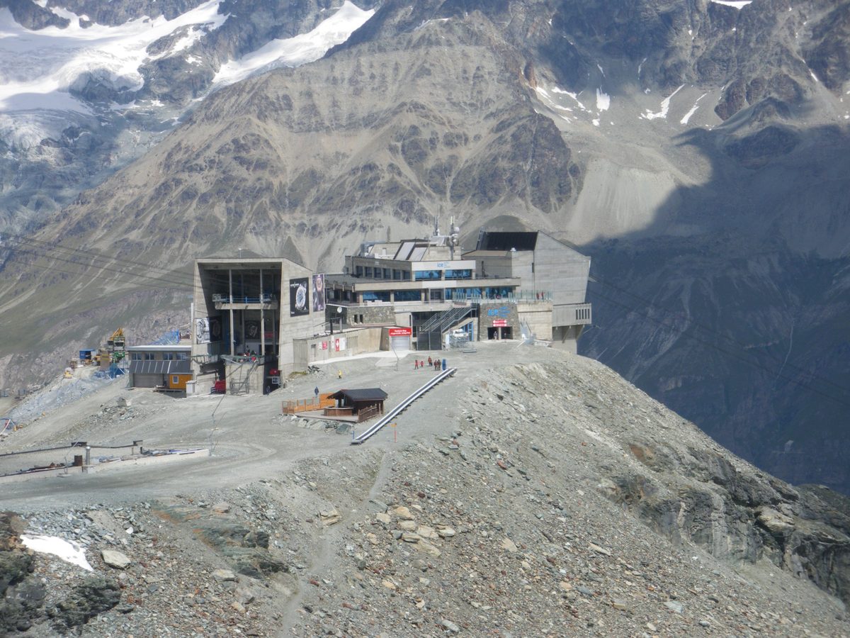
Photo: Globulariifolia, CC BY-SA 3.0 / Wikimedia Commons
Overview
Read more
Five routes, from a quiet road to a demanding alpine path. Zermatt Tourism rates the Matterhorn Glacier Trail T3: a marked mountain path over scree and rock shaped by the former glacier, past small lakes. The Furiweg is a quiet road, suitable for pushchairs and wheelchairs. SchweizMobil grades the 5-Seenweg medium (mountain hiking trail), Gornergrat Bahn the Riffelsee trail medium. Zermatt Tourism rates the Hörnliweg demanding, T4: sure-footed, no fear of heights, partly exposed.
Restaurants on the way, including the Restaurant Schwarzsee.
From December to April the Matterhorn Glacier Trail is a snowshoe tour, only with a qualified mountain guide. The 5-Seenweg (June – September, Zermatt Bergbahnen) and the Hörnliweg (July – September, Zermatt Tourism) are summer routes.
The Matterhorn Glacier Trail: June to September.
Sights
Gornergrat
Viewing platform at about 3,100 m with views of 29 peaks over 4,000 m; one stop above the start.Photo: Ximonic (Simo Räsänen), CC BY-SA 4.0 / Wikimedia Commons
Grindjisee
Small lake with moorland flora and rare flowers.Grünsee
Lake in a former glacial area; swimming allowed unless signs say otherwise.
Show all 8
Leisee
Last lake below Sunnegga; swimming allowed unless signs say otherwise, playground; shuttle up to Sunnegga.Moosjisee
Glacier-fed reservoir with milky water, used for power and snowmaking.Photo: Markus Bernet, CC BY-SA 4.0 / Wikimedia Commons
Riffelsee
In calm weather the Matterhorn is reflected in the lake.Photo: H. Zell, CC BY 3.0 / Wikimedia Commons
Schwarzsee
Small lake at 2,583 m; end of the Matterhorn Glacier Trail.Stellisee
Two boulders in the lake and the Matterhorn reflected in it.
Food & huts
Farmerhaus
Restaurant at Furi, at the start of the Furiweg.Fluhalp mountain restaurant
Mountain restaurant close to Stellisee.Furri
Restaurant at Furi, at the start of the Furiweg.
Show all 6
Hörnlihütte
Hut at the foot of the Hörnli Ridge; 150 beds, restaurant, reservation needed.Restaurant Schwarzsee
Hotel-restaurant at the Schwarzsee (2583 m), at the end of the Glacier Trail.Simi
Restaurant at Furi, at the start of the Furiweg.
Nearby
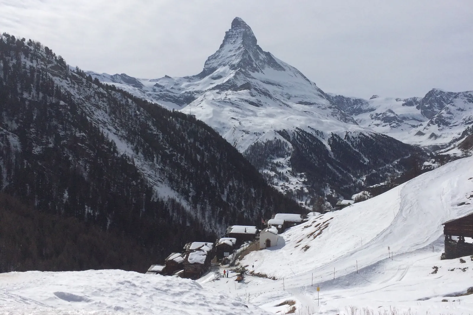 In winter: Zermatt ski area
Photo: Alexandrasophiewexler, CC BY-SA 4.0 / Wikimedia Commons
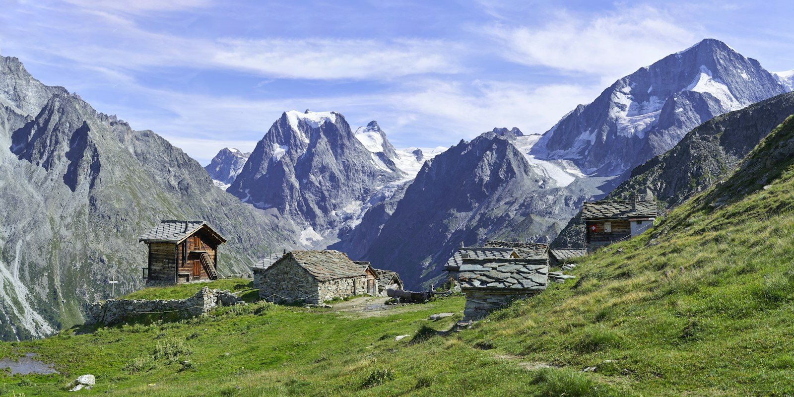 Arolla
Photo: Xavier von Erlach / Unsplash
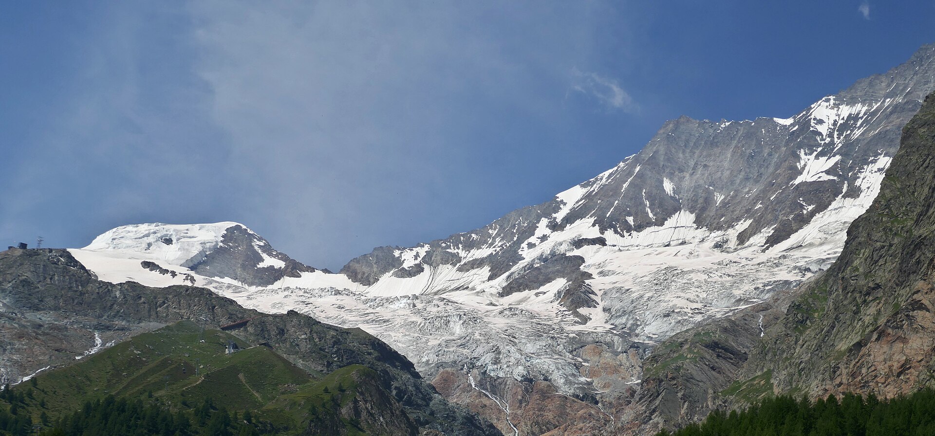 Saas-Fee
Photo: Tiia Monto, CC BY 4.0 / Wikimedia Commons
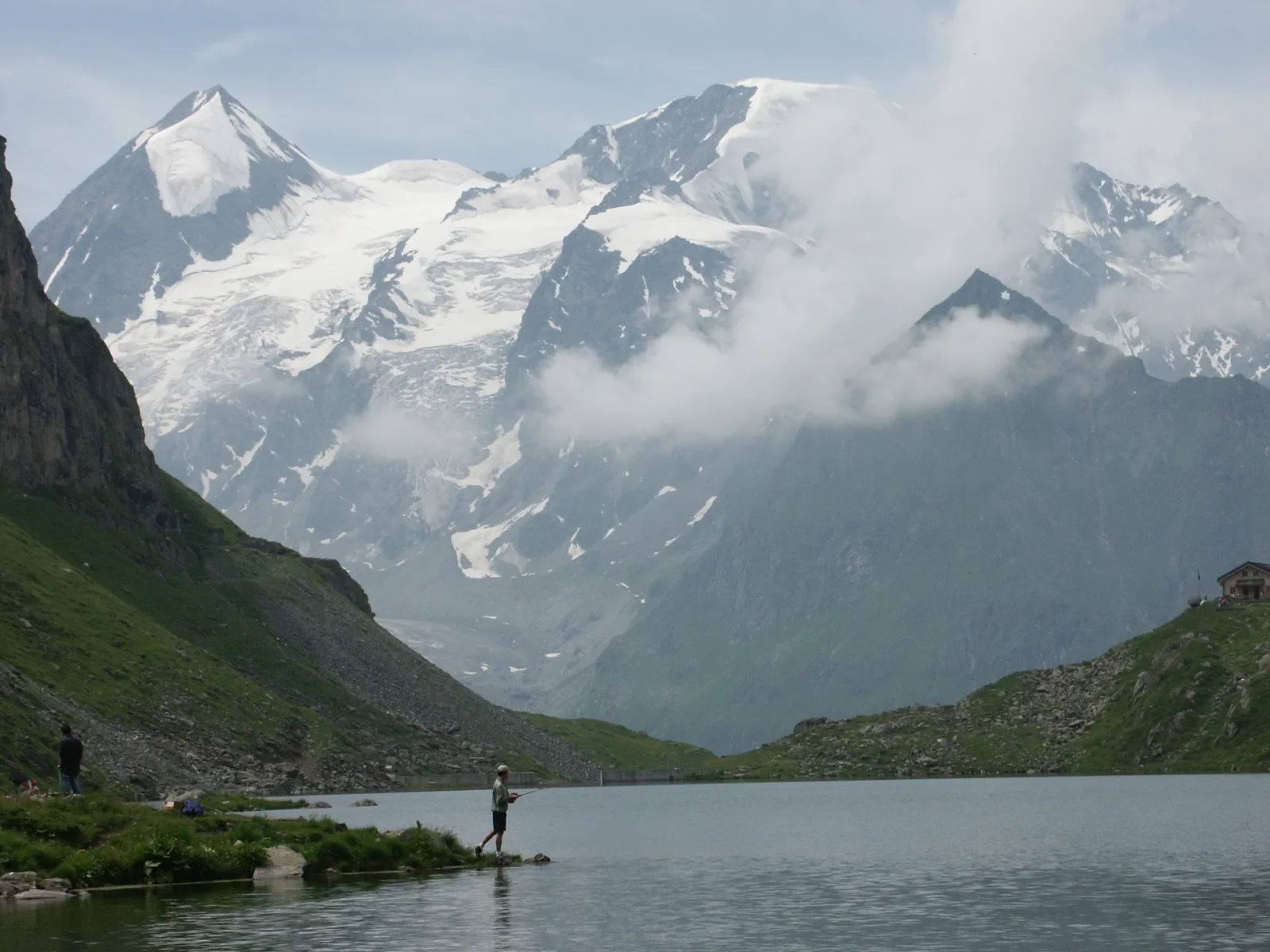 Val de Bagnes
Photo: Olivier Bruchez, CC BY-SA 2.0 / Wikimedia Commons
Sources (12) · last checked October 2026
Route data checked: October 2026
- Zermatt Tourismus — route, access, history
- Matterhorn Glacier Trail (No. 26) — route, distance, elevation, time, difficulty
- Furiweg (No. 51) — route, distance, elevation, time, difficulty, access
- 5-Seenweg: Blauherd – Sunnegga — route
- Riffelsee trail: Rotenboden – Riffelberg — route
- Hörnliweg: Schwarzsee – Hörnlihütte — route, distance, elevation, time, difficulty, rules
- Zermatt Bergbahnen AG — access, rules, season and opening
- Matterhorn Glacier Trail (No. 26) — route, time, difficulty, season and opening
- 5-Seenweg: Blauherd – Sunnegga — route, difficulty, season and opening
- Matterhorn Gotthard Bahn — access
- Air Zermatt — emergency numbers
- Deutscher Alpenverein (alpenverein.de) — emergency numbers
- ch.ch (Swiss authorities) — emergency numbers
- SchweizMobil — route, track, distance, elevation, time, difficulty
- Gornergrat Bahn — route, distance, elevation, time, difficulty
- Gornergrat Bahn AG (gornergrat.ch) — season and opening
- Hörnlihütte — time, rules
- BRouter (OpenStreetMap) — track
- swisstopo — elevation