Hiking route
Lauterbrunnen – Stechelberg valley walk
Lauterbrunnen · Bernese Oberland · Switzerland
Easy
Rated by Lauterbrunnen Tourismus
Lauterbrunnen or by car: Car park Lauterbrunnen
- Distance
- 6.8km
- Duration
- 1:45h
- Ascent
- 117m
- Descent
- 3m
Loading map…
Status today
- No closures on record.Official route page ↗
Elevation profile
↑ 117 m · ↓ 3 m
About the route
From Lauterbrunnen station along the valley floor past the Staubbach Falls and the Trümmelbach Falls, after the Breithorn campsite across the Weisse Lütschine to Stechelberg. Back the same way or by PostBus 141.
More routes in Lauterbrunnen Valley
Nearby
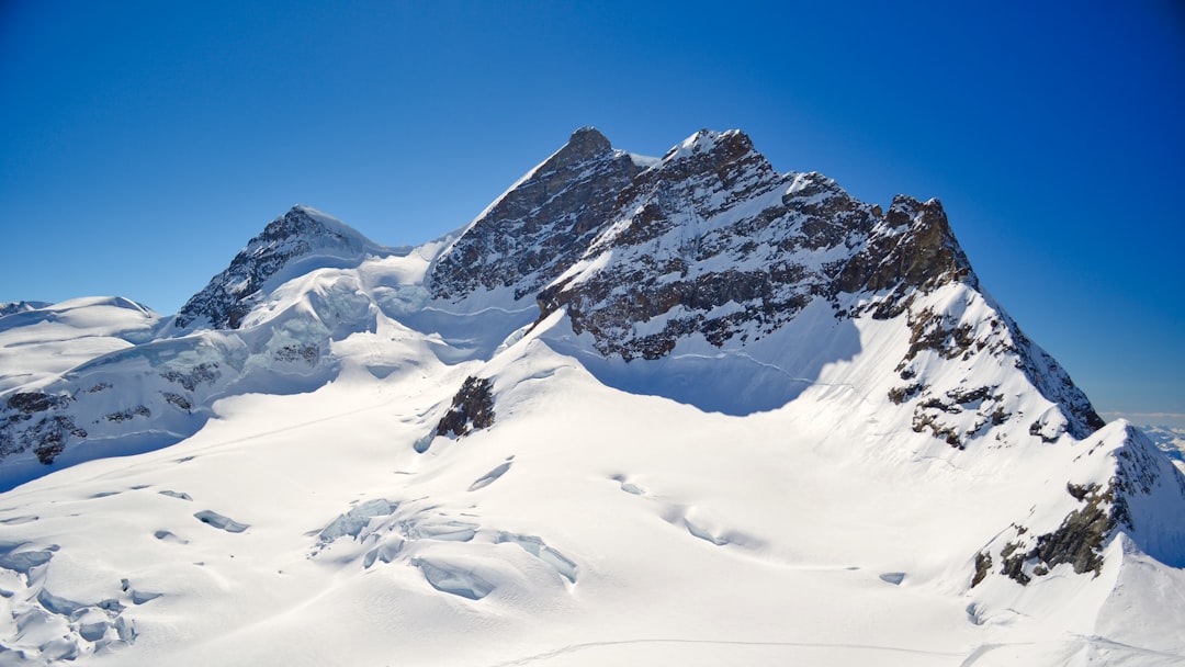 Jungfraujoch Top of Europe
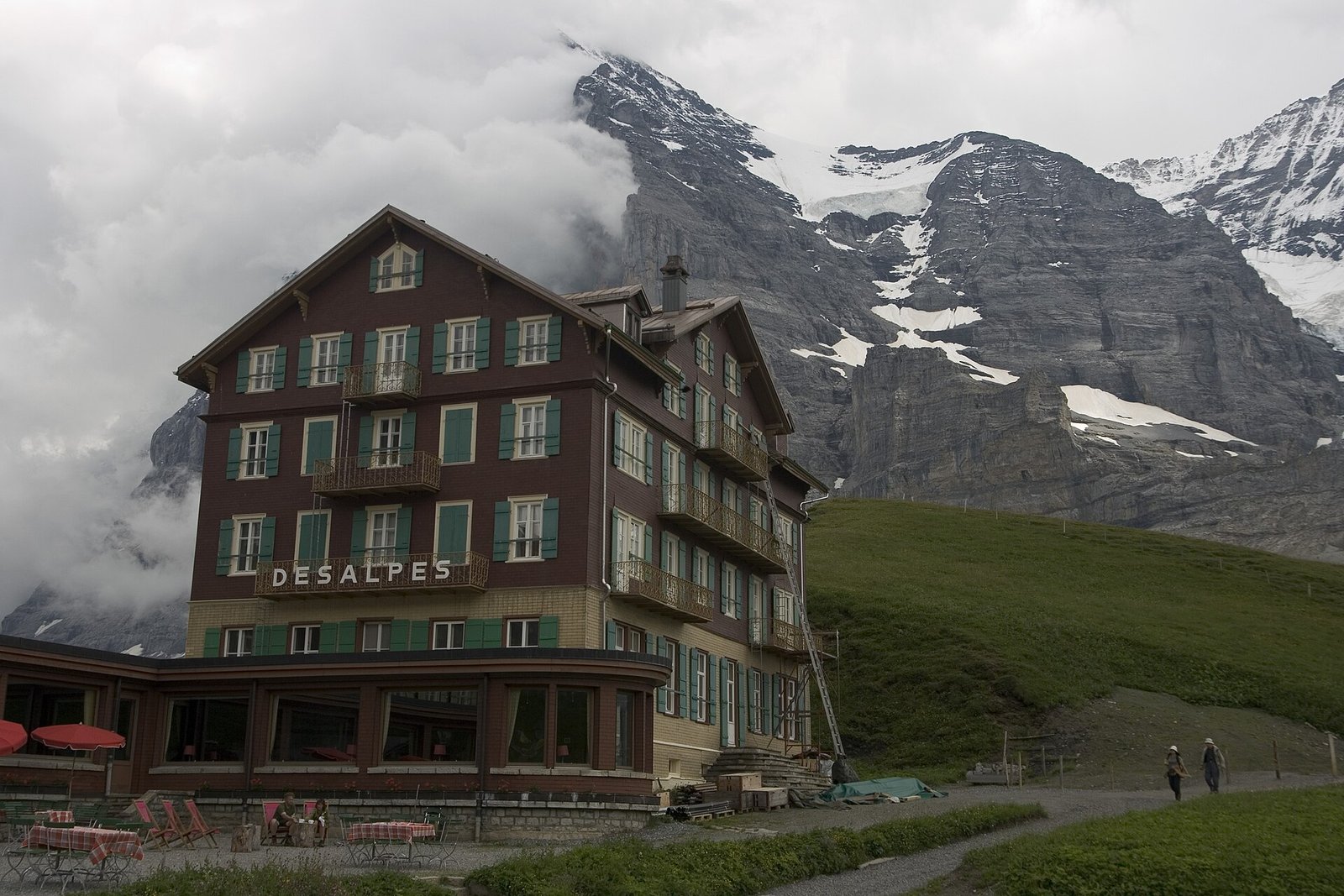 Via Alpina: Grindelwald – Kleine Scheidegg – Lauterbrunnen
Photo: Maksym Kozlenko, CC BY-SA 4.0 / Wikimedia Commons
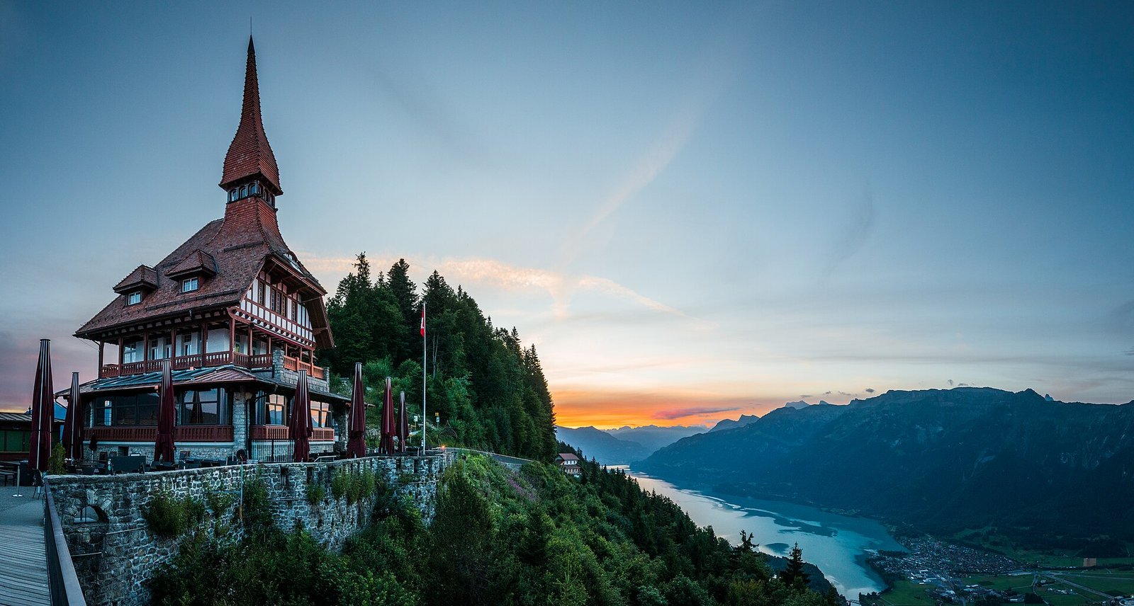 Interlaken: Harder Kulm, Lake & Town
Photo: Deralpinbergsteiger, CC BY-SA 4.0 / Wikimedia Commons
Sources (8) · last checked October 2026
Route data checked: October 2026
- Jungfraubahnen — route, access, season and opening
- Jungfrau Region Tourismus — rules, season and opening
- Schilthornbahn — difficulty, access, season and opening
- Mürren Tourismus
- Deutscher Alpenverein (alpenverein.de) — emergency numbers
- ch.ch (Swiss authorities) — emergency numbers
- Lauterbrunnen Tourismus — route, distance, elevation, time, difficulty, access
- BRouter (OpenStreetMap) — track