Hiking route
Mountain View Trail Grütschalp – Mürren
Lauterbrunnen · Bernese Oberland · Switzerland
Moderate
Rated by Schilthornbahn
Grütschalp or by car: Car park Lauterbrunnen
- Distance
- 5.1km
- Duration
- 2:00h
- Ascent
- 492m
- Descent
- 68m
Status today
- Jungfraubahnen closed for maintenance until 6 Nov
Elevation profile
Along the route
- 1
Cable car Lauterbrunnen – Grütschalp
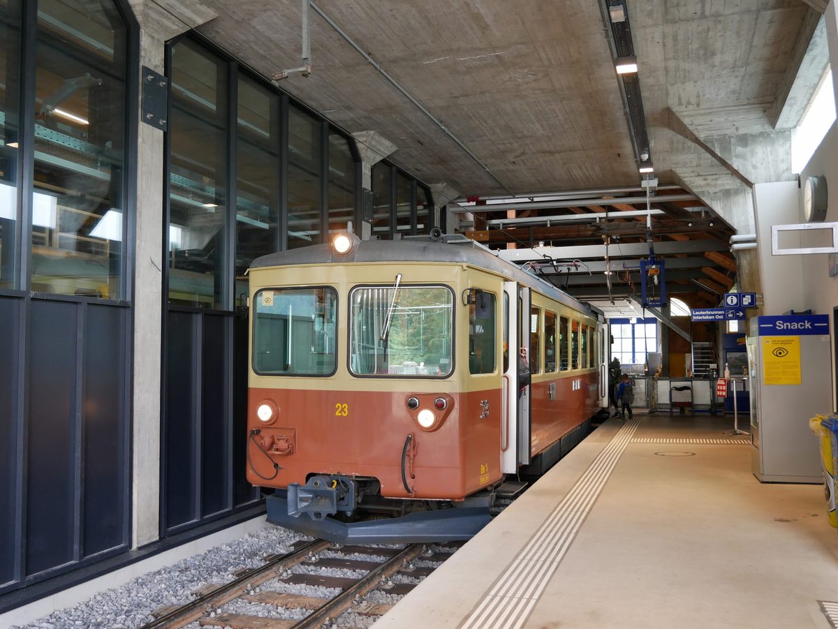
Photo: Herbert Ortner, CC BY 4.0 / Wikimedia Commons
- 2
Panorama Restaurant Allmendhubel
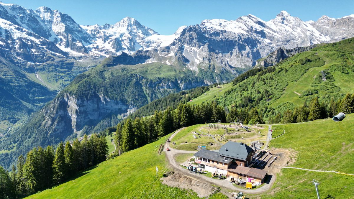
Photo: Bob Tan, CC BY-SA 4.0 / Wikimedia Commons
- 3
Allmendhubel funicular
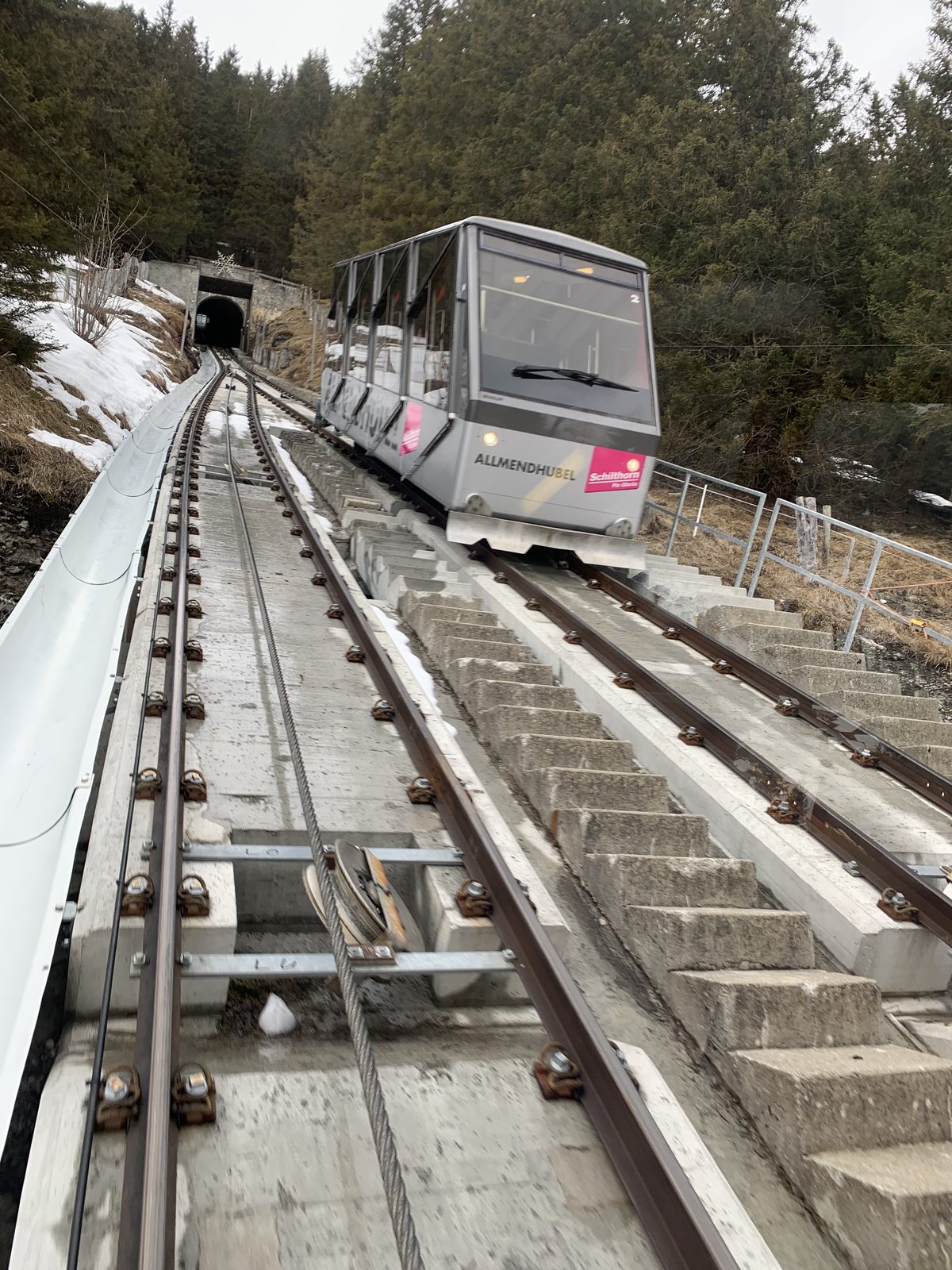
Photo: Chrisrail09, CC BY-SA 4.0 / Wikimedia Commons
About the route
Ends at the Allmendhubel · funicular down to Mürren. From Grütschalp station about 500 m along the path towards Mürren, then up through a forest and over alpine meadows to the Allmendhubel, facing the Eiger, Mönch and Jungfrau and the inner Lauterbrunnen valley. Instead of the funicular you can walk down via the Blumental.
More routes in Lauterbrunnen Valley
Nearby
 Jungfraujoch Top of Europe
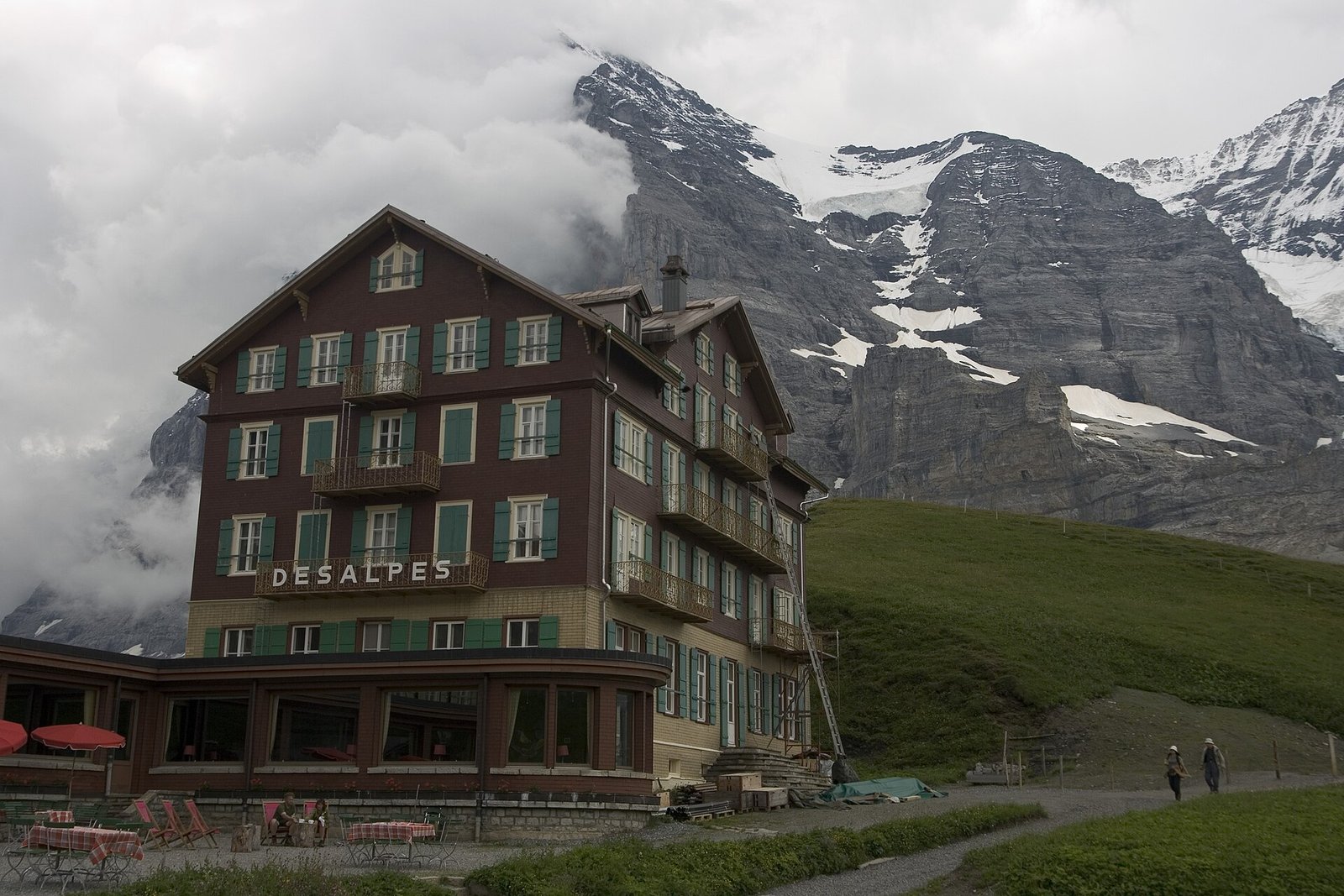 Via Alpina: Grindelwald – Kleine Scheidegg – Lauterbrunnen
Photo: Maksym Kozlenko, CC BY-SA 4.0 / Wikimedia Commons
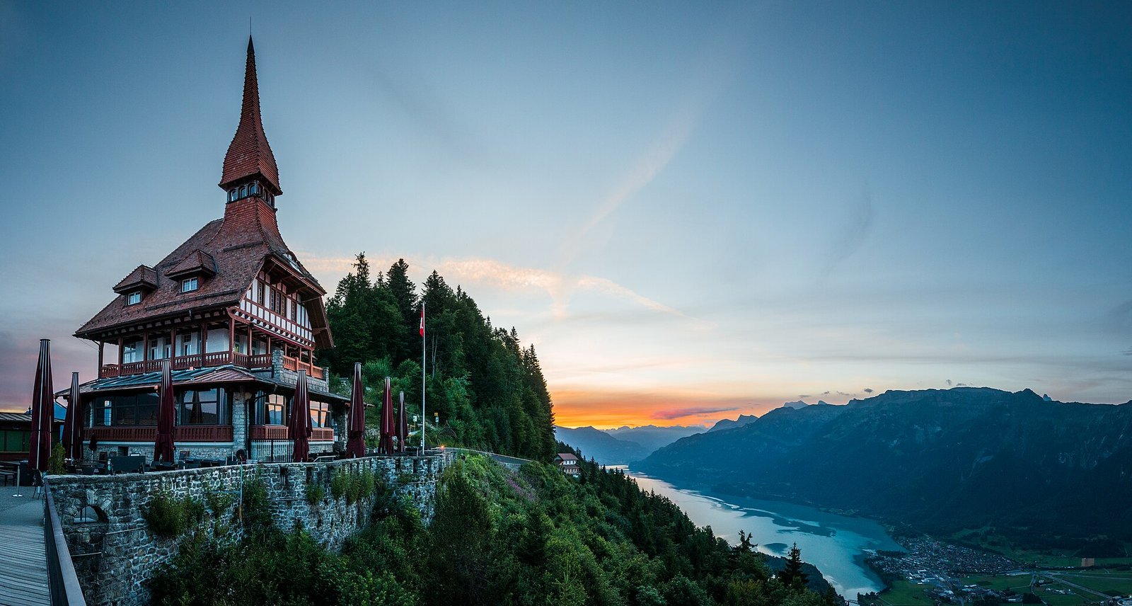 Interlaken: Harder Kulm, Lake & Town
Photo: Deralpinbergsteiger, CC BY-SA 4.0 / Wikimedia Commons
Sources (8) · last checked October 2026
Route data checked: October 2026
- Jungfraubahnen — route, access, season and opening
- Jungfrau Region Tourismus — rules, season and opening
- Schilthornbahn — difficulty, access, season and opening
- Mürren Tourismus
- Deutscher Alpenverein (alpenverein.de) — emergency numbers
- ch.ch (Swiss authorities) — emergency numbers
- Lauterbrunnen Tourismus — route, distance, elevation, time, difficulty, access
- BRouter (OpenStreetMap) — track