Photo: Tiia Monto, CC BY-SA 3.0 / Wikimedia Commons
About this guide
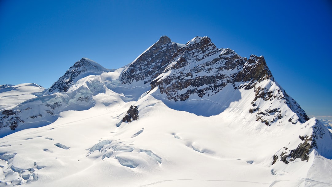
The Matterhorn Glacier Trail (No. 26) leads through the landscape between rock and ice that the Furgg and Theodul glaciers have left behind: since the Little Ice Age around 1850 they have receded by more than three kilometres. Information boards along the way explain glacier retreat and what it means for plants, animals and people, with views of the Matterhorn.
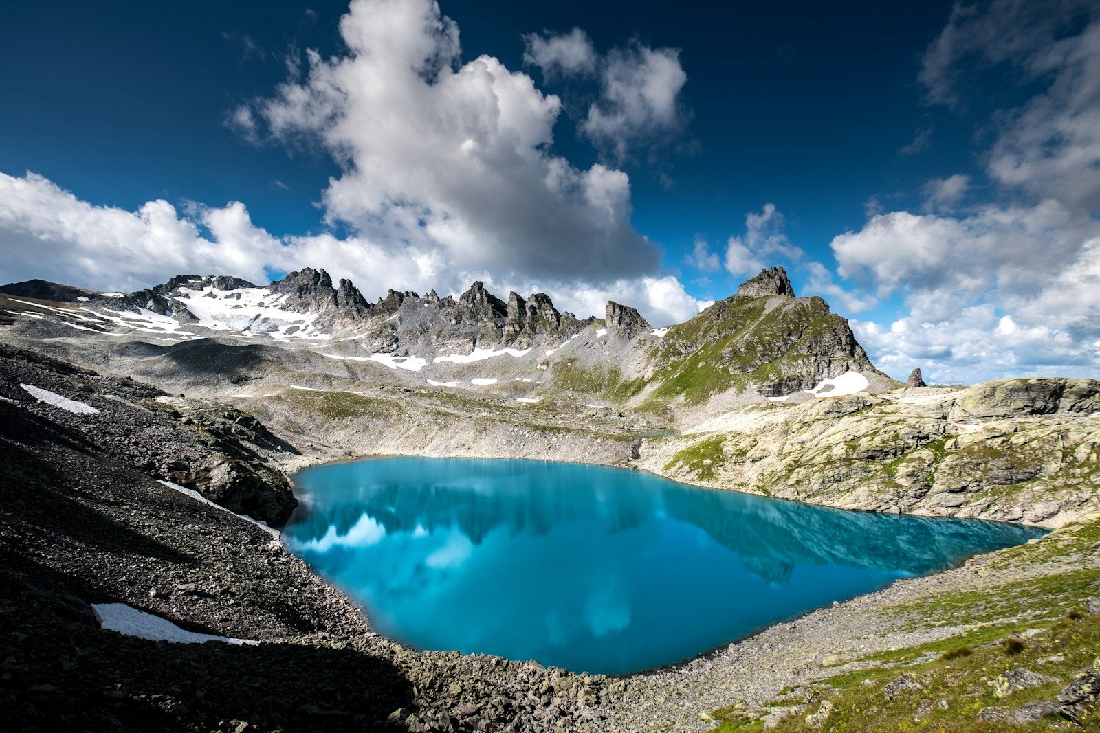
The trail starts at the Trockener Steg cable car station at 2,939 m and crosses scree and rock, past several small lakes and via Hirli, to Schwarzsee at 2,583 m, where the cable car goes back down to Zermatt. Lower down, the Furiweg (No. 51) follows a quiet road through larches and stone pines from Furi down to Zermatt.
- Difficulty
One of the more demanding trails in the Zermatt mountains: a marked mountain path over scree and rock shaped by the former glacier, past small lakes. The Furiweg is a quiet road, suitable for pushchairs and wheelchairs.
- Season
The Matterhorn Glacier Trail: June to September.
- Getting there
By cable car from Zermatt to Trockener Steg and back from Schwarzsee; one combined ticket covers both trips. The Furiweg starts at the Furi cable car station.
- Winter
From December to April the Matterhorn Glacier Trail is a snowshoe tour, only with a qualified mountain guide.
- Food & drink
Restaurants on the way, including the Restaurant Schwarzsee.
Map, routes and places
Trails
Route data checked: October 2026 ·
Places
Sights & viewpoints
Getting there & parking
Plan your trip

Cable car station above Zermatt; start of the Furiweg down to the village.
Cable car station at 2,939 m; start of the Matterhorn Glacier Trail.
Book guided experiences
Related guides
Sources (3) · last checked October 2026
Route data checked: October 2026