Hiking route
Morteratsch – Chamanna da Boval
Morteratsch · Pontresina · Graubünden · Switzerland
Moderate
Rated by Engadin Tourismus
Morteratsch or by car: Morteratsch car park
- Distance
- 10.6km
- Duration
- 3:40h
- Ascent
- 597m
- Descent
- 595m
Loading map…
Status today
- No closures on record.Official route page ↗
Elevation profile
↑ 597 m · ↓ 595 m
1234
solid: there · dashed: back the same wayAlong the route
- 1
Hotel & Restaurant Morteratsch
- 2
Morteratsch station
- 3
Chünetta viewpoint
- 4
Chamanna da Boval
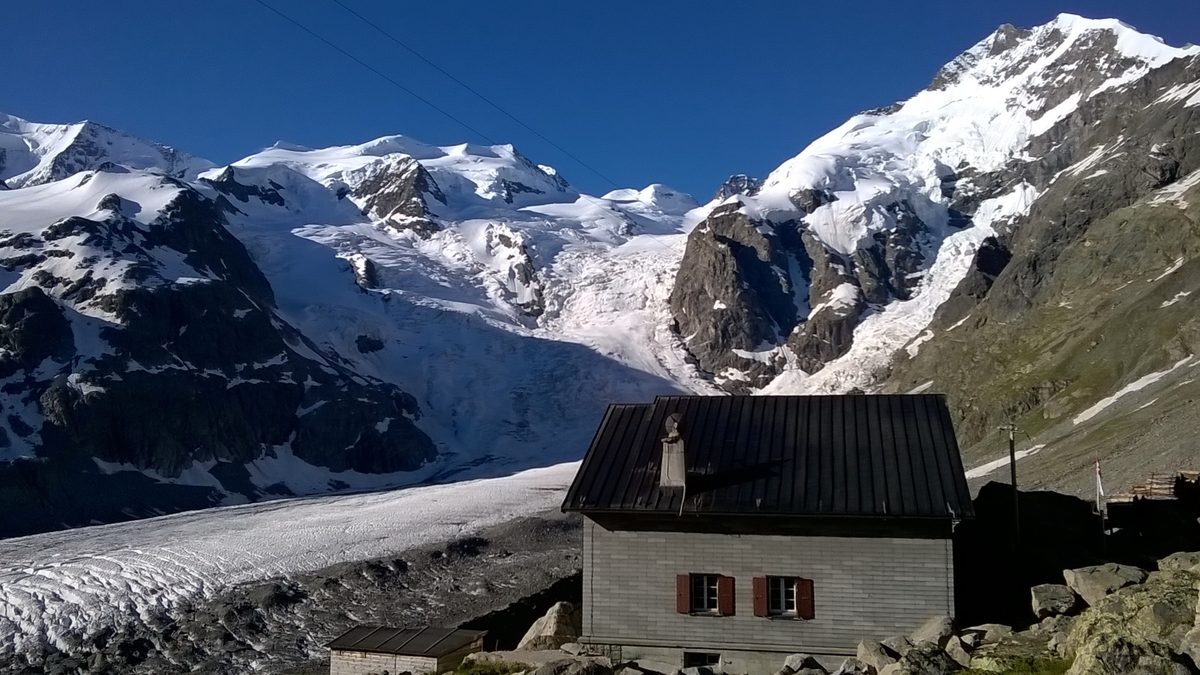
Photo: FkMohr, Fotografin Supakon Mohr, CC BY-SA 3.0 de / Wikimedia Commons
About the route
From Morteratsch station, partly on and behind the moraine towards the glacier, with views of the glacier tongue; below the hut over rock, then steeply over rock and grass to the Chamanna da Boval. Back the same way.
Nearby
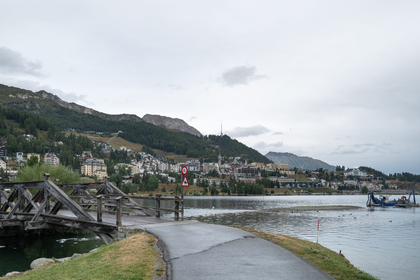 St. Moritz
Photo: Giorgio Galeotti, CC BY-SA 4.0 / Wikimedia Commons
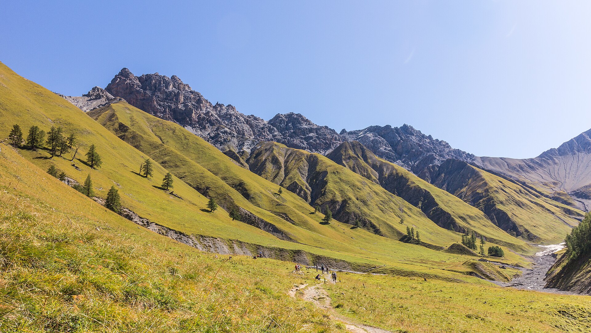 Swiss National Park
Photo: Agnes Monkelbaan, CC BY-SA 4.0 / Wikimedia Commons
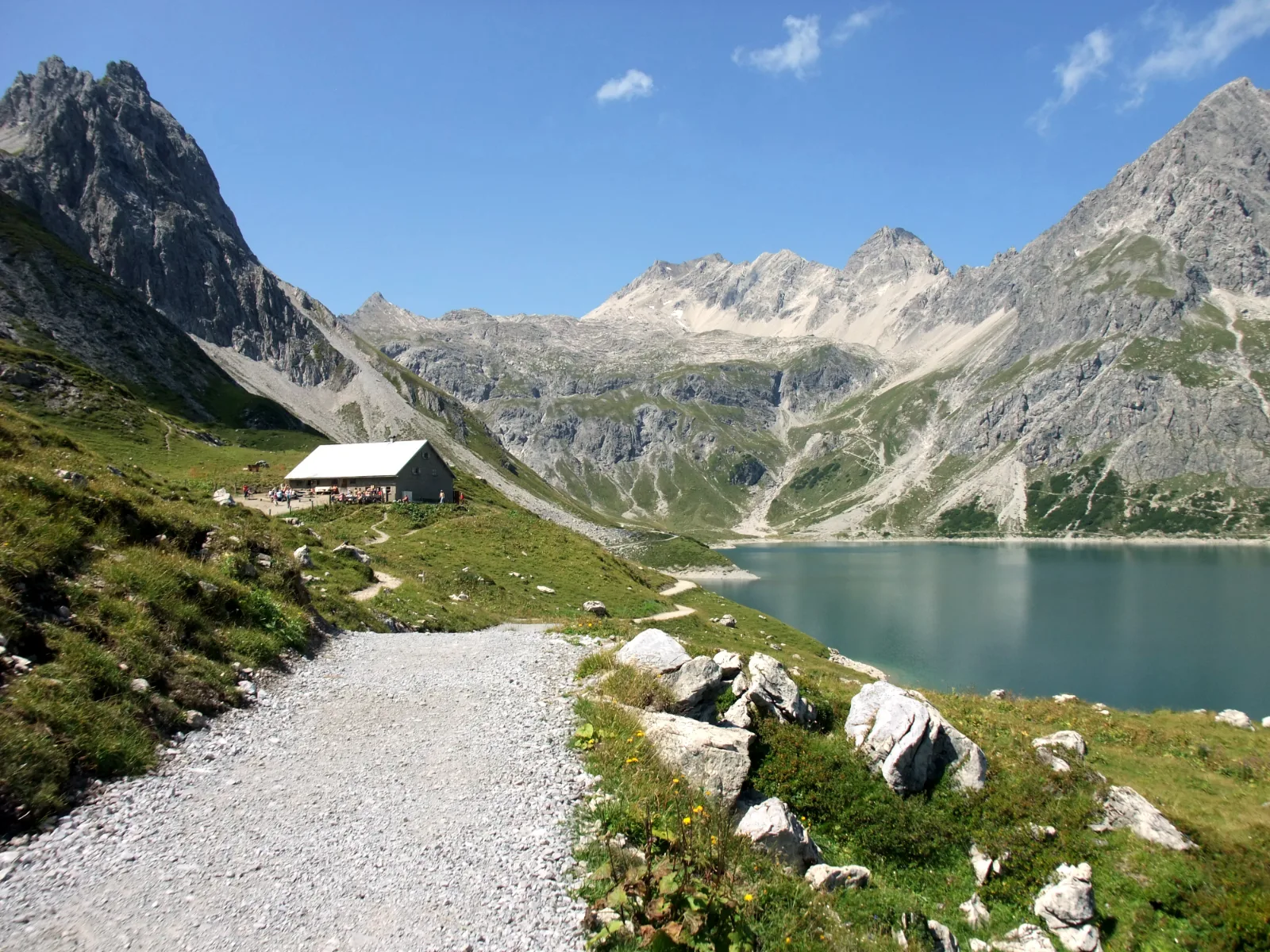 Lünersee
Photo: Nikater, Public domain / Wikimedia Commons
Sources (7) · last checked October 2026
Route data checked: October 2026
- Engadin Tourismus — route, access, rules, season and opening, history
- Pontresina mountain guides (govertical) — rules
- Graubünden Tourism — rules
- Deutscher Alpenverein (alpenverein.de) — emergency numbers
- ch.ch (Swiss authorities) — emergency numbers
- Engadin Tourismus (graubuenden.ch) — route, distance, elevation, time
- BRouter (OpenStreetMap) — track