Hiking route
Heuberg round from the gondola
Kandersteg · Berner Oberland · Switzerland
Moderate
Rated by Berner Wanderwege
Kandersteg – Oeschinen Oeschinen (Bergstation) or by car: Oeschinensee gondola car park (P1–P3), Kandersteg
- Distance
- 9.2km
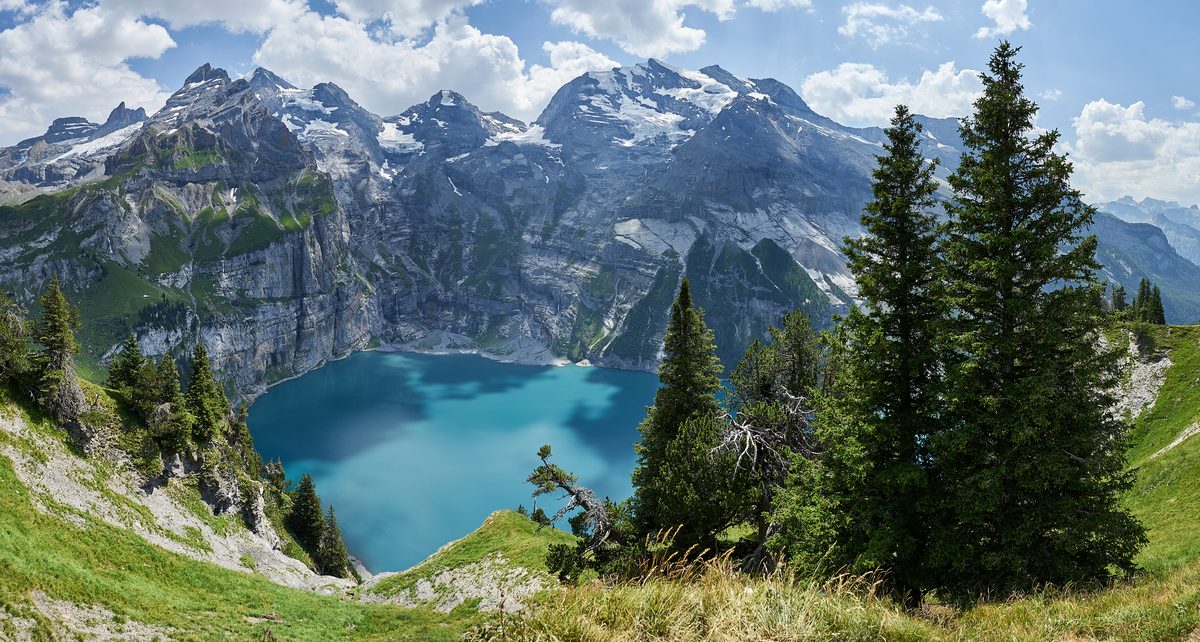
Photo: Günter Seggebäing, Coesfeld, CC BY-SA 3.0 / Wikimedia Commons
Status today
- Kandersteg – Oeschinen runs until 8 Nov, again from 14 Nov
- Underbärgli closed; reopening date not yet published
Map and elevation profile
Along the route
- 1
Heuberg viewpoint
- 2
Berghaus Oberbärgli
- 3
Underbärgli
- 4
Mountain restaurant Oeschinensee
- 5
Restaurant Bergstübli
About the route
The operator's route G on Berner Wanderwege's line: from the top station towards Läger, up the white-red-white mountain trail to the Heuberg viewpoint, along to Oberbärgli and down past Underbärgli to the end of the lake. Return to the gondola on the operator's Panoramaweg (route D): the official descent to Kandersteg uses a road closed to walkers. Stay on the marked trail; the south shore is a permanent restricted zone.
More routes in Oeschinensee
Nearby
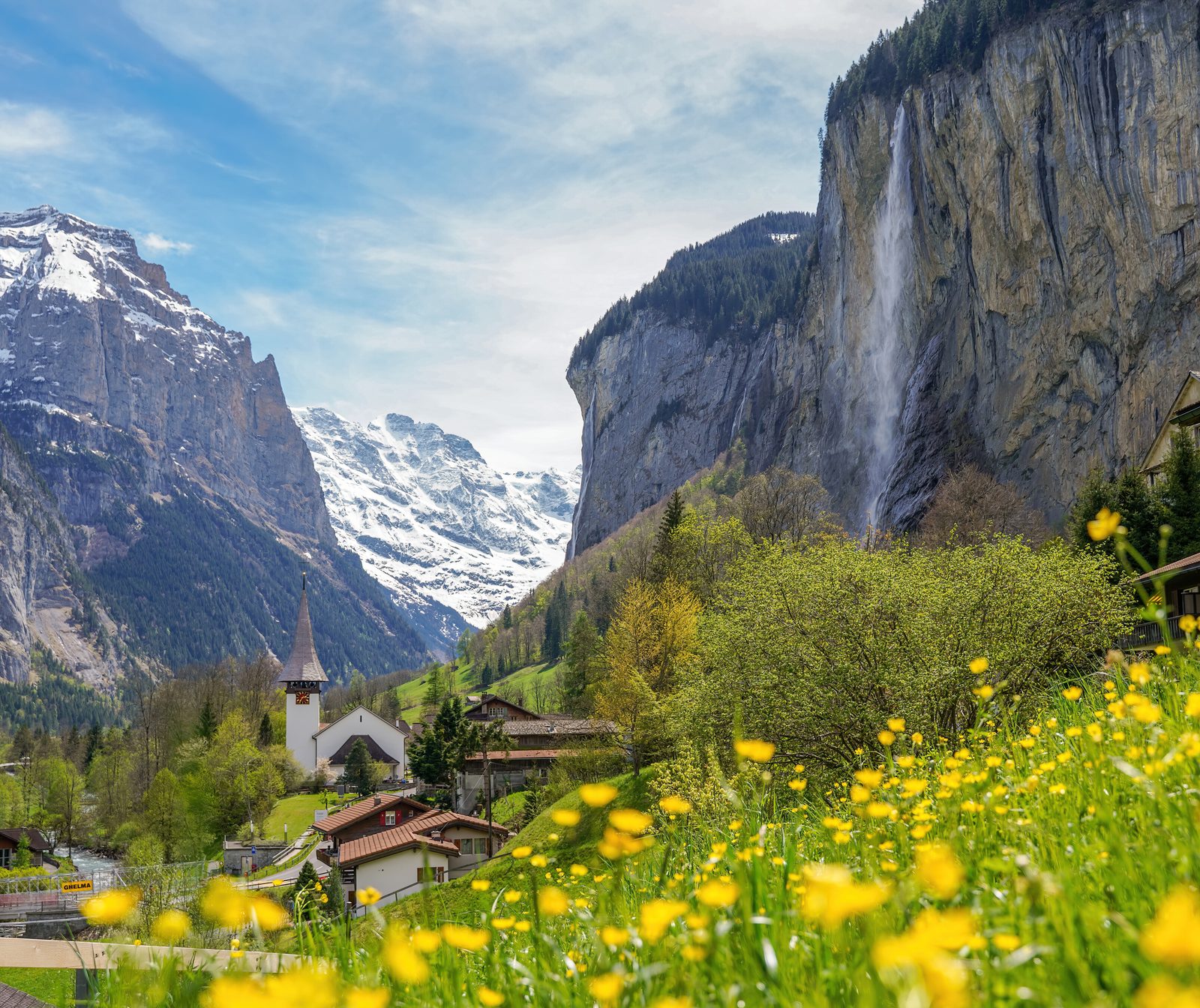 Lauterbrunnen Valley
Photo: Giles Laurent, CC BY-SA 4.0 / Wikimedia Commons
 Jungfraujoch Top of Europe
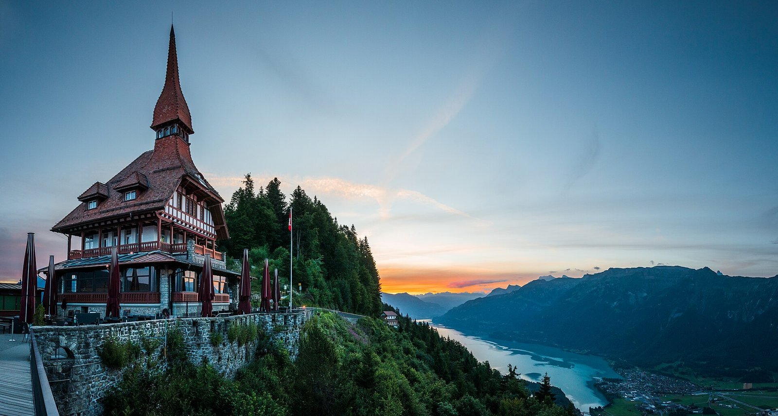 Interlaken: Harder Kulm, Lake & Town
Photo: Deralpinbergsteiger, CC BY-SA 4.0 / Wikimedia Commons
Sources (7) · last checked October 2026
Route data checked: October 2026
- Gemeinde Kandersteg — access, rules
- Gondelbahn Kandersteg-Oeschinensee AG — route, difficulty, access, season and opening, history
- Panoramaweg: gondola top station to the lake — route, time, difficulty, access, season and opening
- Heuberg round from the gondola — route, difficulty, access
- Winter path via Läger — route, time, difficulty, rules, season and opening
- Berner Wanderwege (interlaken.swiss) — route, difficulty, history
- swisstopo — elevation, difficulty, access
- Deutscher Alpenverein (alpenverein.de) — emergency numbers
- ch.ch (Swiss authorities) — emergency numbers
- BRouter (OpenStreetMap) — track, distance