Hiking route
Panoramaweg: gondola top station to the lake
Kandersteg · Berner Oberland · Switzerland
EasySAC T1
Rated by Gondelbahn Kandersteg-Oeschinensee AG
Kandersteg – Oeschinen Oeschinen (Bergstation) or by car: Oeschinensee gondola car park (P1–P3), Kandersteg
- Duration
- 0:35h
Loading map…
Status today
- Kandersteg – Oeschinen runs until 8 Nov, again from 14 Nov
Elevation profile
Along the route
- 1
Restaurant Bergstübli
- 2
Mountain restaurant Oeschinensee
About the route
The operator's Panoramaweg (route D) from the Oeschinen top station via Läger to the lake shore. In summer it crosses flowering alpine meadows, and a lookout on the way looks out over the lake and the peaks. The operator gives about 35 minutes and marks the path suitable for strollers.
More routes in Oeschinensee
Nearby
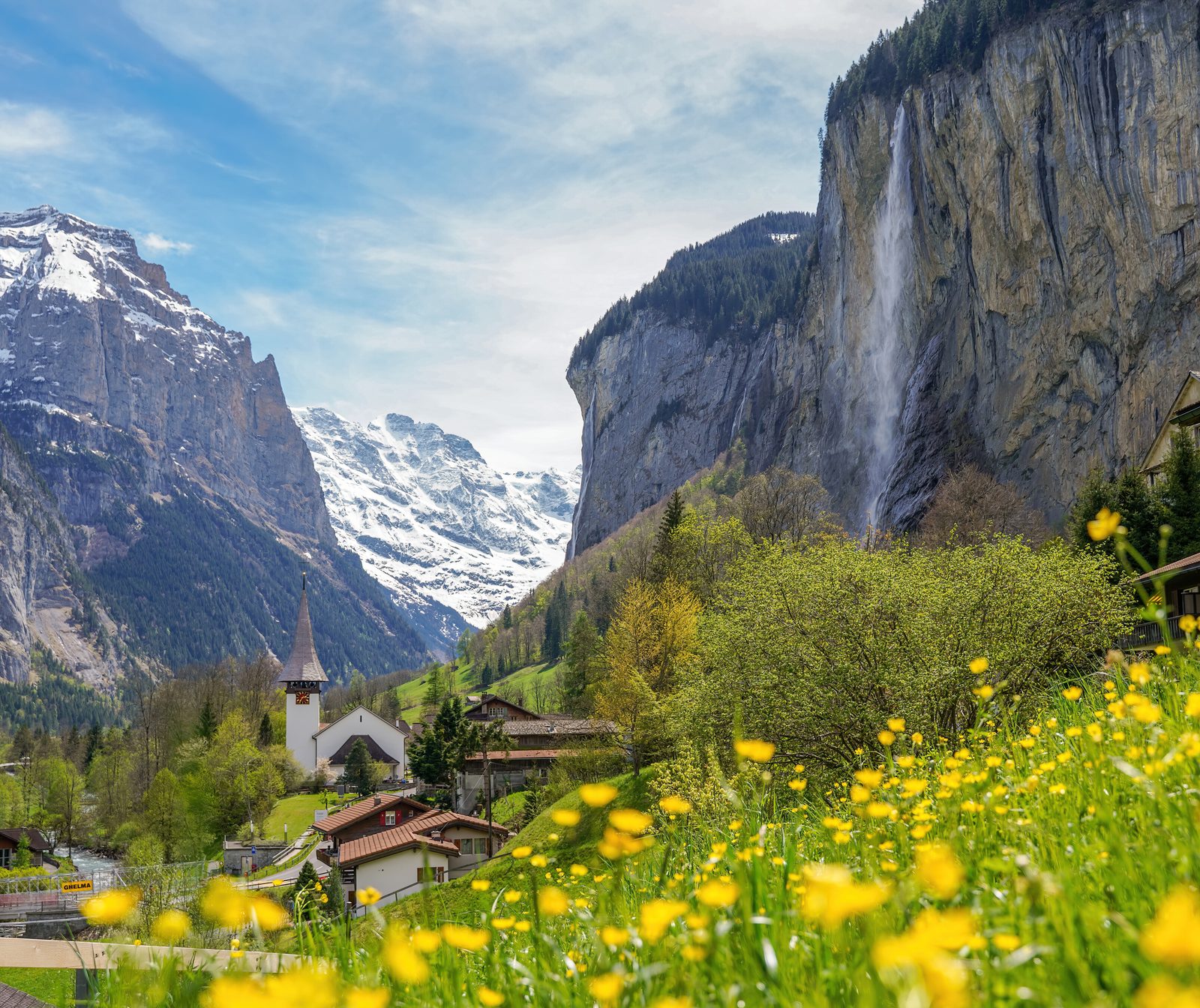 Lauterbrunnen Valley
Photo: Giles Laurent, CC BY-SA 4.0 / Wikimedia Commons
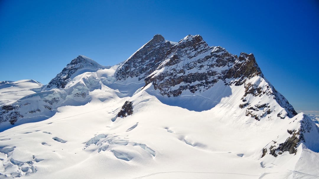 Jungfraujoch Top of Europe
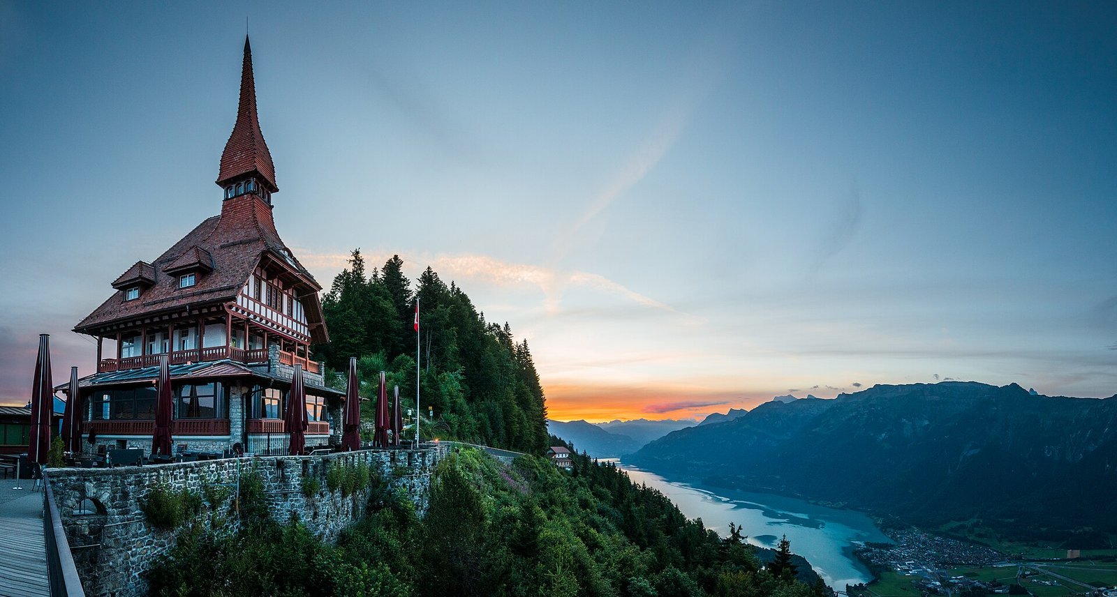 Interlaken: Harder Kulm, Lake & Town
Photo: Deralpinbergsteiger, CC BY-SA 4.0 / Wikimedia Commons
Sources (7) · last checked October 2026
Route data checked: October 2026
- Gemeinde Kandersteg — access, rules
- Gondelbahn Kandersteg-Oeschinensee AG — route, difficulty, access, season and opening, history
- Panoramaweg: gondola top station to the lake — route, time, difficulty, access, season and opening
- Heuberg round from the gondola — route, difficulty, access
- Winter path via Läger — route, time, difficulty, rules, season and opening
- Berner Wanderwege (interlaken.swiss) — route, difficulty, history
- swisstopo — elevation, difficulty, access
- Deutscher Alpenverein (alpenverein.de) — emergency numbers
- ch.ch (Swiss authorities) — emergency numbers
- BRouter (OpenStreetMap) — track, distance