Hiking route
Lac de Louvie from Fionnay
Verbier · Valais · Switzerland
Moderate
Fionnay
- Distance
- 7.7km
- Duration
- 3:40h
- Ascent
- 715m
- Descent
- 715m
Loading map…
Status today
- No closures on record.Official route page ↗
Elevation profile
↑ 715 m · ↓ 715 m
12
solid: there · dashed: back the same wayAlong the route
- 1
Fionnay
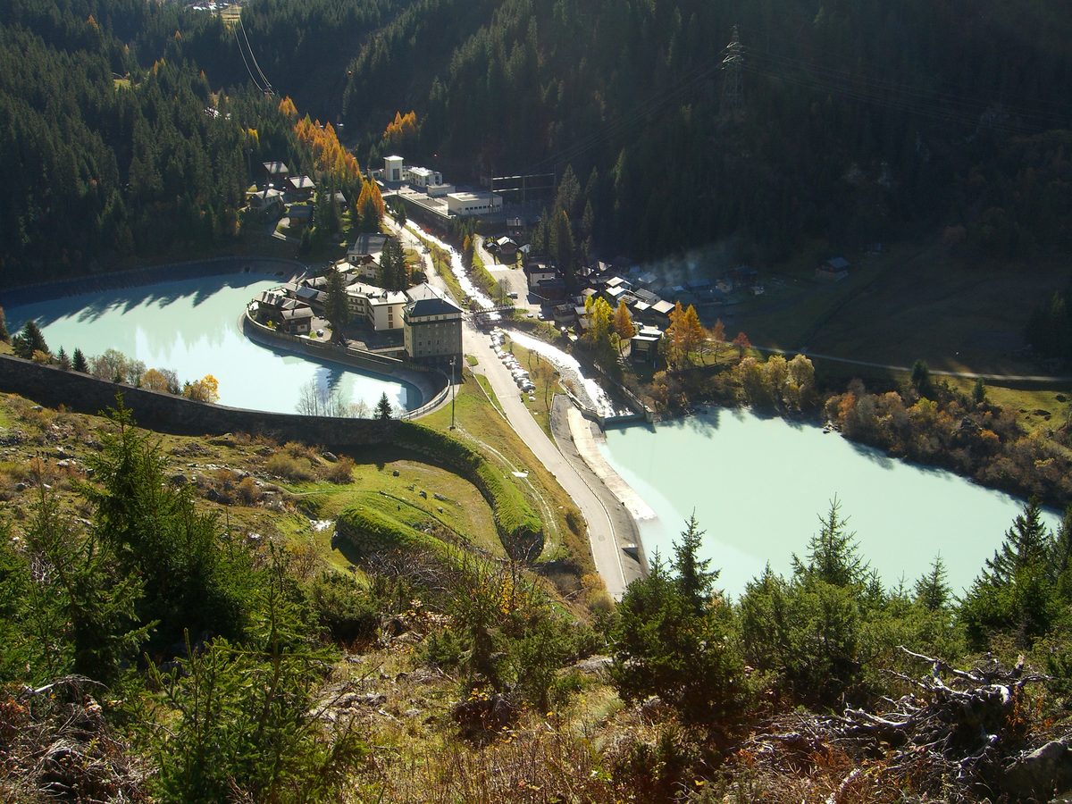
Photo: Olivier Bruchez, CC BY-SA 2.0 / Wikimedia Commons
- 2
Cabane de Louvie
About the route
From Fionnay the path climbs gradually to the Lac de Louvie and the Cabane de Louvie; back the same way. About 2 h 15 up and 1 h 25 back.
Nearby
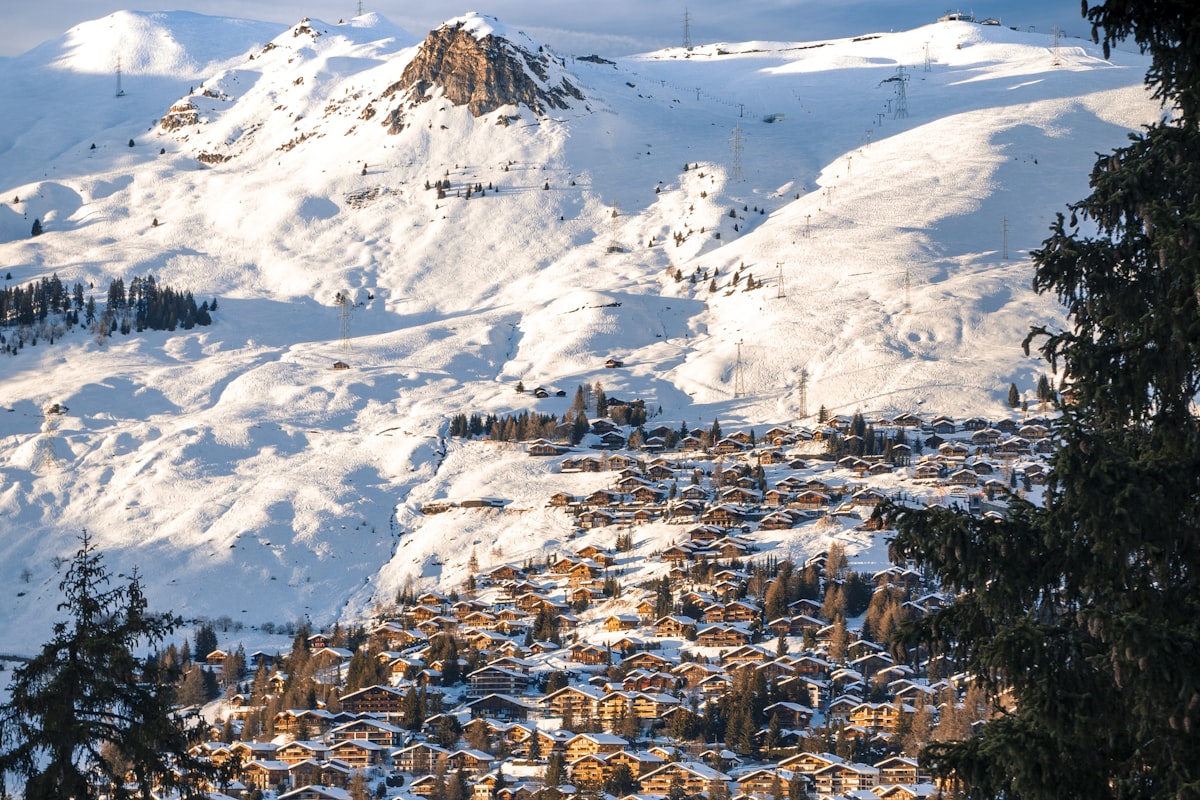 In winter: Verbier ski area
Photo: Sebastian Staines / Unsplash
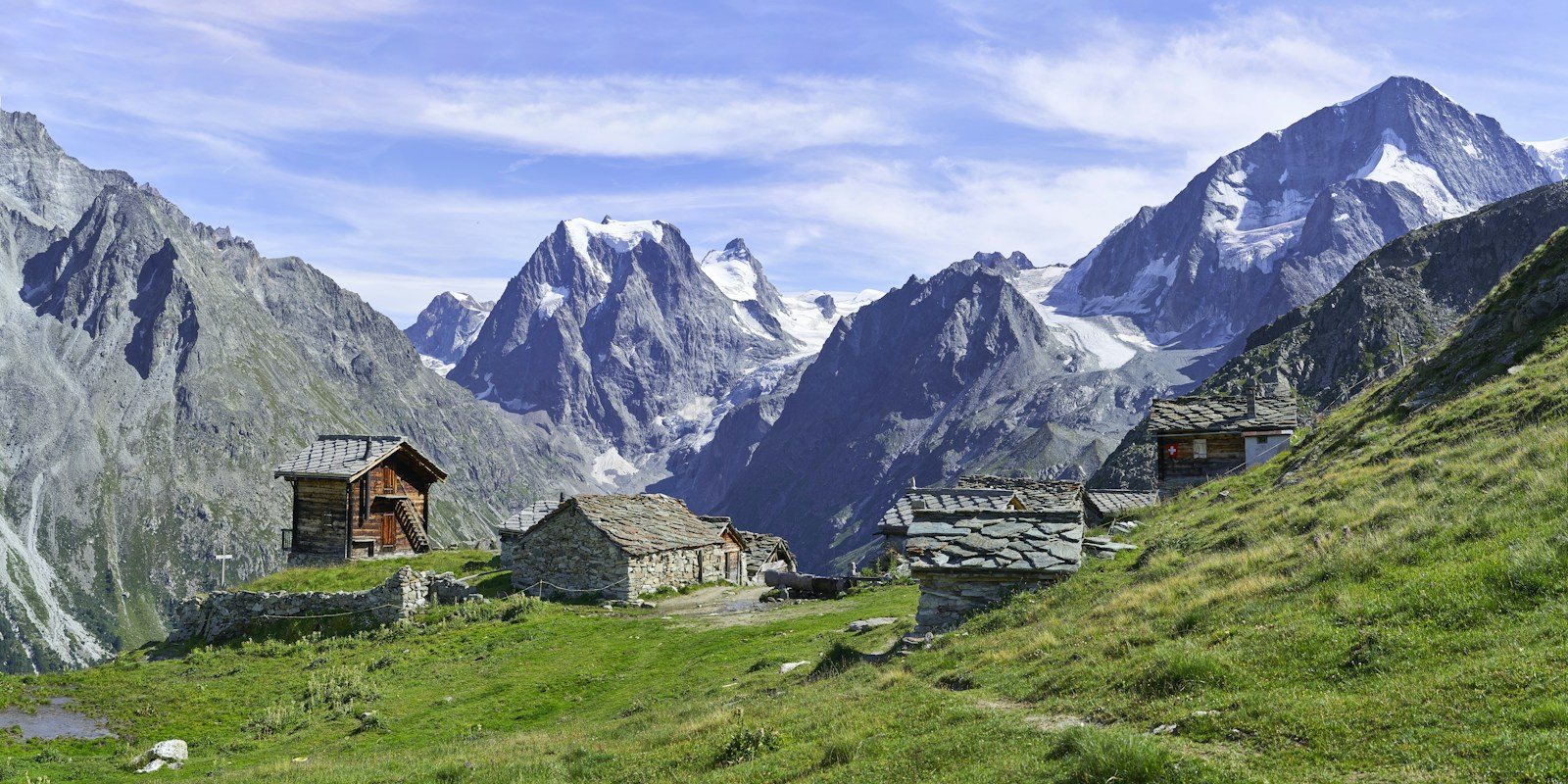 Arolla
Photo: Xavier von Erlach / Unsplash
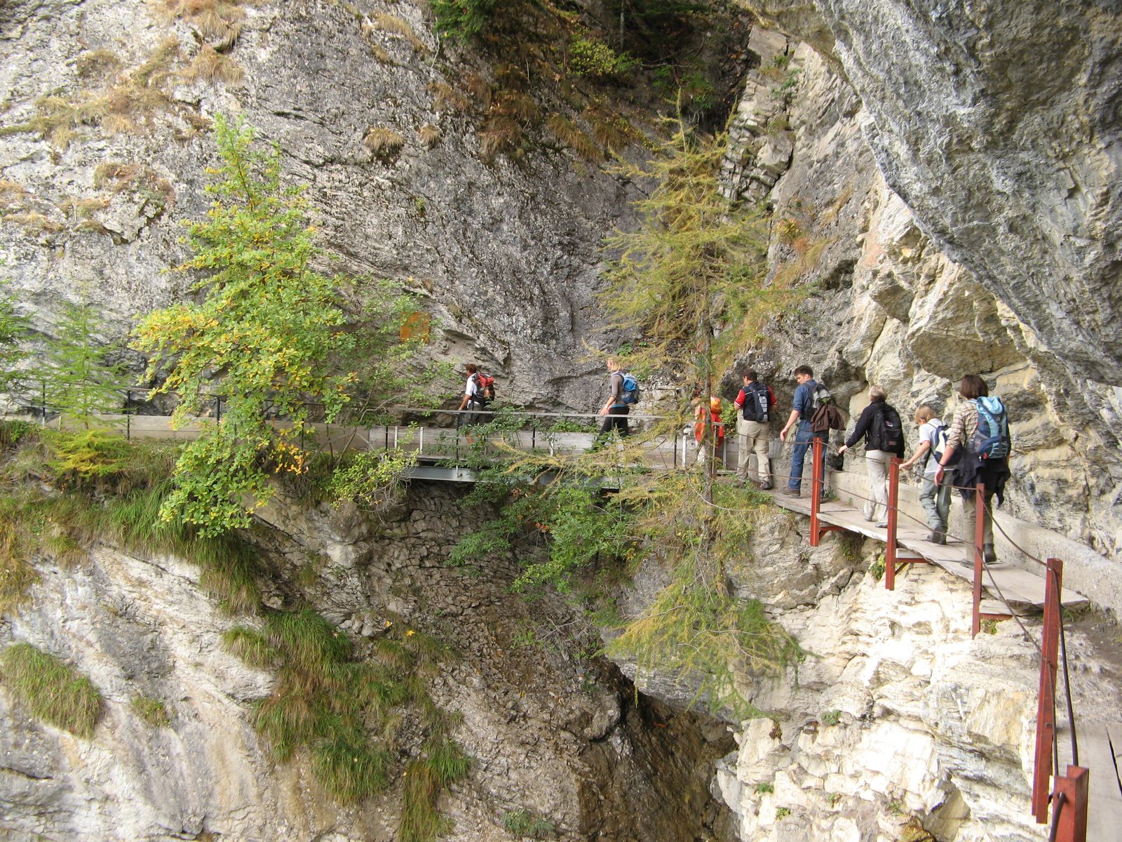 Crans-Montana: Bisse du Ro
Photo: m.prinke, CC BY-SA 2.0 / Wikimedia Commons
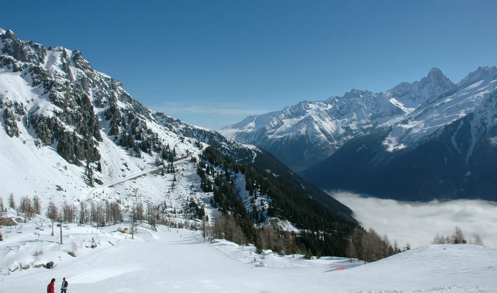 Chamonix Ski Areas
Photo: DimiTalen, CC0 / Wikimedia Commons
Sources (7) · last checked October 2026
Route data checked: October 2026
- Valais/Wallis Promotion — route, distance, elevation, time, difficulty, access, season and opening, history
- Verbier Tourisme (Office du Tourisme de Verbier - Val de Bagnes) — route, access, rules, season and opening
- Air Zermatt — emergency numbers
- Deutscher Alpenverein (alpenverein.de) — emergency numbers
- ch.ch (Swiss authorities) — emergency numbers
- BRouter (OpenStreetMap) — track
- swisstopo — elevation