Hiking route
Around Lake St. Moritz
St. Moritz · Engadin · Switzerland
Easy
Rated by Engadin Tourismus
St. Moritz or by car: Serletta car park, St. Moritz
- Distance
- 4.3km
- Duration
- 1:05h
- Ascent
- 2m
- Descent
- 2m
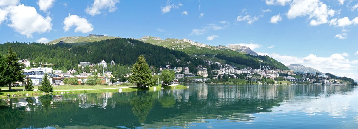
Photo: Tiia Monto, CC BY-SA 3.0 / Wikimedia Commons
Status today
- No closures on record.Official route page ↗
Map and elevation profile
Loading map…
Along the route
- 1
Lake St. Moritz (St. Moritzersee)
- 2
St. Moritz Station
About the route
The tourism board's loop around Lake St. Moritz from the station, partly on paved roads and partly on well-kept paths; flat apart from short ramps at the bridges. Suitable for strollers; the lake shore has no railing.
More routes in St. Moritz
Nearby
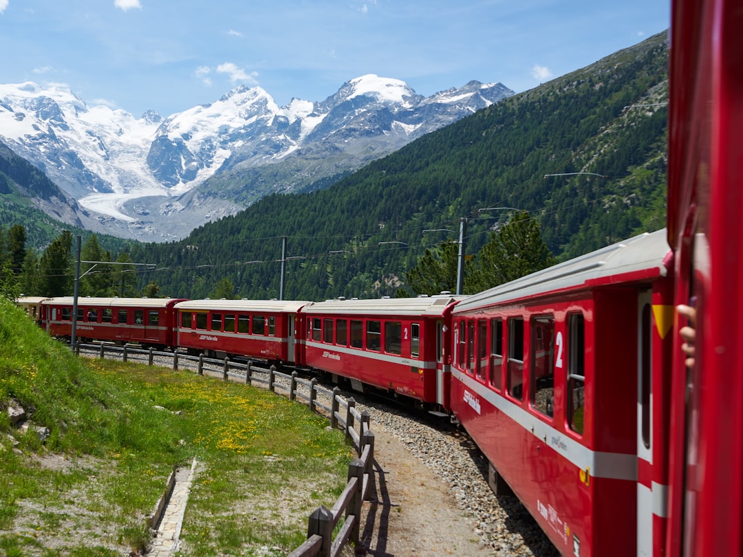 Morteratsch
Photo: Lukas Seitz / Unsplash
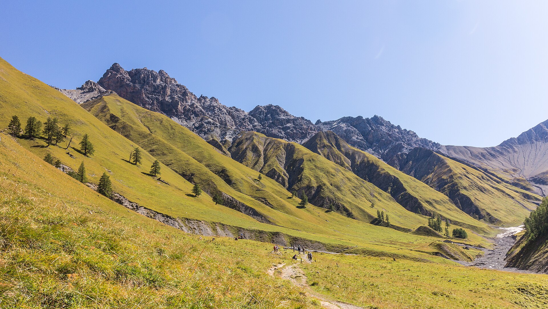 Swiss National Park
Photo: Agnes Monkelbaan, CC BY-SA 4.0 / Wikimedia Commons
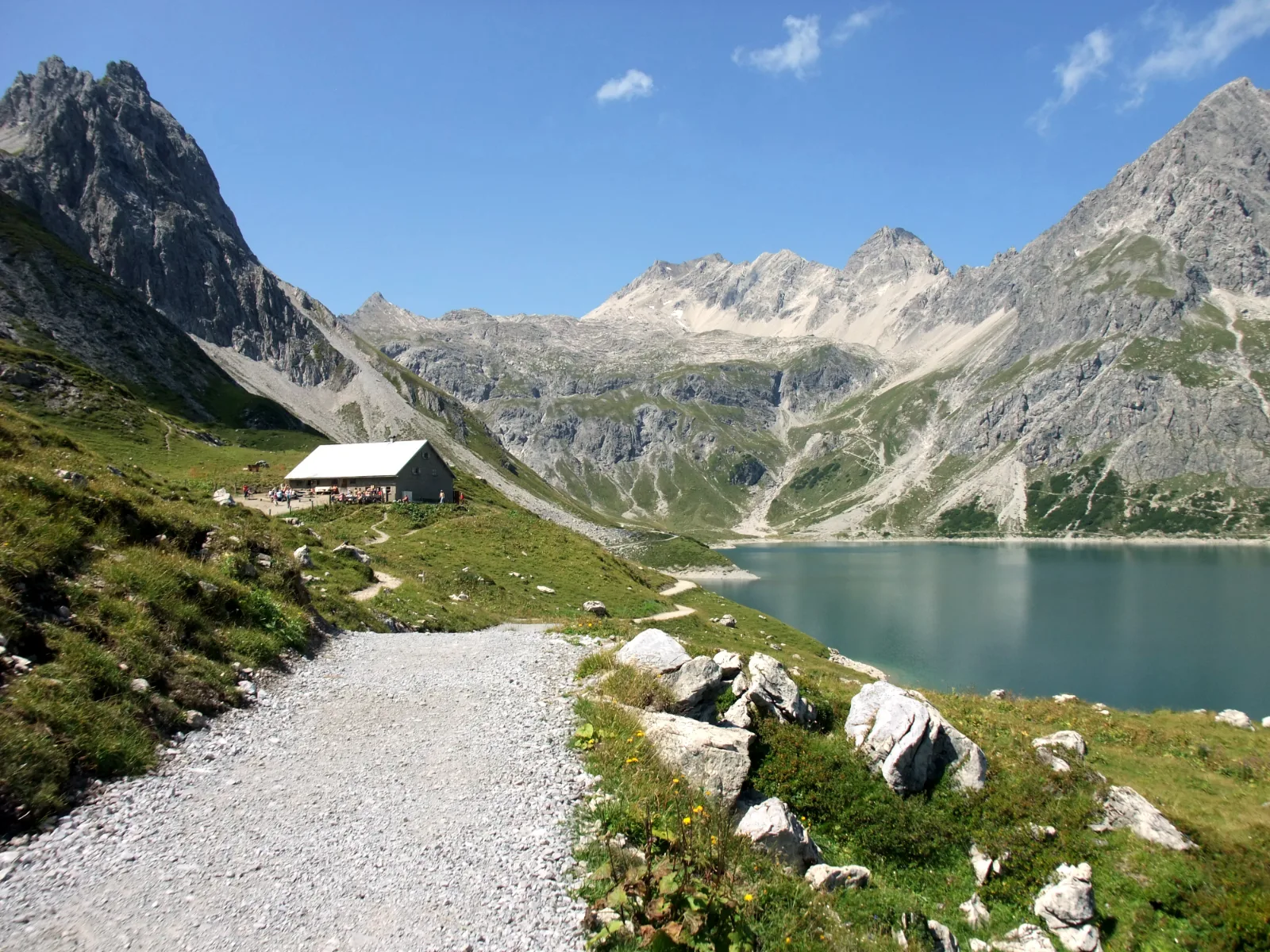 Lünersee
Photo: Nikater, Public domain / Wikimedia Commons
Sources (15) · last checked October 2026
Route data checked: October 2026
- Engadin Tourismus (engadin.ch) — route, distance, elevation, time, difficulty, access, season and opening, history
- Engadin St. Moritz Mountains AG — season and opening, history
- Hanselmann St. Moritz — history
- White Turf St. Moritz — season and opening, history
- Snow Polo St. Moritz — season and opening, history
- Glacier Express AG — access
- Rhaetian Railway (rhb.ch) — access
- Deutscher Alpenverein (alpenverein.de) — emergency numbers
- ch.ch (Swiss authorities) — emergency numbers
- Engadin Tourismus (graubuenden.ch) — route, distance, elevation, time, difficulty
- Engadin Tourismus AG (graubuenden.ch) — route, distance, elevation, time, difficulty, access, season and opening
- Engadin St. Moritz Mountains AG (mountains.ch) — route, distance, elevation, time, difficulty
- Pontresina Tourismus (pontresina.ch) — season and opening
- swisstopo — difficulty
- BRouter (OpenStreetMap) — track