Hiking route
Muottas Muragl – Segantini Hut – Alp Languard
St. Moritz · Engadin · Switzerland
Moderate
Rated by Engadin Tourismus AG
Punt Muragl, Talstation or by car: Car park at Punt Muragl
- Distance
- 6.5km
- Duration
- 2:30h
- Ascent
- 389m
- Descent
- 516m
Loading map…
Status today
- Alp Languard chairlift closed
- Season: June – October · out of season
Elevation profile
↑ 389 m · ↓ 516 m
About the route
From the top of the Muottas Muragl funicular up to the Segantini Hut (2731 m), the painter Giovanni Segantini's last home, with views over the Upper Engadine lakes and the Bernina massif. Then a steep descent to Alp Languard and the chairlift down to Pontresina. Well marked but steep in parts: you need to be sure-footed and free from vertigo.
More routes in St. Moritz
Nearby
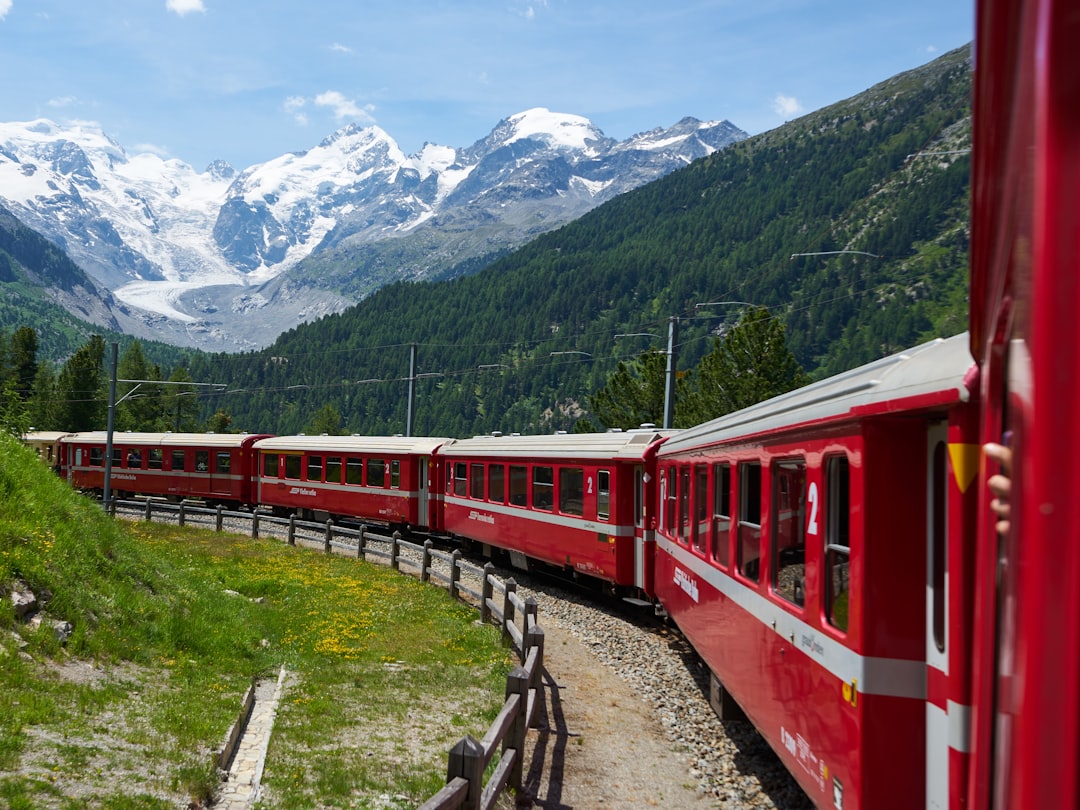 Morteratsch
Photo: Lukas Seitz / Unsplash
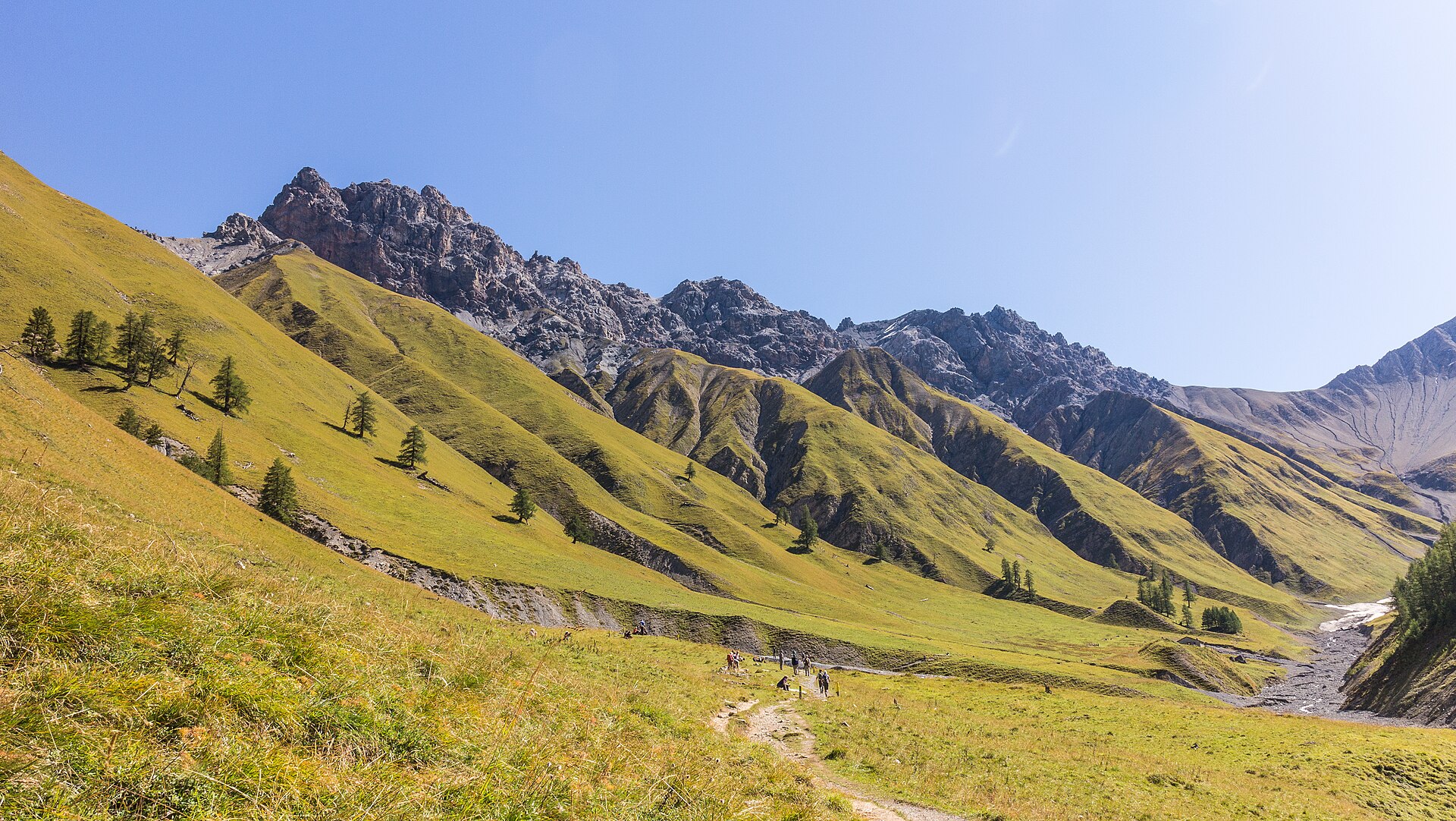 Swiss National Park
Photo: Agnes Monkelbaan, CC BY-SA 4.0 / Wikimedia Commons
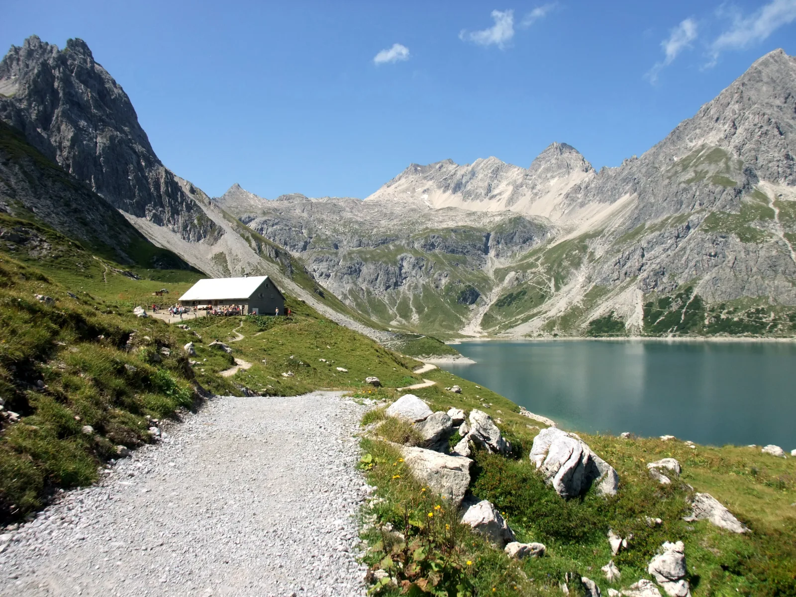 Lünersee
Photo: Nikater, Public domain / Wikimedia Commons
Sources (15) · last checked October 2026
Route data checked: October 2026
- Engadin Tourismus (engadin.ch) — route, distance, elevation, time, difficulty, access, season and opening, history
- Engadin St. Moritz Mountains AG — season and opening, history
- Hanselmann St. Moritz — history
- White Turf St. Moritz — season and opening, history
- Snow Polo St. Moritz — season and opening, history
- Glacier Express AG — access
- Rhaetian Railway (rhb.ch) — access
- Deutscher Alpenverein (alpenverein.de) — emergency numbers
- ch.ch (Swiss authorities) — emergency numbers
- Engadin Tourismus (graubuenden.ch) — route, distance, elevation, time, difficulty
- Engadin Tourismus AG (graubuenden.ch) — route, distance, elevation, time, difficulty, access, season and opening
- Engadin St. Moritz Mountains AG (mountains.ch) — route, distance, elevation, time, difficulty
- Pontresina Tourismus (pontresina.ch) — season and opening
- swisstopo — difficulty
- BRouter (OpenStreetMap) — track