Hiking route
Eiger Trail: Eigergletscher – Alpiglen
Grindelwald · Bernese Oberland · Switzerland
Moderate
Rated by SchweizMobil
Jungfraubahn Eigergletscher or by car: Car park Grindelwald Terminal
- Distance
- 6km
- Duration
- 1:55h
- Ascent
- 100m
- Descent
- 820m
Status today
- Berghaus Alpiglen closed until 18 Dec
- Season: July – October · out of season
Elevation profile
Along the route
- 1
Eigergletscher station
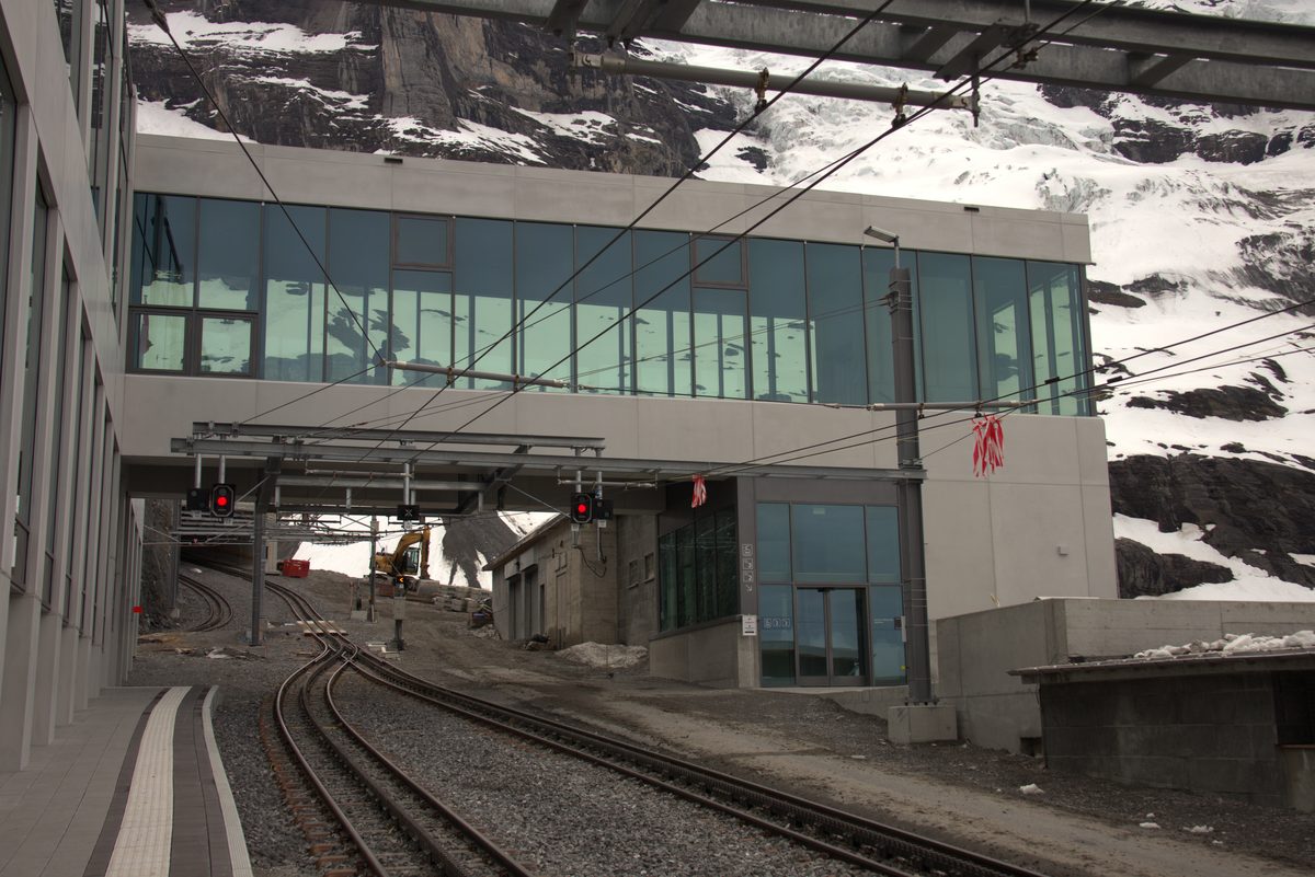
Photo: TurkAviator, CC BY-SA 4.0 / Wikimedia Commons
- 2
Berghaus Alpiglen
- 3
Alpiglen station
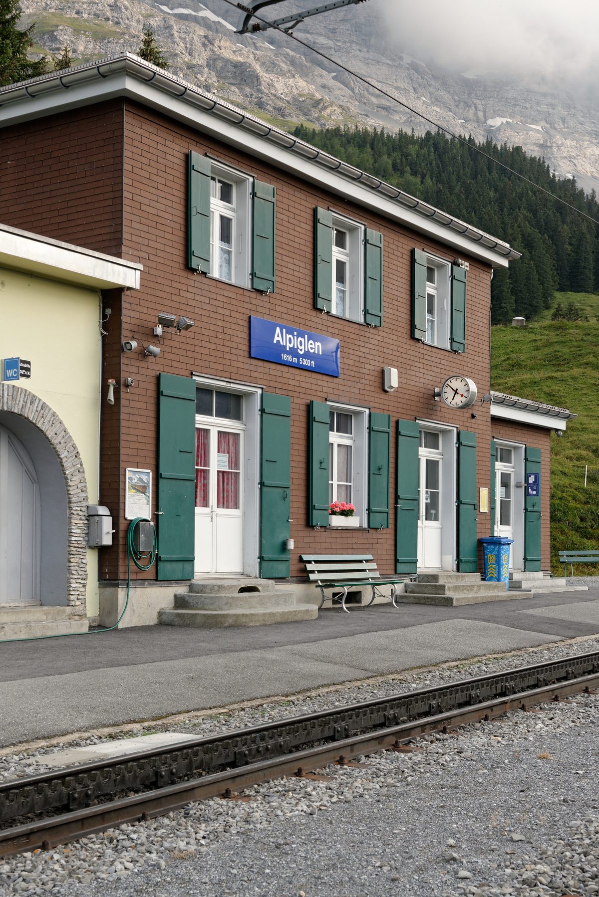
Photo: Marie-Lan Nguyen, CC BY 4.0 / Wikimedia Commons
About the route
One way from Eigergletscher station along the foot of the Eiger North Face, over steep alpine pastures and scree, past streams and a waterfall, down to Alpiglen station.
You don't need a rope or carabiners: any reasonably proficient mountain hiker can walk to the foot of the wall. The climbing routes to the summit are easy to make out from the trail, and with binoculars and a little luck you may spot a roped team on the face. There is a restaurant at Alpiglen station, and the trail can also be walked in the other direction, uphill from Alpiglen.
More routes in Grindelwald
Nearby
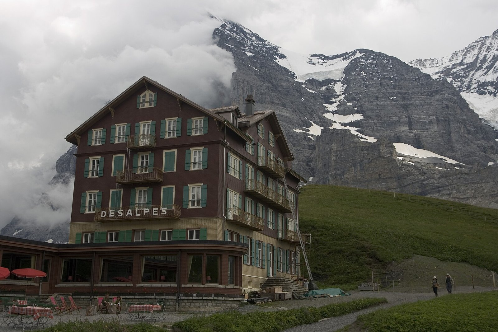 Via Alpina: Grindelwald – Kleine Scheidegg – Lauterbrunnen
Photo: Maksym Kozlenko, CC BY-SA 4.0 / Wikimedia Commons
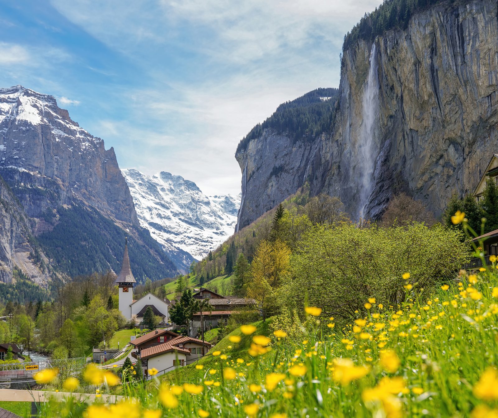 Lauterbrunnen Valley
Photo: Giles Laurent, CC BY-SA 4.0 / Wikimedia Commons
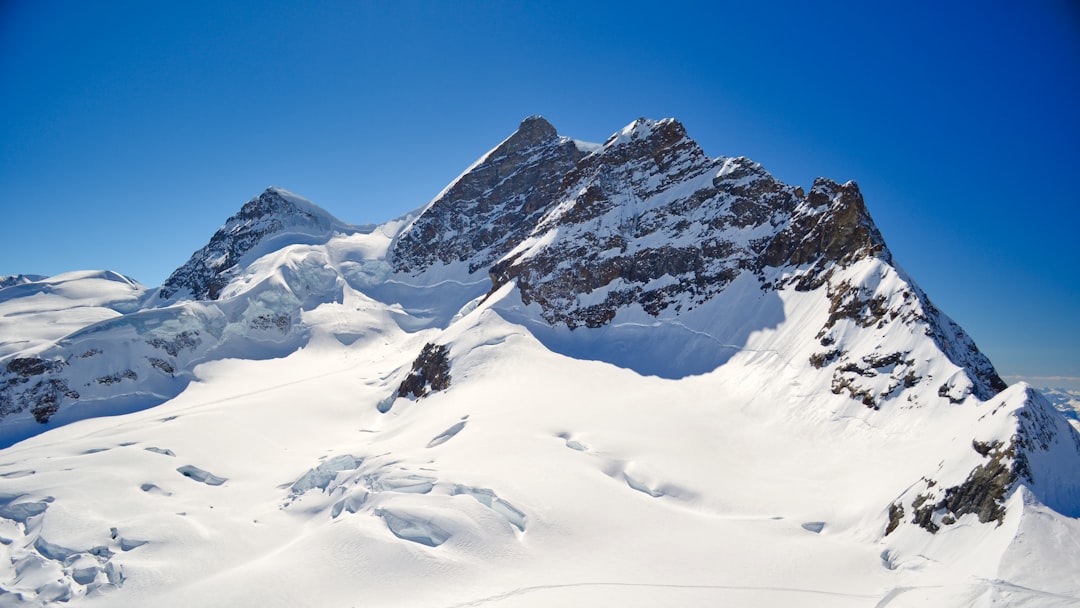 Jungfraujoch Top of Europe
Sources (13) · last checked October 2026
Route data checked: October 2026
- Grindelwald Tourismus — access
- First – Bachalpsee – First (No. 1) — route, distance, elevation, time, difficulty, access
- Grosse Scheidegg – First (No. 6) — route, distance, elevation, time, difficulty, access
- Panorama Trail Männlichen – Kleine Scheidegg (No. 33) — route, distance, elevation, time, difficulty
- Schynige Platte – Faulhorn – First (No. 62) — route, distance, elevation, time, difficulty
- Jungfrau Region Tourismus — route, distance, elevation, time, difficulty, access, rules
- Jungfraubahnen — route, distance, elevation, time, difficulty, access, season and opening
- GrindelwaldBus — season and opening
- Männlichenbahnen — route, access, season and opening
- Berghotel Faulhorn — season and opening
- Deutscher Alpenverein (alpenverein.de) — emergency numbers
- ch.ch (Swiss authorities) — emergency numbers
- SchweizMobil — route, track, distance, elevation, time, difficulty
- Jungfrau Railways (jungfrau.ch) — route, difficulty, access
- Switzerland Tourism (myswitzerland.com) — route, time, difficulty, rules, season and opening
- BRouter (OpenStreetMap) — track
- swisstopo — elevation