Hiking route
First – Bachalpsee – First
Grindelwald · Bernese Oberland · Switzerland
Easy
Rated by Grindelwald Tourismus
Grindelwald Firstbahn First (top station) or by car: Car park Grindelwald Terminal
- Distance
- 5.8km
- Duration
- 1:40h
- Ascent
- 202m
- Descent
- 202m
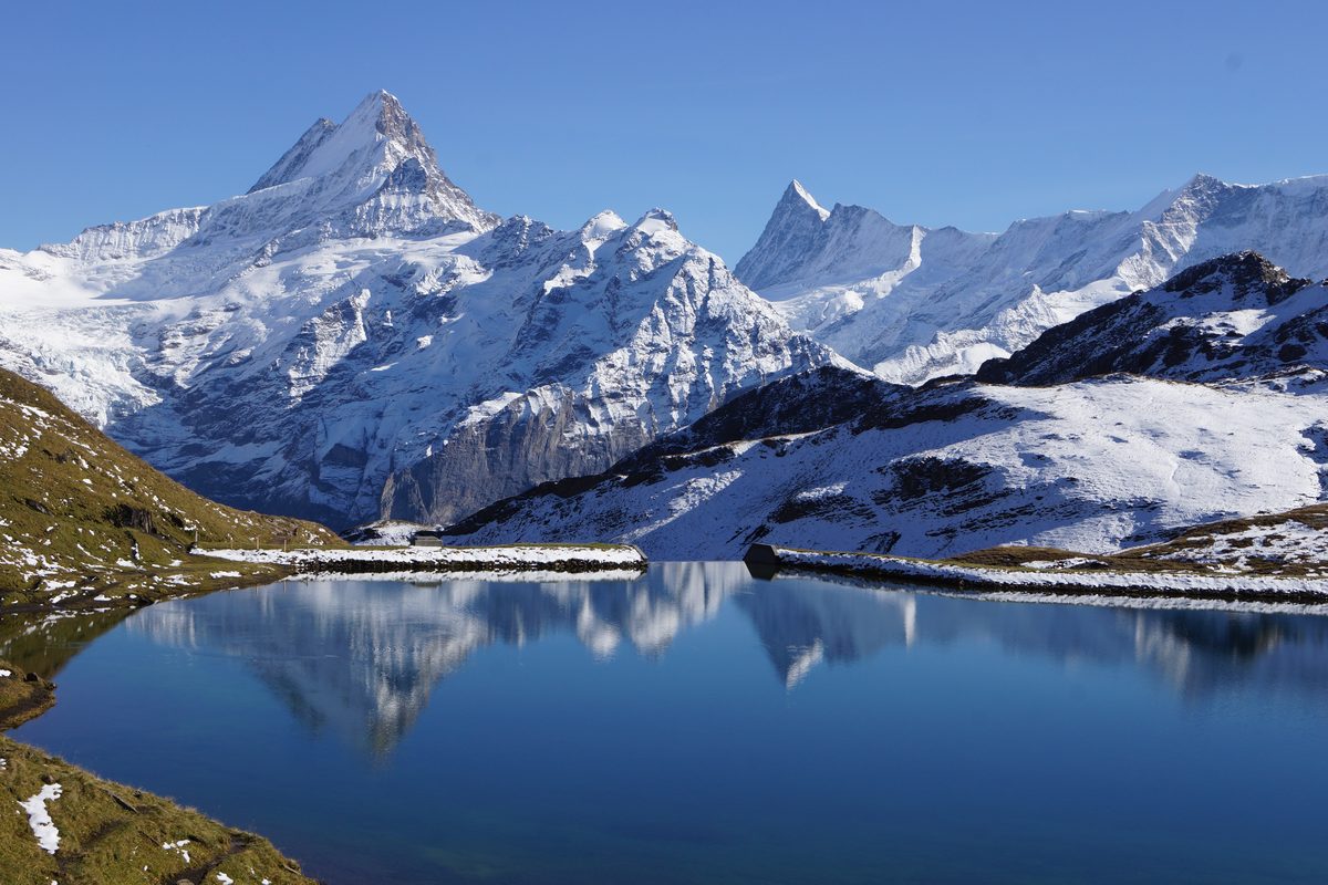
Photo: FkMohr, CC BY-SA 3.0 de / Wikimedia Commons
Status today
- Firstbahn closed for maintenance until 27 Nov
Map and elevation profile
Along the route
- 1
First gondola (Grindelwald – First)
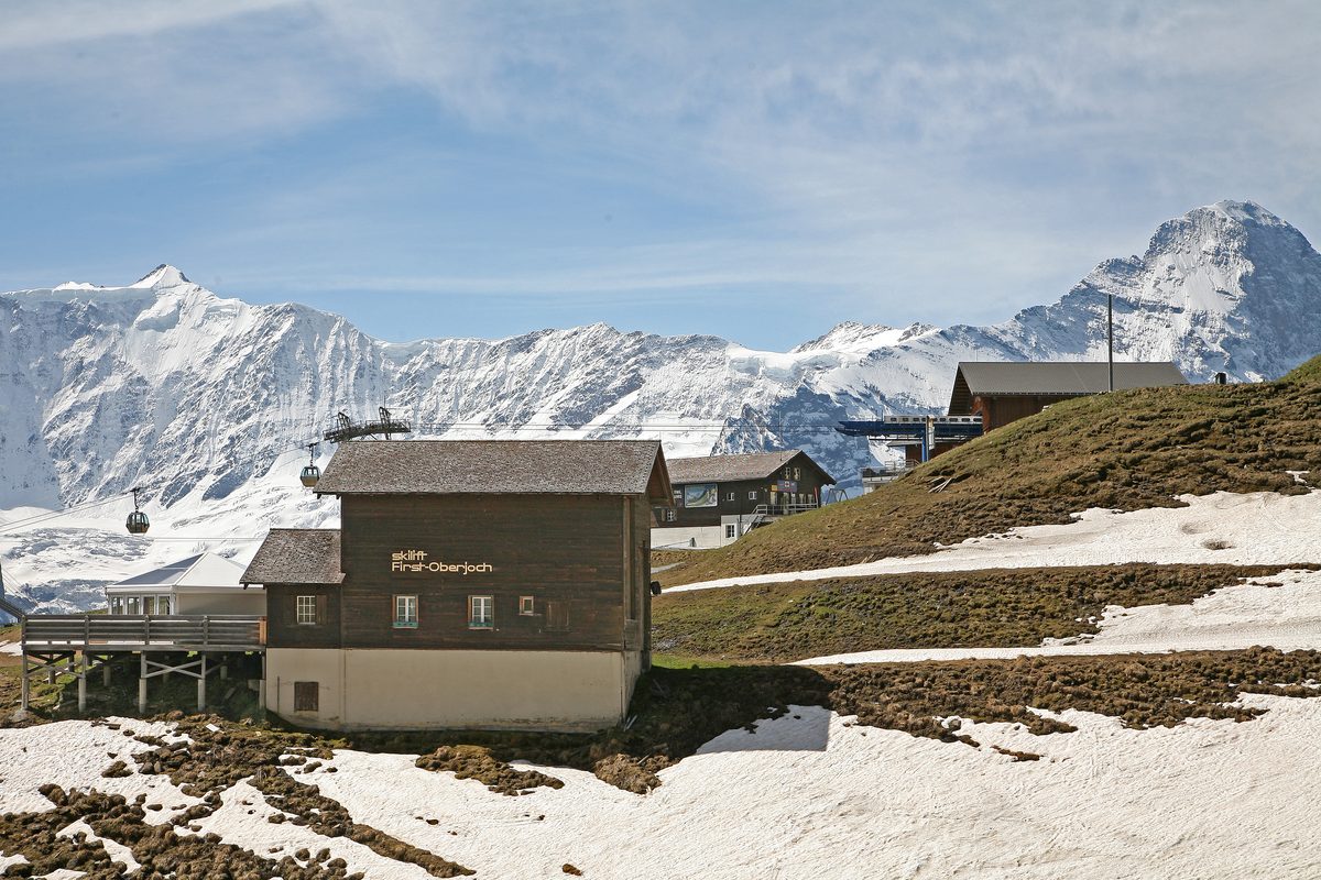
Photo: W. Bulach, CC BY-SA 4.0 / Wikimedia Commons
- 2
Berggasthaus First
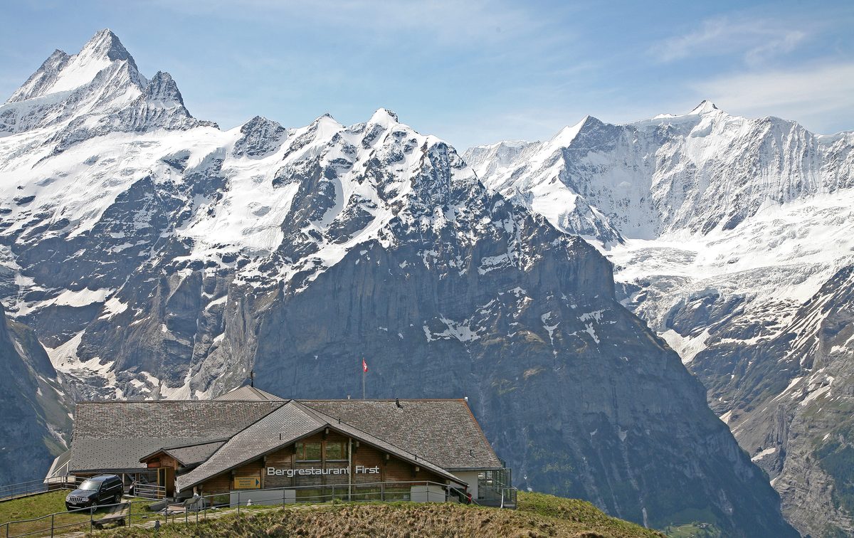
Photo: W. Bulach, CC BY-SA 4.0 / Wikimedia Commons
- 3
Bachalpsee
About the route
From the top station of the First gondola, a wide, well-built trail runs past alpine meadows to the Bachalpsee. At the lake you see the Schreckhorn and Wetterhorn and their reflection in the water; there are benches by the shore and along the path for a picnic. Grindelwald Tourismus rates the hike easy and tags it family-friendly; you return the same way.
More routes in Grindelwald
Nearby
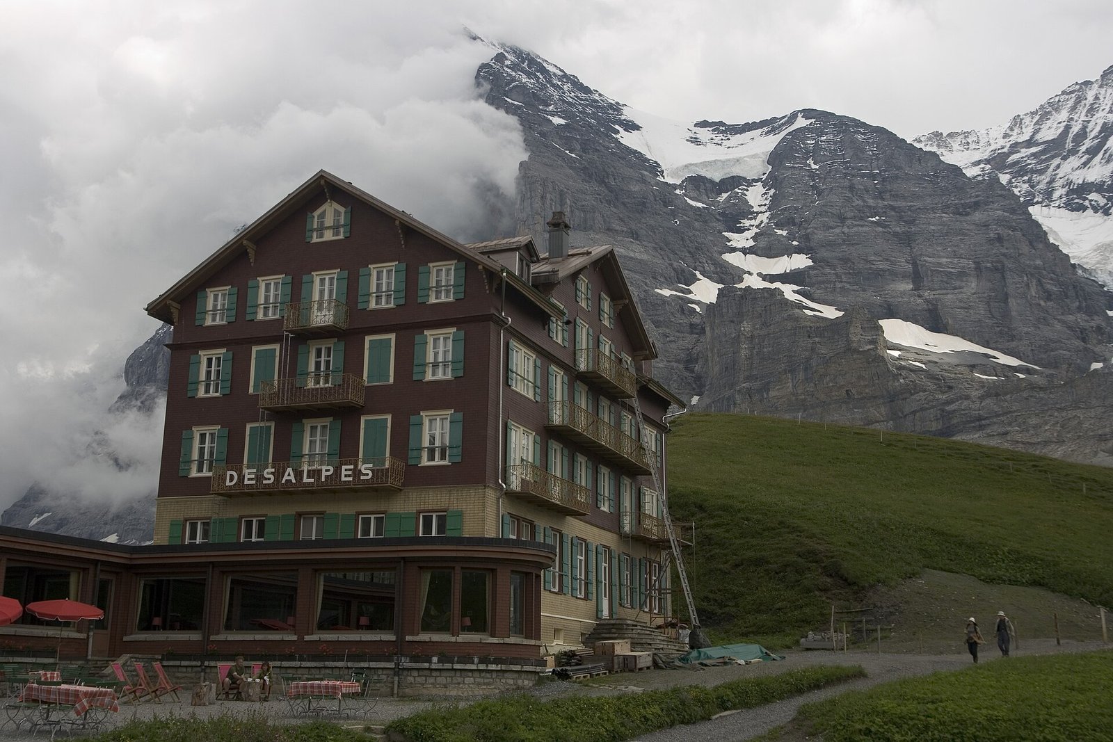 Via Alpina: Grindelwald – Kleine Scheidegg – Lauterbrunnen
Photo: Maksym Kozlenko, CC BY-SA 4.0 / Wikimedia Commons
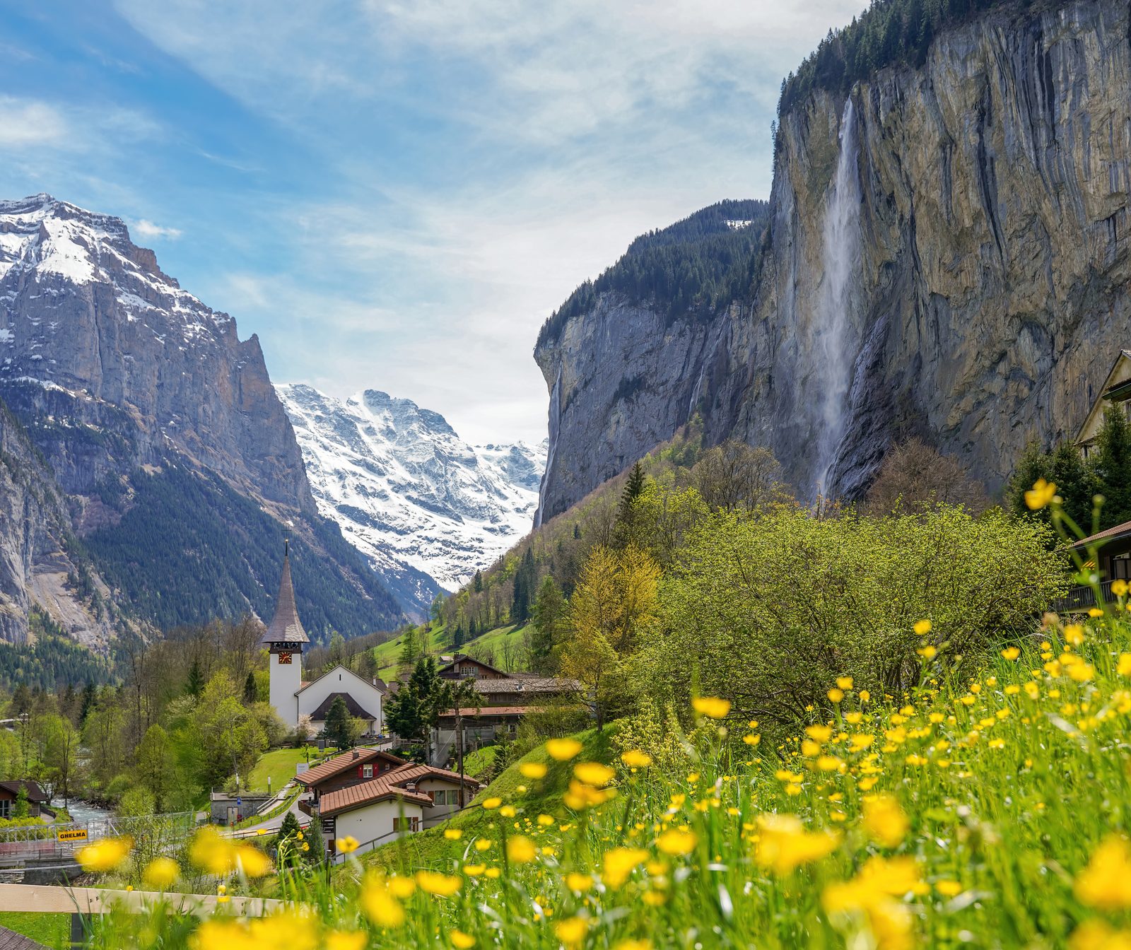 Lauterbrunnen Valley
Photo: Giles Laurent, CC BY-SA 4.0 / Wikimedia Commons
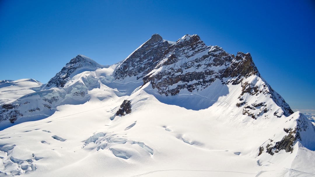 Jungfraujoch Top of Europe
Sources (13) · last checked October 2026
Route data checked: October 2026
- Grindelwald Tourismus — access
- First – Bachalpsee – First (No. 1) — route, distance, elevation, time, difficulty, access
- Grosse Scheidegg – First (No. 6) — route, distance, elevation, time, difficulty, access
- Panorama Trail Männlichen – Kleine Scheidegg (No. 33) — route, distance, elevation, time, difficulty
- Schynige Platte – Faulhorn – First (No. 62) — route, distance, elevation, time, difficulty
- Jungfrau Region Tourismus — route, distance, elevation, time, difficulty, access, rules
- Jungfraubahnen — route, distance, elevation, time, difficulty, access, season and opening
- GrindelwaldBus — season and opening
- Männlichenbahnen — route, access, season and opening
- Berghotel Faulhorn — season and opening
- Deutscher Alpenverein (alpenverein.de) — emergency numbers
- ch.ch (Swiss authorities) — emergency numbers
- SchweizMobil — route, track, distance, elevation, time, difficulty
- Jungfrau Railways (jungfrau.ch) — route, difficulty, access
- Switzerland Tourism (myswitzerland.com) — route, time, difficulty, rules, season and opening
- BRouter (OpenStreetMap) — track
- swisstopo — elevation