Hiking route
5-Seenweg: Blauherd – Sunnegga
Zermatt · Valais · Switzerland
Moderate
Rated by SchweizMobil
Sunnegga – Blauherd or by car: Matterhorn Terminal Täsch
- Distance
- 11km
- Duration
- 3:15h
- Ascent
- 380m
- Descent
- 660m
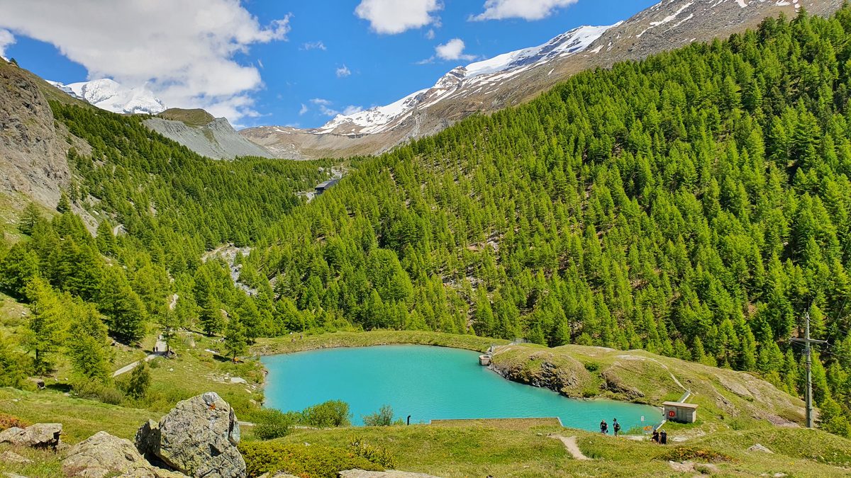
Photo: Markus Bernet, CC BY-SA 4.0 / Wikimedia Commons
Status today
- Sunnegga – Blauherd not running until the winter season
- Season: June – September · out of season
Map and elevation profile
Along the route
- 1
Blauherd
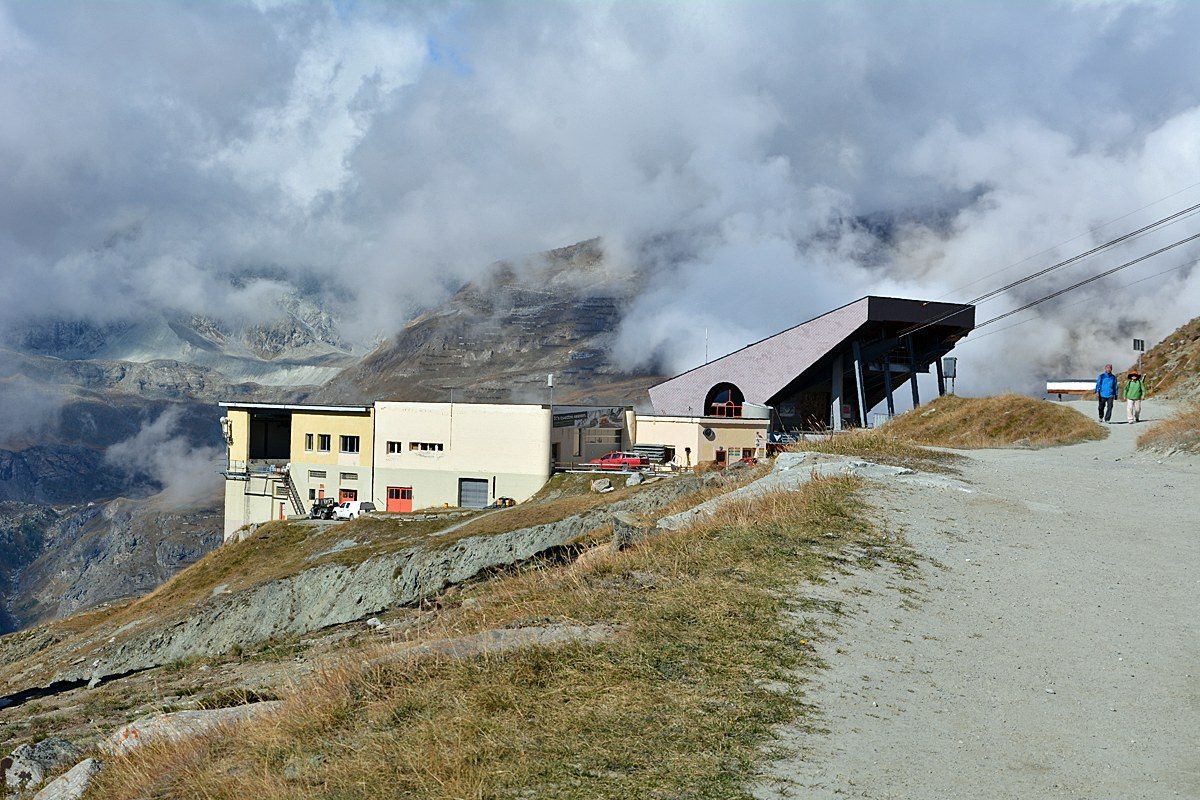
Photo: Andreas Faessler, CC BY-SA 4.0 / Wikimedia Commons
- 2
Stellisee
- 3
Fluhalp mountain restaurant
- 4
Grindjisee
- 5
Grünsee
- 6
Moosjisee
- 7
Leisee
- 8
Sunnegga funicular
About the route
One way from Blauherd past Stellisee, Grindjisee, Grünsee, Moosjisee and Leisee to Sunnegga.
Grindjisee has a rich moorland flora with rare flowers, and on the way across to Grünsee the path crosses a former glacier area. Moosjisee is a reservoir fed by glaciers; its water is used to generate power and make artificial snow. Swimming is allowed only in Leisee and Grünsee unless signs say otherwise, and at Leisee there are picnic facilities and a children's playground.
More routes in Zermatt
Nearby
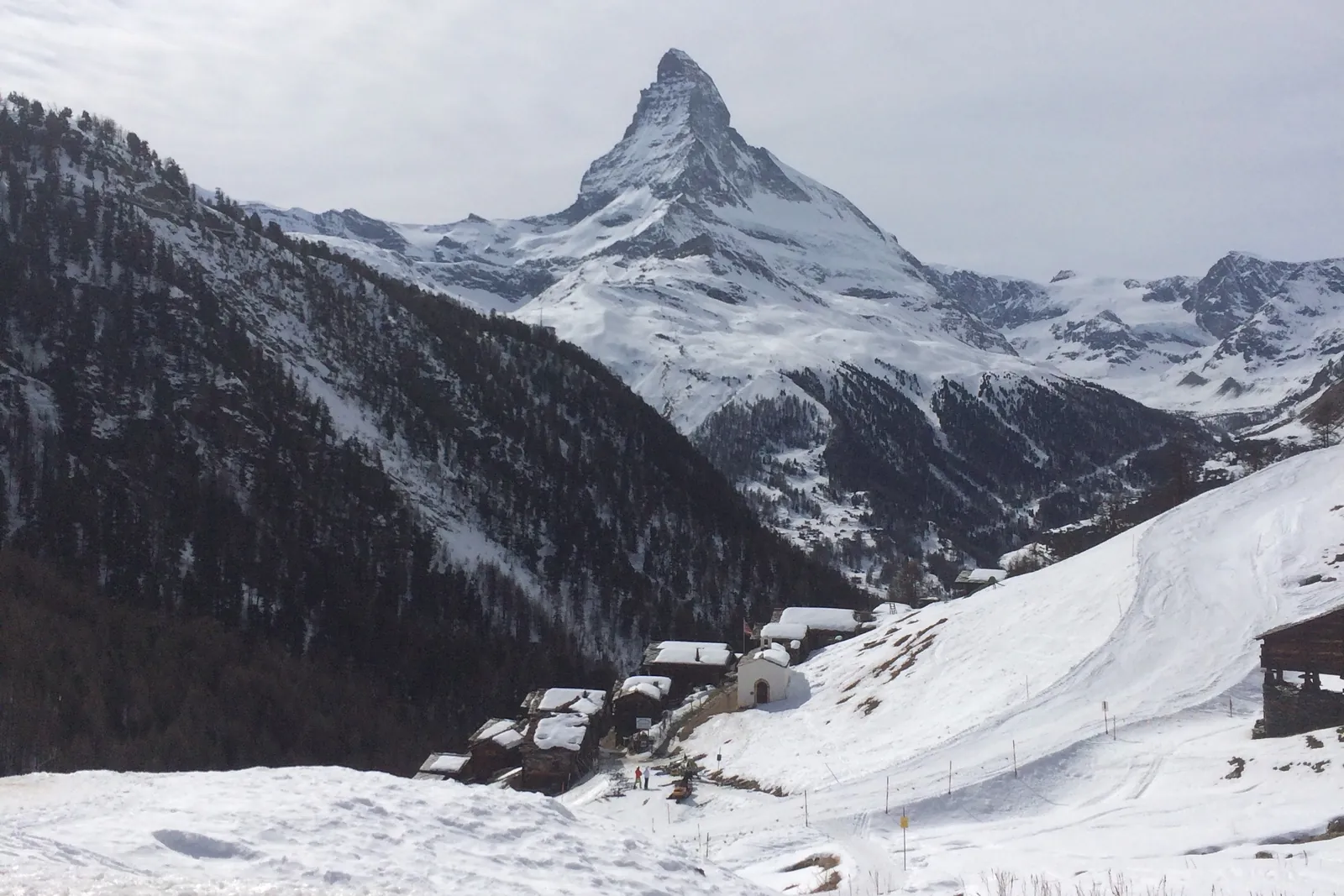 In winter: Zermatt ski area
Photo: Alexandrasophiewexler, CC BY-SA 4.0 / Wikimedia Commons
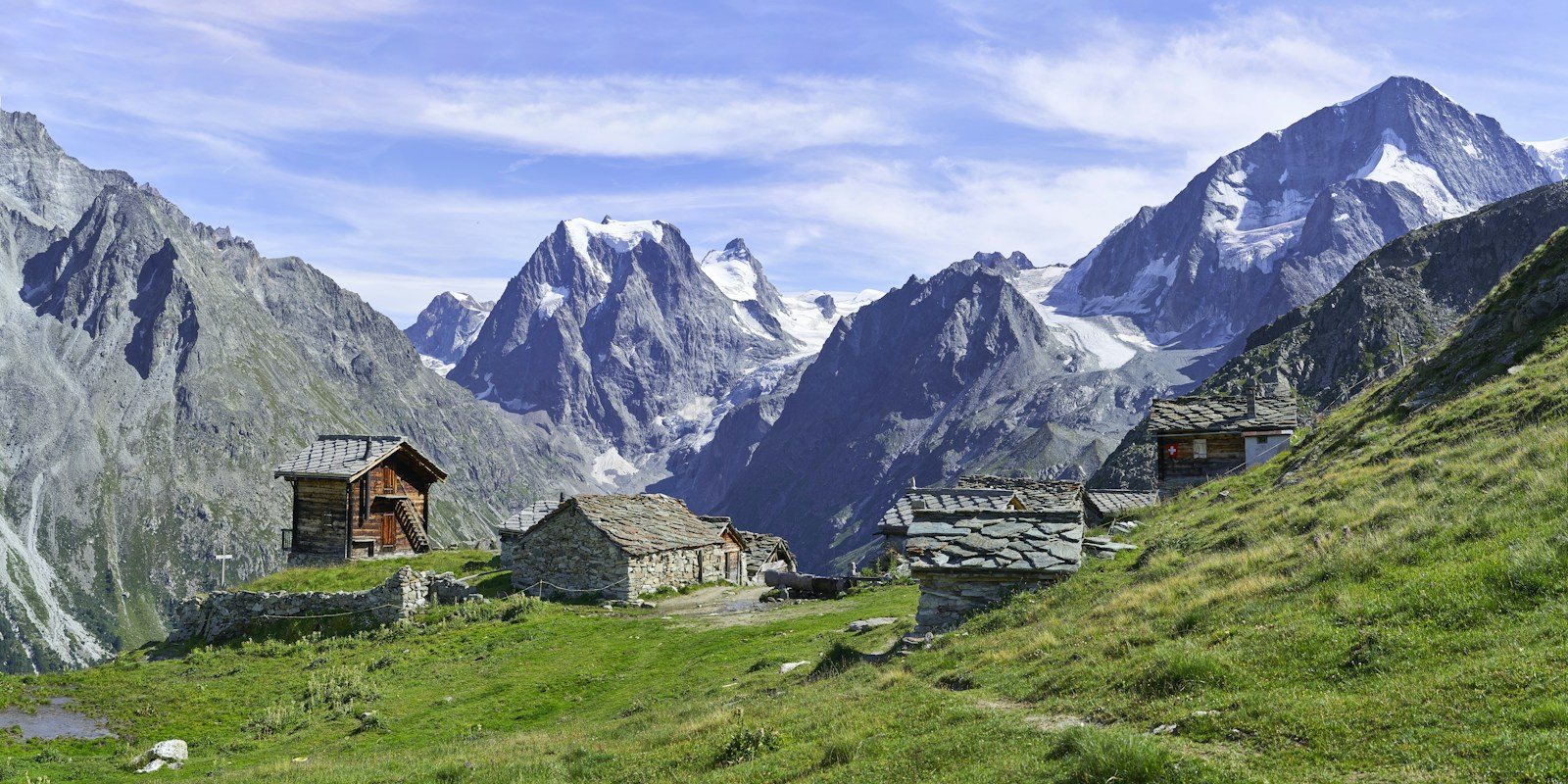 Arolla
Photo: Xavier von Erlach / Unsplash
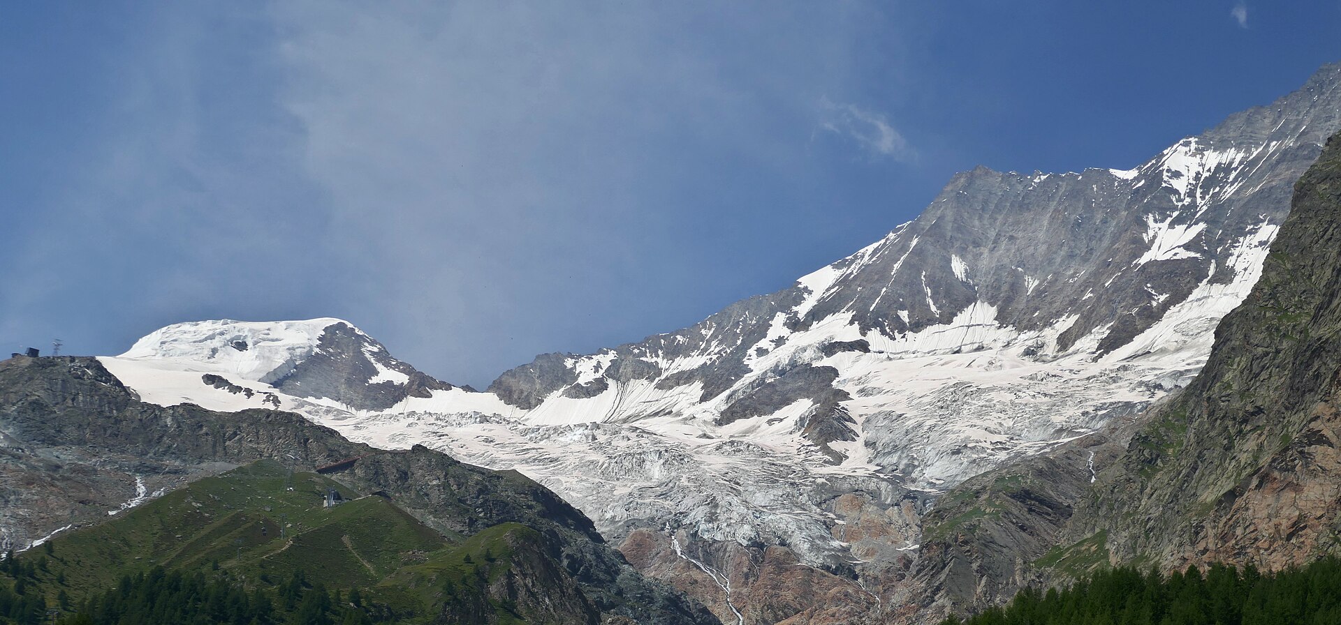 Saas-Fee
Photo: Tiia Monto, CC BY 4.0 / Wikimedia Commons
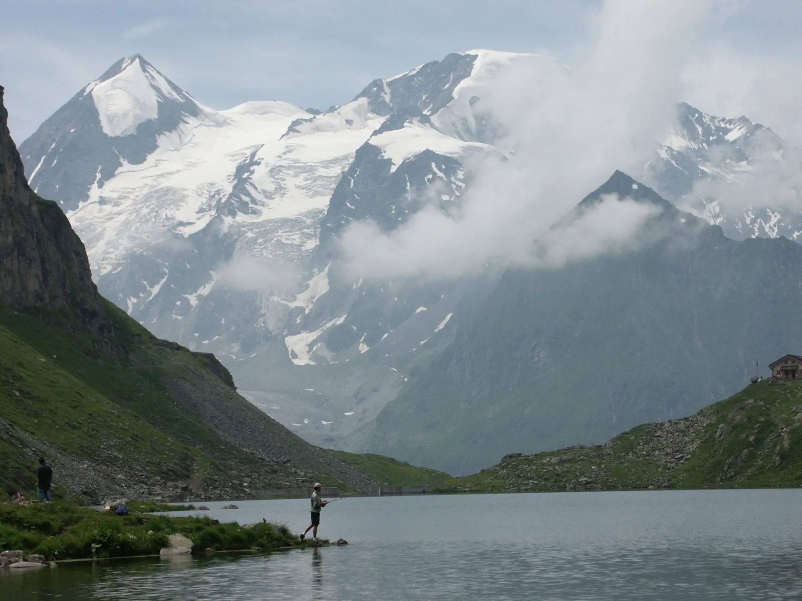 Val de Bagnes
Photo: Olivier Bruchez, CC BY-SA 2.0 / Wikimedia Commons
Sources (12) · last checked October 2026
Route data checked: October 2026
- Zermatt Tourismus — route, access, history
- Matterhorn Glacier Trail (No. 26) — route, distance, elevation, time, difficulty
- Furiweg (No. 51) — route, distance, elevation, time, difficulty, access
- 5-Seenweg: Blauherd – Sunnegga — route
- Riffelsee trail: Rotenboden – Riffelberg — route
- Hörnliweg: Schwarzsee – Hörnlihütte — route, distance, elevation, time, difficulty, rules
- Zermatt Bergbahnen AG — access, rules, season and opening
- Matterhorn Glacier Trail (No. 26) — route, time, difficulty, season and opening
- 5-Seenweg: Blauherd – Sunnegga — route, difficulty, season and opening
- Matterhorn Gotthard Bahn — access
- Air Zermatt — emergency numbers
- Deutscher Alpenverein (alpenverein.de) — emergency numbers
- ch.ch (Swiss authorities) — emergency numbers
- SchweizMobil — route, track, distance, elevation, time, difficulty
- Gornergrat Bahn — route, distance, elevation, time, difficulty
- Gornergrat Bahn AG (gornergrat.ch) — season and opening
- Hörnlihütte — time, rules
- BRouter (OpenStreetMap) — track
- swisstopo — elevation