Hiking route
Riffelsee trail: Rotenboden – Riffelberg
Zermatt · Valais · Switzerland
Moderate
Rated by Gornergrat Bahn AG
Gornergrat Bahn Rotenboden or by car: Matterhorn Terminal Täsch
- Distance
- 3.1km
- Duration
- 1:00h
- Ascent
- 42m
- Descent
- 276m
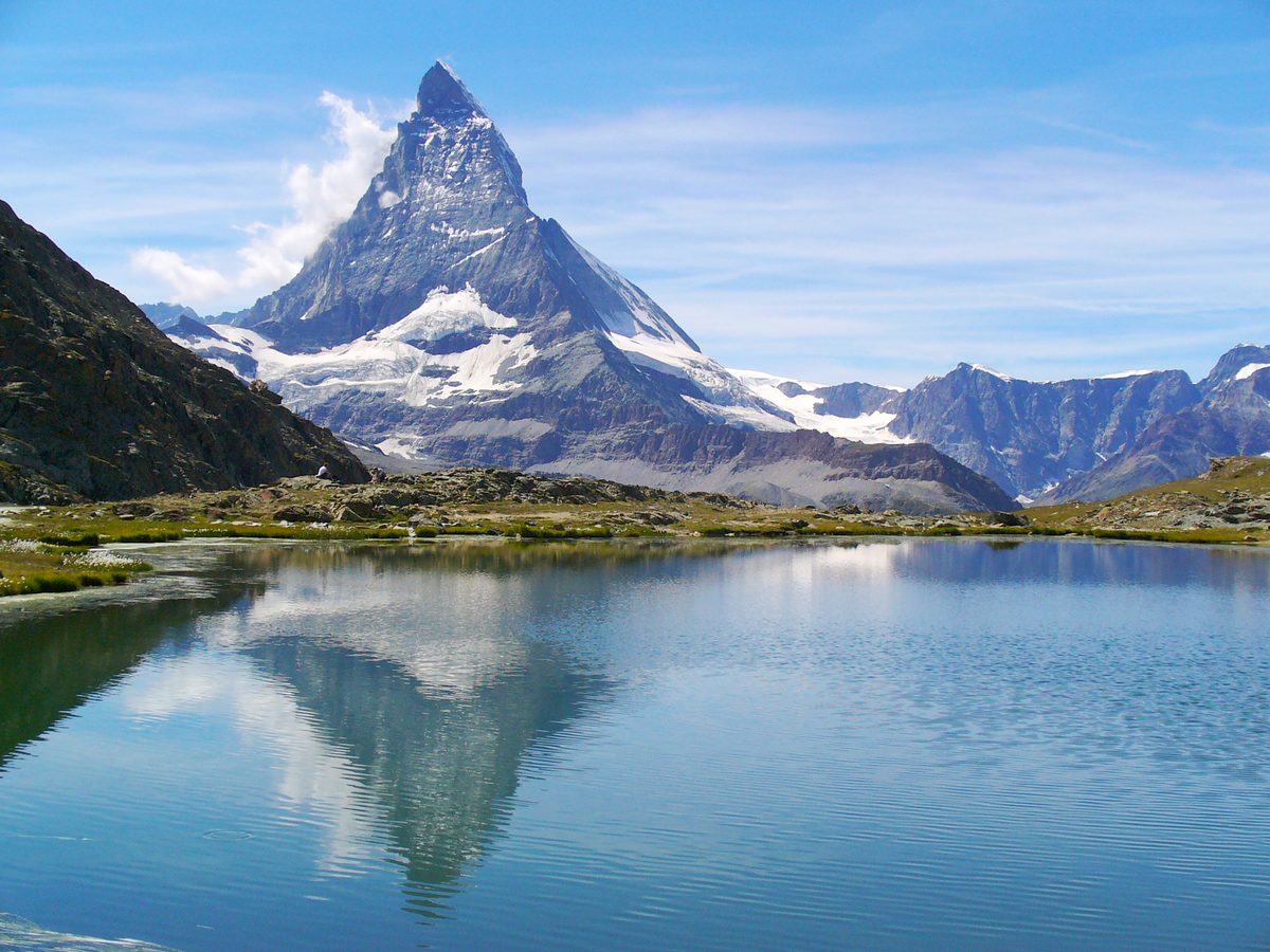
Photo: H. Zell, CC BY 3.0 / Wikimedia Commons
Status today
- Riffelseeweg (No. 21) closed
- Season: May – November · in season
Map and elevation profile
Along the route
- 1
Rotenboden station
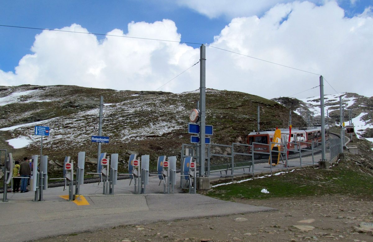
Photo: My another account (talk), CC0 / Wikimedia Commons
- 2
Riffelsee
- 3
Riffelberg station
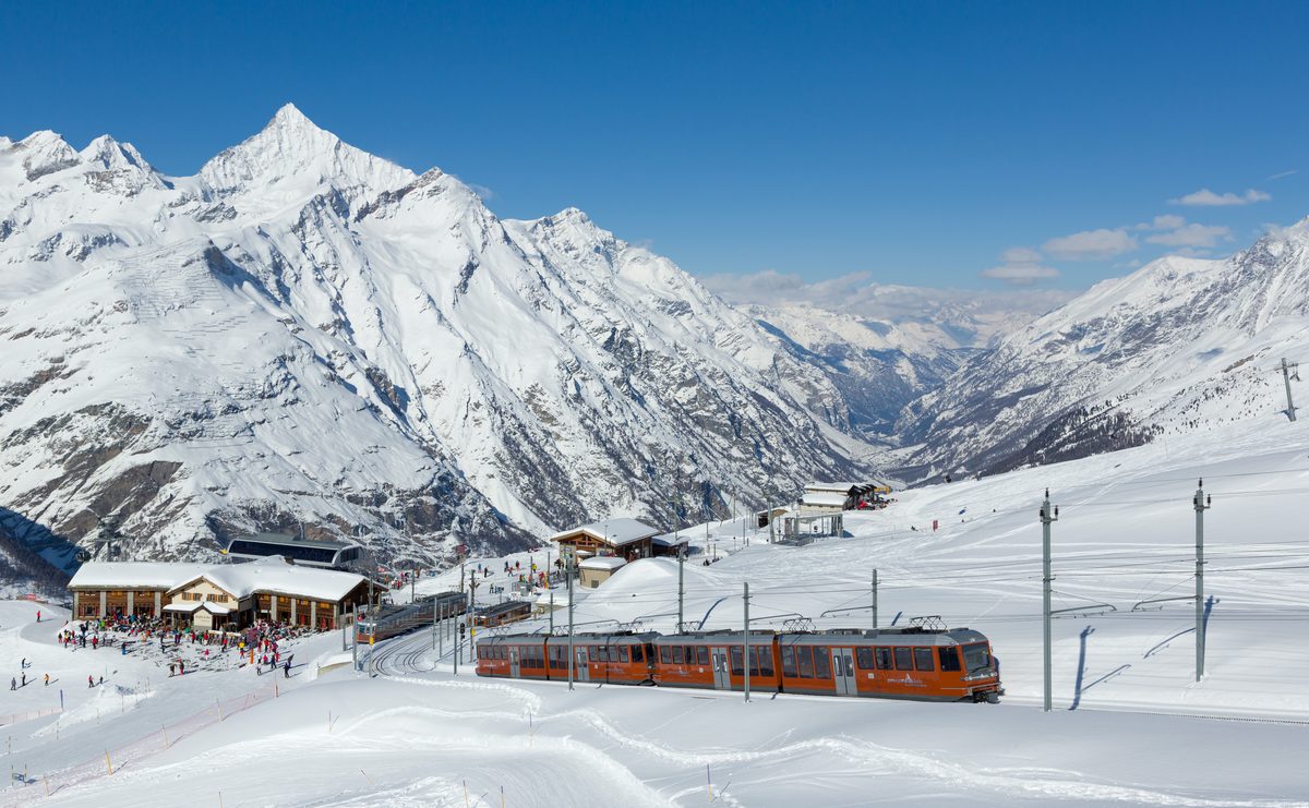
Photo: Kabelleger / David Gubler (http://www.bahnbilder.ch), CC BY-SA 3.0 / Wikimedia Commons
About the route
From Rotenboden station past the Riffelsee and a second, smaller lake, then on the westernmost path via Gagenhaupt to Riffelberg.
There are several ways down to Riffelberg, and the path via Gagenhaupt is the least used of them. Depending on the season, you may see ibex in the Gagenhaupt area. Shortly before the end of the walk you reach the Bruder Klaus chapel at Riffelberg, whose shape is modeled on the silhouette of the Weisshorn behind it.
More routes in Zermatt
Nearby
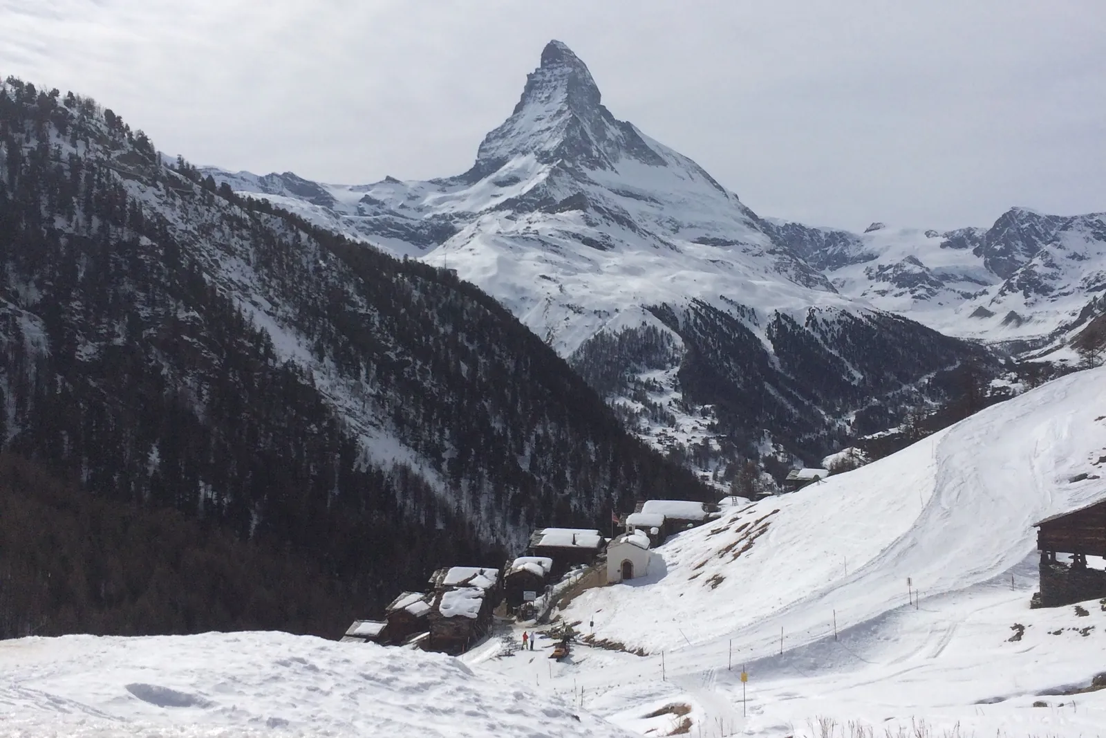 In winter: Zermatt ski area
Photo: Alexandrasophiewexler, CC BY-SA 4.0 / Wikimedia Commons
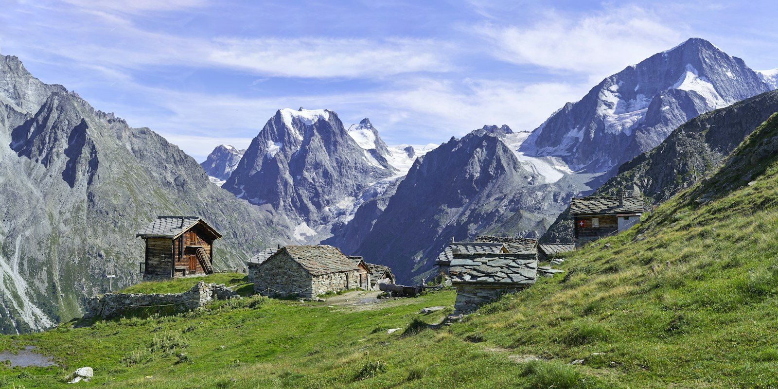 Arolla
Photo: Xavier von Erlach / Unsplash
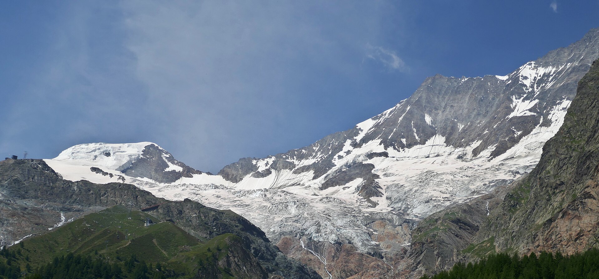 Saas-Fee
Photo: Tiia Monto, CC BY 4.0 / Wikimedia Commons
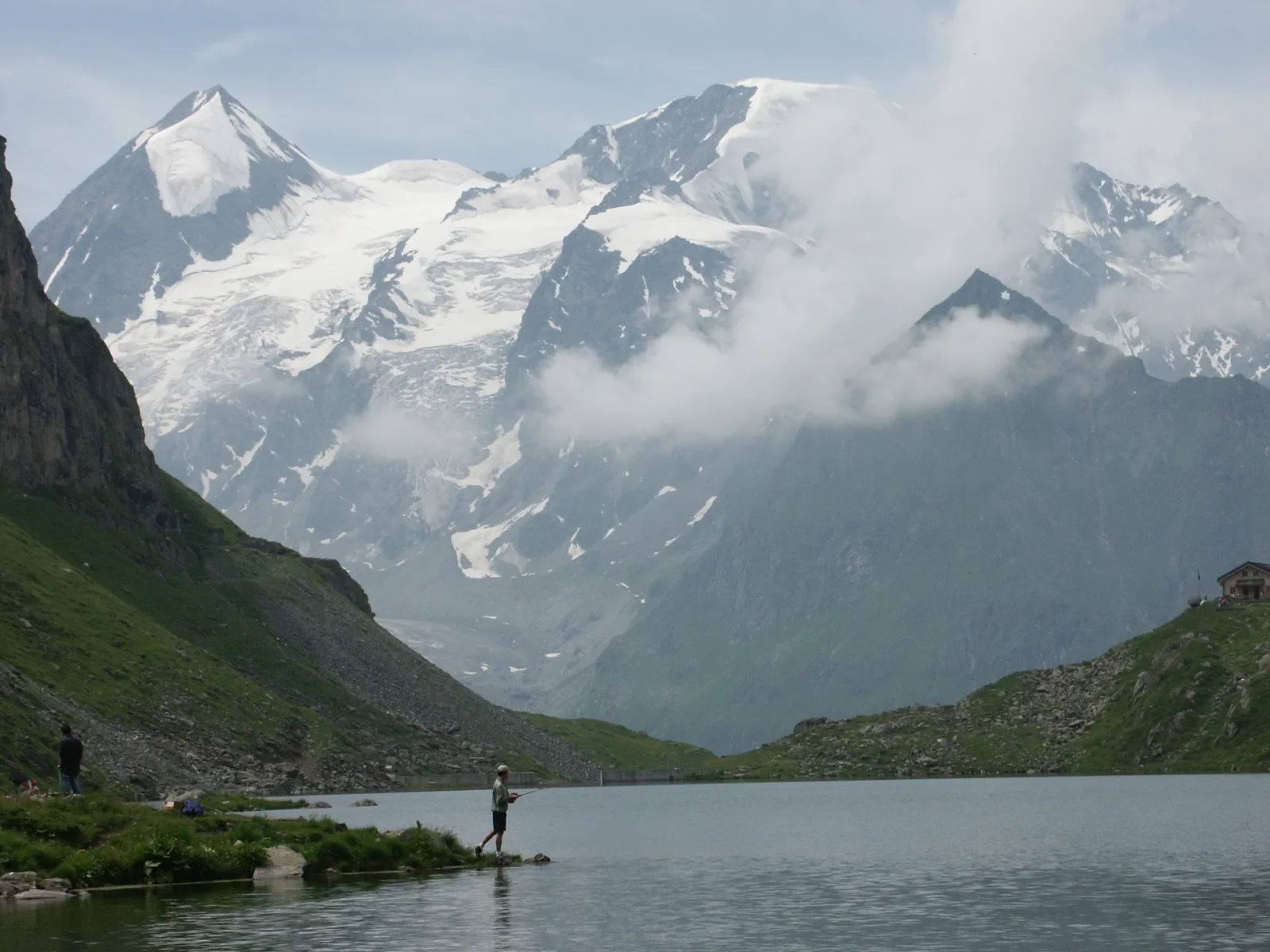 Val de Bagnes
Photo: Olivier Bruchez, CC BY-SA 2.0 / Wikimedia Commons
Sources (12) · last checked October 2026
Route data checked: October 2026
- Zermatt Tourismus — route, access, history
- Matterhorn Glacier Trail (No. 26) — route, distance, elevation, time, difficulty
- Furiweg (No. 51) — route, distance, elevation, time, difficulty, access
- 5-Seenweg: Blauherd – Sunnegga — route
- Riffelsee trail: Rotenboden – Riffelberg — route
- Hörnliweg: Schwarzsee – Hörnlihütte — route, distance, elevation, time, difficulty, rules
- Zermatt Bergbahnen AG — access, rules, season and opening
- Matterhorn Glacier Trail (No. 26) — route, time, difficulty, season and opening
- 5-Seenweg: Blauherd – Sunnegga — route, difficulty, season and opening
- Matterhorn Gotthard Bahn — access
- Air Zermatt — emergency numbers
- Deutscher Alpenverein (alpenverein.de) — emergency numbers
- ch.ch (Swiss authorities) — emergency numbers
- SchweizMobil — route, track, distance, elevation, time, difficulty
- Gornergrat Bahn — route, distance, elevation, time, difficulty
- Gornergrat Bahn AG (gornergrat.ch) — season and opening
- Hörnlihütte — time, rules
- BRouter (OpenStreetMap) — track
- swisstopo — elevation