Hiking route
Matterhorn Glacier Trail
Zermatt · Valais · Switzerland
Challenging
Rated by Zermatt Tourismus
Furi – Trockener Steg or by car: Matterhorn Terminal Täsch
- Distance
- 6.6km
- Duration
- 2:00h
- Ascent
- 174m
- Descent
- 515m
Status today
- Restaurant Schwarzsee closed until 12 Dec
Elevation profile
Along the route
- 1
Trockener Steg
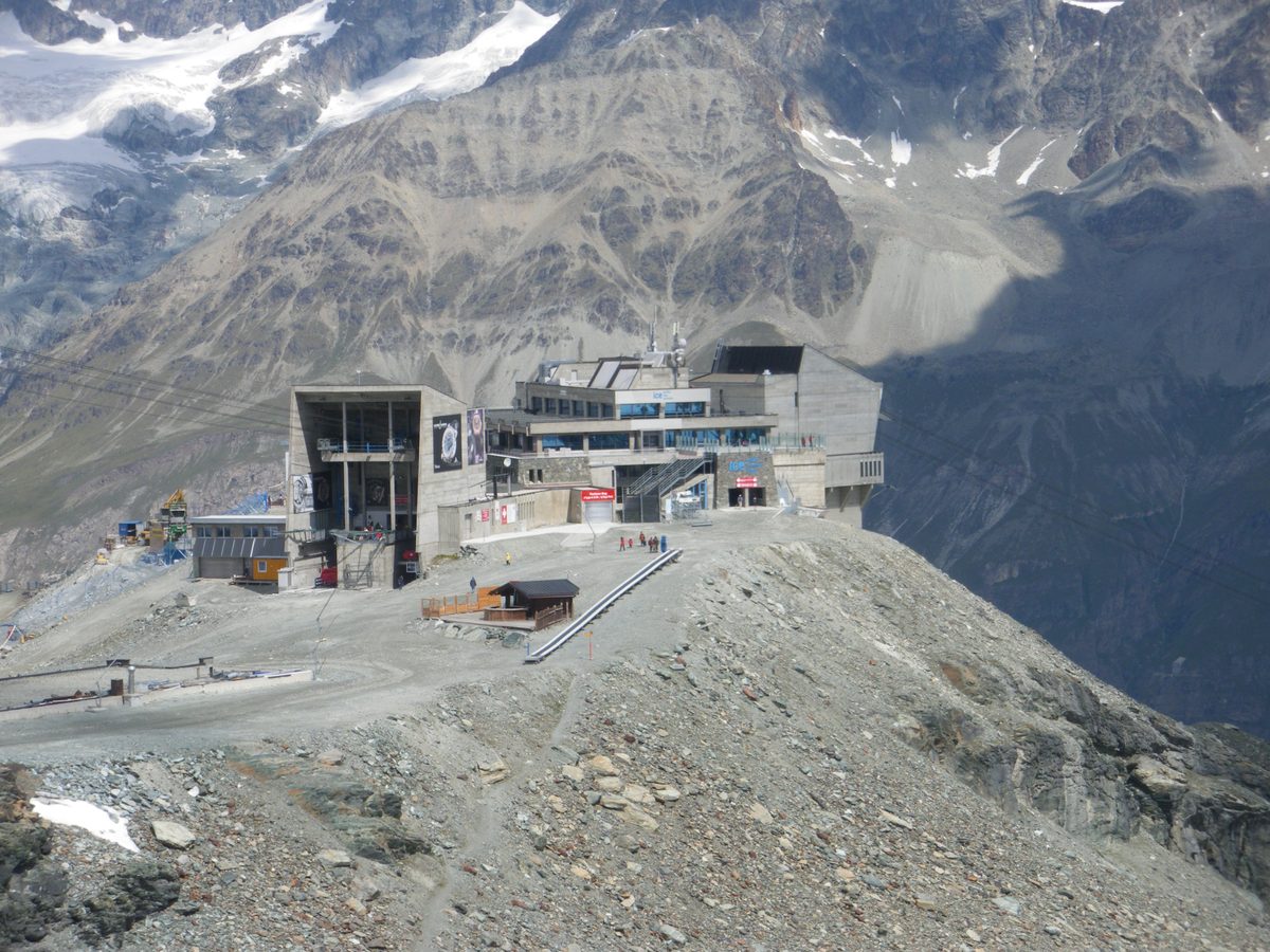
Photo: Globulariifolia, CC BY-SA 3.0 / Wikimedia Commons
- 2
Schwarzsee
- 3
Restaurant Schwarzsee
- 4
Schwarzsee cable car station
About the route
From the Trockener Steg cable car station over scree and rock left by the retreating Furgg and Theodul glaciers, past several small lakes and via Hirli to Schwarzsee. Information boards along the way. One way.
Since the Little Ice Age around 1850, the Furgg and Theodul glaciers have retreated more than three kilometers, and the boards, in German, English, French and Japanese, explain what the ice leaves behind, what that means for plants and animals, and how people use it. Zermatt Tourism rates the trail T3 and recommends good footwear and possibly hiking poles; stay on the marked path and don't go onto the glaciers without a mountain guide. In winter, December to April, only as a snowshoe tour with a qualified mountain guide.
More routes in Zermatt
Nearby
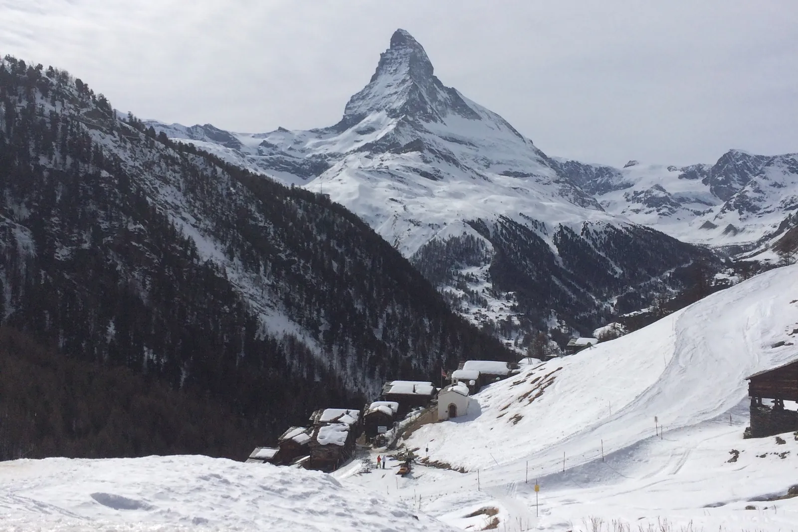 In winter: Zermatt ski area
Photo: Alexandrasophiewexler, CC BY-SA 4.0 / Wikimedia Commons
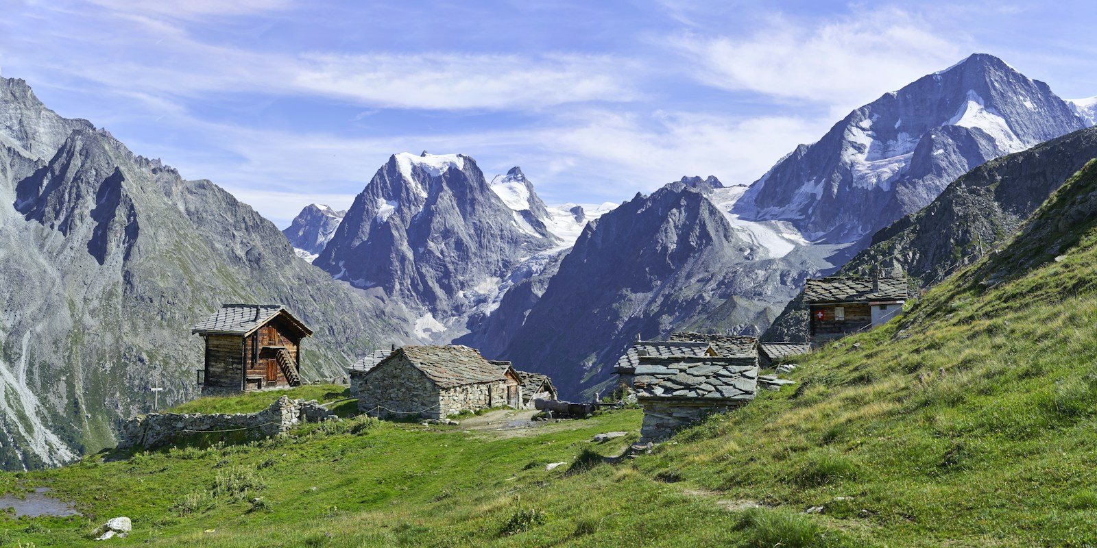 Arolla
Photo: Xavier von Erlach / Unsplash
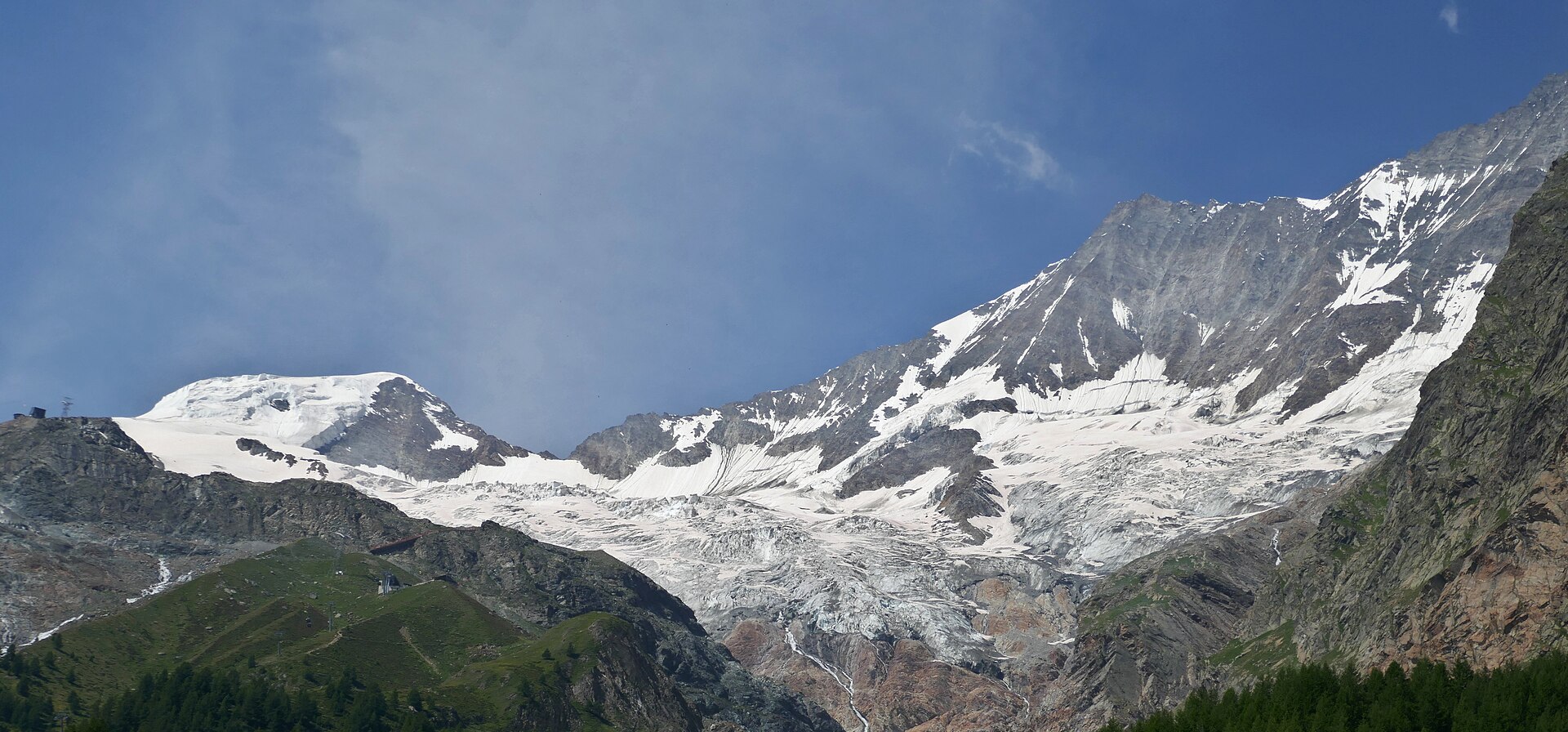 Saas-Fee
Photo: Tiia Monto, CC BY 4.0 / Wikimedia Commons
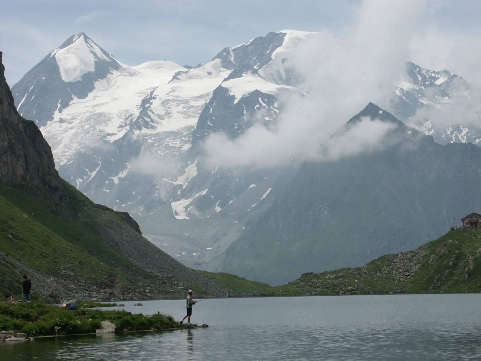 Val de Bagnes
Photo: Olivier Bruchez, CC BY-SA 2.0 / Wikimedia Commons
Sources (12) · last checked October 2026
Route data checked: October 2026
- Zermatt Tourismus — route, access, history
- Matterhorn Glacier Trail (No. 26) — route, distance, elevation, time, difficulty
- Furiweg (No. 51) — route, distance, elevation, time, difficulty, access
- 5-Seenweg: Blauherd – Sunnegga — route
- Riffelsee trail: Rotenboden – Riffelberg — route
- Hörnliweg: Schwarzsee – Hörnlihütte — route, distance, elevation, time, difficulty, rules
- Zermatt Bergbahnen AG — access, rules, season and opening
- Matterhorn Glacier Trail (No. 26) — route, time, difficulty, season and opening
- 5-Seenweg: Blauherd – Sunnegga — route, difficulty, season and opening
- Matterhorn Gotthard Bahn — access
- Air Zermatt — emergency numbers
- Deutscher Alpenverein (alpenverein.de) — emergency numbers
- ch.ch (Swiss authorities) — emergency numbers
- SchweizMobil — route, track, distance, elevation, time, difficulty
- Gornergrat Bahn — route, distance, elevation, time, difficulty
- Gornergrat Bahn AG (gornergrat.ch) — season and opening
- Hörnlihütte — time, rules
- BRouter (OpenStreetMap) — track
- swisstopo — elevation